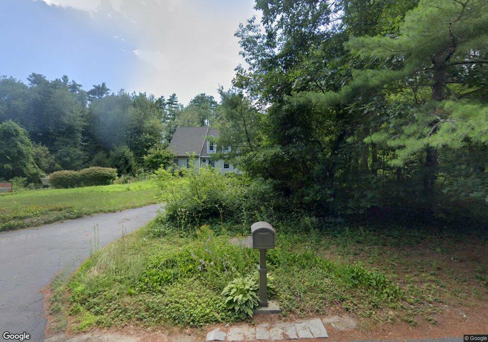
1 Stuart Rd Rochester, MA 02770
Estimated Value: $748,000 - $816,000
3
Beds
3
Baths
2,674
Sq Ft
$289/Sq Ft
Est. Value
About This Home
This home is located at 1 Stuart Rd, Rochester, MA 02770 and is currently estimated at $773,921, approximately $289 per square foot. 1 Stuart Rd is a home located in Plymouth County with nearby schools including Rochester Memorial School and Old Rochester Regional High School.
Ownership History
Date
Name
Owned For
Owner Type
Purchase Details
Closed on
May 7, 2014
Sold by
Torren Alan G and Torren Janet E
Bought by
Torren Ft
Current Estimated Value
Purchase Details
Closed on
Dec 31, 1986
Bought by
Torren Alan G and Torren Janet E
Create a Home Valuation Report for This Property
The Home Valuation Report is an in-depth analysis detailing your home's value as well as a comparison with similar homes in the area
Home Values in the Area
Average Home Value in this Area
Purchase History
| Date | Buyer | Sale Price | Title Company |
|---|---|---|---|
| Torren Ft | -- | -- | |
| Torren Alan G | $54,000 | -- |
Source: Public Records
Mortgage History
| Date | Status | Borrower | Loan Amount |
|---|---|---|---|
| Previous Owner | Torren Alan G | $122,200 | |
| Previous Owner | Torren Alan G | $134,000 | |
| Previous Owner | Torren Alan G | $94,000 |
Source: Public Records
Tax History
| Year | Tax Paid | Tax Assessment Tax Assessment Total Assessment is a certain percentage of the fair market value that is determined by local assessors to be the total taxable value of land and additions on the property. | Land | Improvement |
|---|---|---|---|---|
| 2025 | $7,385 | $682,500 | $169,300 | $513,200 |
| 2024 | $6,964 | $629,700 | $161,300 | $468,400 |
| 2023 | $6,641 | $559,500 | $161,300 | $398,200 |
| 2022 | $6,340 | $497,664 | $196,664 | $301,000 |
| 2021 | $6,188 | $462,835 | $185,635 | $277,200 |
| 2020 | $6,036 | $447,800 | $179,700 | $268,100 |
| 2019 | $6,009 | $429,200 | $169,400 | $259,800 |
| 2018 | $5,878 | $416,600 | $152,600 | $264,000 |
| 2017 | $5,497 | $382,000 | $141,000 | $241,000 |
| 2016 | $5,491 | $391,900 | $153,400 | $238,500 |
| 2015 | $5,233 | $371,900 | $153,400 | $218,500 |
| 2014 | $5,065 | $365,700 | $139,500 | $226,200 |
Source: Public Records
Map
Nearby Homes
- 7 Randall Rd
- 37 Stuart Rd
- 12 Thistle Ln
- 316 Walnut Plain Rd
- 234 Walnut Plain Rd
- 224 Walnut Plain Rd
- 214 Walnut Plain Rd
- 151 Walnut Plain Rd
- 945 Walnut Plain Rd
- 82 Pierce St
- 15 Cross Rd
- 31 Cross Rd
- Lot5 Forbes Rd
- 2 Edwards Bridge Rd
- 4 Sarahbeth Ln Unit 1
- 2 Hayley Cir
- 4 Hayley Cir
- 3 Autumn Dr
- 0 County Rd
- 4 White Pine Ave
- 3 Stuart Rd
- 525 Walnut Plain Rd
- 549 Walnut Plain Rd
- 4 Stuart Rd
- 5 Stuart Rd
- 522 Walnut Plain Rd
- 555 Walnut Plain Rd
- 544 Walnut Plain Rd
- 517 Walnut Plain Rd
- 6 Stuart Rd
- 7 Stuart Rd
- 509 Walnut Plain Rd
- 2 High St
- 8 Stuart Rd
- LOT 21 Walnut Plain Rd
- 9 Stuart Rd
- 501 Walnut Plain Rd
- 10 Stuart Rd
- 10 Stuart Rd Unit 1
- 12 High St
Your Personal Tour Guide
Ask me questions while you tour the home.