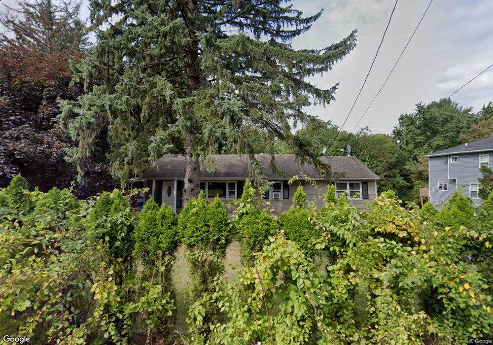
1 Summit Park Rd Spring Valley, NY 10977
Estimated Value: $752,278 - $963,000
3
Beds
3
Baths
1,624
Sq Ft
$537/Sq Ft
Est. Value
About This Home
This home is located at 1 Summit Park Rd, Spring Valley, NY 10977 and is currently estimated at $872,070, approximately $536 per square foot. 1 Summit Park Rd is a home located in Rockland County with nearby schools including Hempstead Elementary School, Pomona Middle School, and Ramapo High School.
Ownership History
Date
Name
Owned For
Owner Type
Purchase Details
Closed on
Nov 15, 2005
Sold by
Cesar Deolindo and Cesar Debora
Bought by
Zalewski Mariusz and Kaminska Agnieszka
Current Estimated Value
Home Financials for this Owner
Home Financials are based on the most recent Mortgage that was taken out on this home.
Original Mortgage
$352,000
Outstanding Balance
$193,220
Interest Rate
6.07%
Mortgage Type
Fannie Mae Freddie Mac
Estimated Equity
$678,850
Purchase Details
Closed on
Jan 19, 1996
Sold by
Bobb Margaret L
Bought by
Cesar Deolindo and Cesar Debora
Home Financials for this Owner
Home Financials are based on the most recent Mortgage that was taken out on this home.
Original Mortgage
$144,000
Interest Rate
7.13%
Mortgage Type
Construction
Create a Home Valuation Report for This Property
The Home Valuation Report is an in-depth analysis detailing your home's value as well as a comparison with similar homes in the area
Home Values in the Area
Average Home Value in this Area
Purchase History
| Date | Buyer | Sale Price | Title Company |
|---|---|---|---|
| Zalewski Mariusz | $440,000 | -- | |
| Cesar Deolindo | $160,000 | Security Title & Guaranty Co |
Source: Public Records
Mortgage History
| Date | Status | Borrower | Loan Amount |
|---|---|---|---|
| Open | Zalewski Mariusz | $352,000 | |
| Previous Owner | Cesar Deolindo | $144,000 |
Source: Public Records
Tax History
| Year | Tax Paid | Tax Assessment Tax Assessment Total Assessment is a certain percentage of the fair market value that is determined by local assessors to be the total taxable value of land and additions on the property. | Land | Improvement |
|---|---|---|---|---|
| 2024 | $11,903 | $49,500 | $13,400 | $36,100 |
| 2023 | $11,903 | $49,500 | $13,400 | $36,100 |
| 2022 | $10,790 | $49,500 | $13,400 | $36,100 |
| 2021 | $10,790 | $49,500 | $13,400 | $36,100 |
| 2020 | $10,572 | $49,500 | $13,400 | $36,100 |
| 2019 | $10,781 | $49,500 | $13,400 | $36,100 |
| 2018 | $10,781 | $49,500 | $13,400 | $36,100 |
| 2017 | $10,413 | $49,500 | $13,400 | $36,100 |
| 2016 | $10,390 | $49,500 | $13,400 | $36,100 |
| 2015 | -- | $49,500 | $13,400 | $36,100 |
| 2014 | -- | $49,500 | $13,400 | $36,100 |
Source: Public Records
Map
Nearby Homes
- 5 Summit Park Rd Unit 1
- 5 Summit Park Rd
- 616 New Hempstead Rd
- 606 New Hempstead Rd
- 301 Hempstead Rd
- 615 New Hempstead Rd
- 9 Summit Park Rd
- 619 New Hempstead Rd
- 10 Summit Park Rd
- 300 Hempstead Rd
- 15 Summit Park Rd
- 295 Hempstead Rd
- 16 Summit Park Rd
- 626 New Hempstead Rd
- 2 Bridle Rd
- 3 Westview Rd
- 586 New Hempstead Rd
- 17 Summit Park Rd
- 289 Hempstead Rd
- 292 Hempstead Rd
Your Personal Tour Guide
Ask me questions while you tour the home.