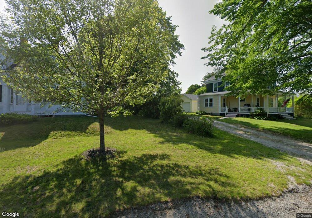
1 Sunset Rd Deer Isle, ME 04627
Estimated Value: $276,408 - $497,000
3
Beds
1
Bath
1,200
Sq Ft
$319/Sq Ft
Est. Value
About This Home
This home is located at 1 Sunset Rd, Deer Isle, ME 04627 and is currently estimated at $382,852, approximately $319 per square foot. 1 Sunset Rd is a home located in Hancock County with nearby schools including Deer Isle-Stonington Elementary School, Deer Isle-Stonington High School, and The Heritage School.
Ownership History
Date
Name
Owned For
Owner Type
Purchase Details
Closed on
Aug 20, 2021
Sold by
Ellis David H
Bought by
Brown Phelps
Current Estimated Value
Home Financials for this Owner
Home Financials are based on the most recent Mortgage that was taken out on this home.
Original Mortgage
$160,000
Outstanding Balance
$144,633
Interest Rate
2.8%
Mortgage Type
New Conventional
Estimated Equity
$238,219
Create a Home Valuation Report for This Property
The Home Valuation Report is an in-depth analysis detailing your home's value as well as a comparison with similar homes in the area
Home Values in the Area
Average Home Value in this Area
Purchase History
| Date | Buyer | Sale Price | Title Company |
|---|---|---|---|
| Brown Phelps | -- | None Available | |
| Brown Phelps | -- | None Available | |
| Brown Phelps | -- | None Available |
Source: Public Records
Mortgage History
| Date | Status | Borrower | Loan Amount |
|---|---|---|---|
| Open | Brown Phelps | $160,000 | |
| Closed | Brown Phelps | $160,000 |
Source: Public Records
Tax History Compared to Growth
Tax History
| Year | Tax Paid | Tax Assessment Tax Assessment Total Assessment is a certain percentage of the fair market value that is determined by local assessors to be the total taxable value of land and additions on the property. | Land | Improvement |
|---|---|---|---|---|
| 2024 | $1,668 | $193,000 | $45,400 | $147,600 |
| 2023 | $1,559 | $193,000 | $45,400 | $147,600 |
| 2022 | $1,496 | $193,000 | $45,400 | $147,600 |
| 2021 | $1,476 | $193,000 | $45,400 | $147,600 |
| 2020 | $1,544 | $74,400 | $7,800 | $66,600 |
| 2019 | $1,930 | $74,400 | $7,800 | $66,600 |
| 2018 | $1,633 | $74,400 | $7,800 | $66,600 |
| 2017 | $1,581 | $74,400 | $7,800 | $66,600 |
| 2016 | $1,562 | $74,400 | $7,800 | $66,600 |
| 2015 | $1,629 | $74,400 | $7,800 | $66,600 |
| 2014 | $1,698 | $74,400 | $7,800 | $66,600 |
| 2013 | $1,698 | $74,400 | $7,800 | $66,600 |
Source: Public Records
Map
Nearby Homes
- 31 Pressey Village Rd
- 005-054 Bridge St
- 113 Pressey Village Rd
- 41 Church St
- 13 Dow Rd
- 0 Quaco Rd Unit 1625807
- 36 Treasure Ln
- 15 SW Harbor Rd
- 27 Spofford Dr
- M3L66&66-2 Sunset Cross Rd
- 191 Sunset Cross Rd
- 36 Greenlaw District Rd
- Sheephead Island
- Lot 001 Sheephead Island
- 145 Stanley Field Rd
- 594 N Deer Isle Rd
- 17 Barbour Farm Rd
- 18 Davids Way
- 5 Oceanville Rd
- 70 Owens Way
- 10 Pressey Village Rd
- 0 Pressey Village Rd Unit 863083
- 0 Pressey Village Rd Unit 1085946
- 11 Sunset Rd
- 7 Pressey Village Rd
- 16 Pressey Village Rd
- 11 & 29 Pressey Village Rd
- 11 Pressey Village Rd
- 25 Sunset Cross Rd
- 27 Sunset Rd
- 10 Sunset Rd
- 53 Bridge St
- 16 Sunset Rd
- 30 Pressey Village Rd
- 15 Sunset Rd
- 60 Bridge St
- 31 Sunset Rd
- 47 Bridge St
- 56 & 60 Bridge St
- 35 Sunset Rd