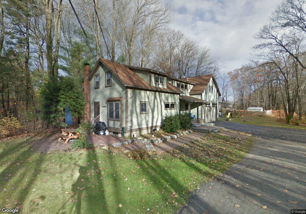
1 Talbot St Unit 19 Portland, ME 04103
North Deering NeighborhoodEstimated Value: $677,000 - $792,000
2
Beds
2
Baths
1,702
Sq Ft
$432/Sq Ft
Est. Value
About This Home
This home is located at 1 Talbot St Unit 19, Portland, ME 04103 and is currently estimated at $735,718, approximately $432 per square foot. 1 Talbot St Unit 19 is a home located in Cumberland County with nearby schools including Harrison Lyseth Elementary School, Lyman Moore Middle School, and St. Brigid School.
Ownership History
Date
Name
Owned For
Owner Type
Purchase Details
Closed on
Jun 29, 2021
Sold by
Madden Jane M and Fossett Beryl D
Bought by
Derring Nick and Derring Amy
Current Estimated Value
Purchase Details
Closed on
Oct 20, 2011
Sold by
Ae Brown Co Inc
Bought by
Oconnor Susan M and Oconnor Stephen A
Purchase Details
Closed on
Feb 18, 2011
Sold by
Fnma
Bought by
Derrig Nicholas and Derrig Amy K
Purchase Details
Closed on
Apr 1, 2010
Sold by
Reynolds Steven S and Wells Fargo Bank Na
Bought by
Wells Fargo Bank Na
Create a Home Valuation Report for This Property
The Home Valuation Report is an in-depth analysis detailing your home's value as well as a comparison with similar homes in the area
Home Values in the Area
Average Home Value in this Area
Purchase History
| Date | Buyer | Sale Price | Title Company |
|---|---|---|---|
| Derring Nick | -- | None Available | |
| Oconnor Susan M | -- | -- | |
| Derrig Nicholas | -- | -- | |
| Wells Fargo Bank Na | -- | -- |
Source: Public Records
Mortgage History
| Date | Status | Borrower | Loan Amount |
|---|---|---|---|
| Previous Owner | Wells Fargo Bank Na | $98,000 | |
| Closed | Oconnor Susan M | $0 |
Source: Public Records
Tax History Compared to Growth
Tax History
| Year | Tax Paid | Tax Assessment Tax Assessment Total Assessment is a certain percentage of the fair market value that is determined by local assessors to be the total taxable value of land and additions on the property. | Land | Improvement |
|---|---|---|---|---|
| 2024 | $7,738 | $515,500 | $81,600 | $433,900 |
| 2023 | $7,428 | $515,500 | $81,600 | $433,900 |
| 2022 | $7,016 | $515,500 | $81,600 | $433,900 |
| 2021 | $6,696 | $515,500 | $81,600 | $433,900 |
| 2020 | $6,627 | $284,300 | $86,900 | $197,400 |
| 2019 | $6,627 | $284,300 | $86,900 | $197,400 |
| 2018 | $6,207 | $276,100 | $86,900 | $189,200 |
| 2017 | $5,978 | $276,100 | $86,900 | $189,200 |
| 2016 | $5,828 | $276,100 | $86,900 | $189,200 |
| 2015 | $5,696 | $276,100 | $86,900 | $189,200 |
| 2014 | $5,522 | $276,100 | $86,900 | $189,200 |
Source: Public Records
Map
Nearby Homes
- 174 Christy Rd
- 24 Surrey Ln
- 118 Pineloch Dr
- 3 Cresfield Terrace Unit 4503
- 60 Crestview Dr
- 2 Surrey Ln
- 10 Cresfield Terrace Unit 4304
- 67 Carter St
- 132 Hope Ave
- 21 Stonecrest Dr
- 1851 Washington Ave
- 14 Shepherd Ln
- 16 Shepherd Ln
- 33 Northwood Dr
- 1969 Washington Ave
- 1 Blackstrap Rd
- 98 Regan Ln
- 1 Coolidge Ave
- 86 Allison Ave
- 345 Palmer Ave