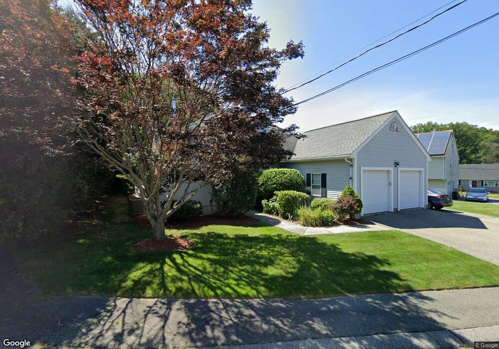
1 The Great Rd Woburn, MA 01801
Cummingsville NeighborhoodEstimated Value: $902,711 - $1,066,000
3
Beds
2
Baths
1,751
Sq Ft
$569/Sq Ft
Est. Value
About This Home
This home is located at 1 The Great Rd, Woburn, MA 01801 and is currently estimated at $996,178, approximately $568 per square foot. 1 The Great Rd is a home located in Middlesex County with nearby schools including Reeves Elementary School, Daniel L. Joyce Middle School, and Woburn High School.
Ownership History
Date
Name
Owned For
Owner Type
Purchase Details
Closed on
Jun 30, 2009
Sold by
Maher Rt and Maher
Bought by
Fox Robert and Fox Karen B
Current Estimated Value
Home Financials for this Owner
Home Financials are based on the most recent Mortgage that was taken out on this home.
Original Mortgage
$347,500
Interest Rate
4.92%
Mortgage Type
Purchase Money Mortgage
Create a Home Valuation Report for This Property
The Home Valuation Report is an in-depth analysis detailing your home's value as well as a comparison with similar homes in the area
Home Values in the Area
Average Home Value in this Area
Purchase History
| Date | Buyer | Sale Price | Title Company |
|---|---|---|---|
| Fox Robert | $497,500 | -- | |
| Fox Robert | $497,500 | -- |
Source: Public Records
Mortgage History
| Date | Status | Borrower | Loan Amount |
|---|---|---|---|
| Open | Fox Robert | $347,500 | |
| Closed | Fox Robert | $347,500 |
Source: Public Records
Tax History Compared to Growth
Tax History
| Year | Tax Paid | Tax Assessment Tax Assessment Total Assessment is a certain percentage of the fair market value that is determined by local assessors to be the total taxable value of land and additions on the property. | Land | Improvement |
|---|---|---|---|---|
| 2025 | $7,469 | $874,600 | $418,700 | $455,900 |
| 2024 | $6,889 | $854,700 | $398,800 | $455,900 |
| 2023 | $7,025 | $807,500 | $362,600 | $444,900 |
| 2022 | $6,887 | $737,400 | $315,400 | $422,000 |
| 2021 | $8,987 | $695,000 | $300,400 | $394,600 |
| 2020 | $6,030 | $647,000 | $300,400 | $346,600 |
| 2019 | $5,775 | $607,900 | $286,100 | $321,800 |
| 2018 | $23,168 | $573,400 | $273,000 | $300,400 |
| 2017 | $24,054 | $551,200 | $260,100 | $291,100 |
| 2016 | $5,227 | $520,100 | $243,100 | $277,000 |
| 2015 | $5,033 | $494,900 | $227,200 | $267,700 |
| 2014 | $4,837 | $463,300 | $244,600 | $218,700 |
Source: Public Records
Map
Nearby Homes
- 35 Sylvanus Wood Ln
- 12 Surrey Rd
- 10 Battlemarch Way
- 2 Otis St
- 185 Lexington St
- 19 Hammond Place Unit 19
- 192 Lexington St
- 81 Hammond Place
- 60 Revere Rd
- 28 Marlboro Rd
- 212 Cambridge Rd
- 19 Day Cir
- 7 Locust St
- 112 Burlington St
- 2 Pheasant Ln
- 4 Hiawatha Rd
- 12 Dix Rd
- 16 Eugene Rd
- 8 Janis Terrace
- 3 Manomet Rd
- 20 Sylvanus Wood Ln
- 3 The Great Rd
- 3 The Great Rd
- 22 Sylvanus Wood Ln
- 11 The Great Rd
- 21 Lafayette Place
- 4 Tory Row
- 19 Lafayette Place
- 4 The Great Rd
- 6 The Great Rd
- 24 Sylvanus Wood Ln
- 18 Sylvanus Wood Ln
- 17 Lafayette Place
- 2 The Great Rd
- 2 Tory Row
- 19 Sylvanus Wood Ln
- 15 Lafayette Place
- 38 Cambridge Rd
- 23 Sylvanus Wood Ln
- 9 Lafayette Place