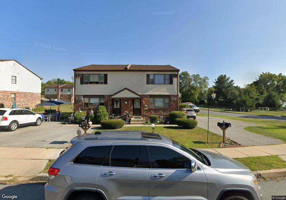
1 Thomas Rd Aston, PA 19014
Estimated Value: $302,000 - $361,046
4
Beds
2
Baths
1,600
Sq Ft
$212/Sq Ft
Est. Value
About This Home
This home is located at 1 Thomas Rd, Aston, PA 19014 and is currently estimated at $338,512, approximately $211 per square foot. 1 Thomas Rd is a home located in Delaware County with nearby schools including The Christian Academy.
Ownership History
Date
Name
Owned For
Owner Type
Purchase Details
Closed on
Dec 12, 2025
Sold by
Holefelder Brothers Inc
Bought by
Delaware County Today Llc
Current Estimated Value
Purchase Details
Closed on
May 31, 2023
Sold by
Conan Lindsey J
Bought by
Holefelder Brother Inc
Purchase Details
Closed on
Feb 11, 2010
Sold by
Mattero Michael and Mattero Pia M
Bought by
Zajko Rita E and Zajko Richard L
Create a Home Valuation Report for This Property
The Home Valuation Report is an in-depth analysis detailing your home's value as well as a comparison with similar homes in the area
Home Values in the Area
Average Home Value in this Area
Purchase History
| Date | Buyer | Sale Price | Title Company |
|---|---|---|---|
| Delaware County Today Llc | $367,836 | None Listed On Document | |
| Delaware County Today Llc | $367,836 | None Listed On Document | |
| Holefelder Brother Inc | $500,000 | Sage Premier Settlements | |
| Holefelder Brother Inc | $500,000 | Sage Premier Settlements | |
| Holefelder Brother Inc | $500,000 | Sage Premier Settlements | |
| Holefelder Brother Inc | $500,000 | Sage Premier Settlements | |
| Zajko Rita E | -- | None Available | |
| Zajko Rita E | -- | None Available |
Source: Public Records
Tax History
| Year | Tax Paid | Tax Assessment Tax Assessment Total Assessment is a certain percentage of the fair market value that is determined by local assessors to be the total taxable value of land and additions on the property. | Land | Improvement |
|---|---|---|---|---|
| 2025 | $5,486 | $211,400 | $68,050 | $143,350 |
| 2024 | $5,486 | $211,400 | $68,050 | $143,350 |
| 2023 | $5,240 | $211,400 | $68,050 | $143,350 |
| 2022 | $5,053 | $211,400 | $68,050 | $143,350 |
| 2021 | $7,797 | $211,400 | $68,050 | $143,350 |
| 2020 | $4,157 | $101,780 | $35,180 | $66,600 |
| 2019 | $4,077 | $101,780 | $35,180 | $66,600 |
| 2018 | $3,904 | $101,780 | $0 | $0 |
| 2017 | $3,821 | $101,780 | $0 | $0 |
| 2016 | $559 | $101,780 | $0 | $0 |
| 2015 | $570 | $101,780 | $0 | $0 |
| 2014 | $570 | $101,780 | $0 | $0 |
Source: Public Records
Map
Nearby Homes
- 184 Fifth Ave
- 182 Fifth Ave
- 103 Tuscany Rd
- 113 W Knowlton Rd
- 147 Third Ave
- 887 Red Hill Rd
- 8 Travelo Ln
- 200 Anderson Ave
- 51 Lake Dr
- 3921 Concord Rd
- 4701 Pennell Rd Unit A12
- 4701 Pennell Rd Unit G11
- 4701 Pennell Rd Unit J11
- 4701 Pennell Rd Unit H3
- 2441 Weir Rd
- 112 Butt Ln
- 103 Bonsall Ave
- 53 Seward Ln
- 20 Neeld Ln
- 43 Morgan Rd
Your Personal Tour Guide
Ask me questions while you tour the home.