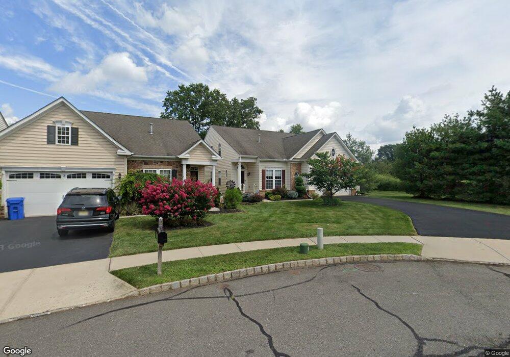
1 Thornton St Hillsborough, NJ 08844
Estimated Value: $733,000 - $765,000
--
Bed
--
Bath
2,498
Sq Ft
$299/Sq Ft
Est. Value
About This Home
This home is located at 1 Thornton St, Hillsborough, NJ 08844 and is currently estimated at $745,957, approximately $298 per square foot. 1 Thornton St is a home located in Somerset County with nearby schools including Hillsborough High School.
Ownership History
Date
Name
Owned For
Owner Type
Purchase Details
Closed on
Jul 30, 2019
Sold by
Francolini Robert P and Francolini Debra
Bought by
Francolini Robert P and Francolini Debra
Current Estimated Value
Purchase Details
Closed on
Mar 7, 2014
Sold by
Sterphone Joseph and Sterphone Linda
Bought by
Francolini Robert P and Francolini Debra A
Home Financials for this Owner
Home Financials are based on the most recent Mortgage that was taken out on this home.
Original Mortgage
$320,000
Outstanding Balance
$241,717
Interest Rate
4.25%
Mortgage Type
New Conventional
Estimated Equity
$504,240
Purchase Details
Closed on
Sep 28, 2007
Sold by
Nvr Inc
Bought by
Sterphone Joseph and Sterphone Linda
Purchase Details
Closed on
Jun 14, 2007
Sold by
Atlantic Equity Westmeade Llc
Bought by
Nvr Inc
Create a Home Valuation Report for This Property
The Home Valuation Report is an in-depth analysis detailing your home's value as well as a comparison with similar homes in the area
Home Values in the Area
Average Home Value in this Area
Purchase History
| Date | Buyer | Sale Price | Title Company |
|---|---|---|---|
| Francolini Robert P | -- | None Available | |
| Francolini Robert P | $440,000 | New Horizon Title | |
| Sterphone Joseph | $462,190 | None Available | |
| Nvr Inc | $184,000 | Title America Agency Corp |
Source: Public Records
Mortgage History
| Date | Status | Borrower | Loan Amount |
|---|---|---|---|
| Open | Francolini Robert P | $320,000 |
Source: Public Records
Tax History Compared to Growth
Tax History
| Year | Tax Paid | Tax Assessment Tax Assessment Total Assessment is a certain percentage of the fair market value that is determined by local assessors to be the total taxable value of land and additions on the property. | Land | Improvement |
|---|---|---|---|---|
| 2025 | $11,757 | $604,100 | $283,500 | $320,600 |
| 2024 | $11,757 | $548,600 | $248,500 | $300,100 |
| 2023 | $10,629 | $493,700 | $238,500 | $255,200 |
| 2022 | $10,495 | $470,000 | $213,500 | $256,500 |
| 2021 | $7,736 | $408,600 | $163,500 | $245,100 |
| 2020 | $9,534 | $399,900 | $153,500 | $246,400 |
| 2019 | $9,561 | $397,700 | $148,500 | $249,200 |
| 2018 | $9,746 | $402,900 | $138,500 | $264,400 |
| 2017 | $9,665 | $400,200 | $133,500 | $266,700 |
| 2016 | $9,922 | $411,000 | $133,500 | $277,500 |
| 2015 | $10,294 | $431,800 | $133,500 | $298,300 |
| 2014 | $9,021 | $397,200 | $133,500 | $263,700 |
Source: Public Records
Map
Nearby Homes
- 73 Weston Rd
- 327 White Ave
- 69 Weber Ave
- 1911 W Camplain Rd
- 230 Sunnymeade Rd
- 1612 W Camplain Rd
- 150 S 16th Ave
- 117 S 20th Ave
- 158 S 14th Ave
- 96 S 19th Ave
- 113 S 15th Ave
- 6 Leidl Cir
- 86 Norton Rd
- 11 Kyle St
- 7 Kyle St
- 25 Patriots Way
- 212 Huff Ave
- 20 Beekman St
- Cornelia Plan at Greens at Royce Brook - Preserve Collection
- Kentland Plan at Greens at Royce Brook - Retreat Collection
- 3 Thornton St
- 5 Thornton St
- 1383 Dominic St
- 1389 Dominic St
- 9 Thornton St
- 1395 Dominic St
- 22 Ruth Place
- 11 Thornton St
- 1377 Dominic St
- 1401 Dominic St
- 12 Ruth Place
- 13 Thornton St
- 1378 Dominic St
- 17 Ruth Place
- 1373 Dominic St
- 80 Richard Ave
- 10 Ruth Place
- 1407 Dominic St
- 15 Ruth Place
- 1372 Dominic St