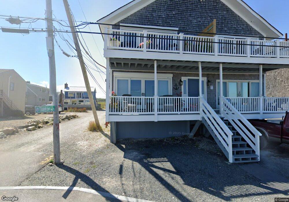
1 Tilden Ave Scituate, MA 02066
Estimated Value: $250,000 - $682,000
1
Bed
2
Baths
868
Sq Ft
$435/Sq Ft
Est. Value
About This Home
This home is located at 1 Tilden Ave, Scituate, MA 02066 and is currently estimated at $377,348, approximately $434 per square foot. 1 Tilden Ave is a home located in Plymouth County with nearby schools including Wampatuck Elementary School, Lester J. Gates Middle School, and Scituate High School.
Ownership History
Date
Name
Owned For
Owner Type
Purchase Details
Closed on
Feb 9, 2022
Sold by
Scituate Town Of
Bought by
Beach Boy Rt and Bloch
Current Estimated Value
Purchase Details
Closed on
Feb 22, 2019
Sold by
Power David M
Bought by
Power Thomas J
Purchase Details
Closed on
Feb 21, 2019
Sold by
Power Kathleen
Bought by
Power Thomas J
Purchase Details
Closed on
Oct 22, 2015
Sold by
Pease Lizbeth M
Bought by
Power Thomas J
Purchase Details
Closed on
May 30, 2003
Sold by
Power Mary B
Bought by
Power David Michael and Power David M
Create a Home Valuation Report for This Property
The Home Valuation Report is an in-depth analysis detailing your home's value as well as a comparison with similar homes in the area
Home Values in the Area
Average Home Value in this Area
Purchase History
| Date | Buyer | Sale Price | Title Company |
|---|---|---|---|
| Beach Boy Rt | $200,000 | None Available | |
| Power Thomas J | -- | -- | |
| Power Thomas J | -- | -- | |
| Power Thomas J | -- | -- | |
| Power David Michael | -- | -- |
Source: Public Records
Tax History
| Year | Tax Paid | Tax Assessment Tax Assessment Total Assessment is a certain percentage of the fair market value that is determined by local assessors to be the total taxable value of land and additions on the property. | Land | Improvement |
|---|---|---|---|---|
| 2025 | $3,047 | $305,000 | $232,500 | $72,500 |
| 2024 | $2,927 | $282,500 | $211,400 | $71,100 |
| 2023 | $0 | $247,100 | $192,200 | $54,900 |
| 2022 | $0 | $207,400 | $158,100 | $49,300 |
| 2021 | $2,589 | $194,200 | $150,500 | $43,700 |
| 2020 | $2,550 | $188,900 | $144,700 | $44,200 |
| 2019 | $2,557 | $186,100 | $141,900 | $44,200 |
| 2018 | $2,709 | $194,200 | $146,300 | $47,900 |
| 2017 | $2,736 | $194,200 | $146,300 | $47,900 |
| 2016 | $2,718 | $192,200 | $146,300 | $45,900 |
| 2015 | $2,442 | $186,400 | $140,500 | $45,900 |
Source: Public Records
Map
Nearby Homes
- 6 Tilden Ave
- 18A Mitchell Ave
- 100 Howard Gleason Rd
- 104 Howard Gleason Rd
- 70 Black Horse Ln
- 430 Hatherly Rd
- 430 Hatherly Rd Unit Exhibit “A”
- 430 Hatherly Rd Unit Exhibit “B”
- 68 Black Horse Ln
- 96 Black Horse Ln
- 124 Elm St Unit 308
- 98 Black Horse Ln
- 7 3 Ring Rd
- 66 Summer St
- 25 Mohawk Way
- 212 S Main St
- 135 Beach St
- 128 Elm St Unit 211
- 26 Mordecai Lincoln Rd
- 171 S Main St
- 3 Tilden Ave
- 5 Tilden Ave
- 5 Tilden Ave
- 7 Tilden Ave
- 7 Tilden Ave Unit 1
- 7 Tilden Ave
- 139 Glades Rd
- 4 Tilden Ave
- 9 Tilden Ave
- 149 Glades Rd
- 9 Tilden Ave
- 8 Tilden Ave
- 145R Glades Rd
- 145RR Glades Rd
- 145 Glades Rd Unit R
- 145 Glades Rd
- 143 Glades Rd
- 143 Glades Rd Unit 1
- 143 Glades Rd Unit A
- 12 Tilden Ave
Your Personal Tour Guide
Ask me questions while you tour the home.