1 Topping Canal Dr Poquoson, VA 23662
Poquoson West NeighborhoodEstimated Value: $554,000 - $633,000
5
Beds
5
Baths
2,772
Sq Ft
$215/Sq Ft
Est. Value
About This Home
This home is located at 1 Topping Canal Dr, Poquoson, VA 23662 and is currently estimated at $594,672, approximately $214 per square foot. 1 Topping Canal Dr is a home located in Poquoson City with nearby schools including Emmanuel Lutheran School, Living Word Academy, and Summit Christian Academy - Upper School.
Ownership History
Date
Name
Owned For
Owner Type
Purchase Details
Closed on
Mar 28, 2016
Bought by
Fritts James W
Current Estimated Value
Home Financials for this Owner
Home Financials are based on the most recent Mortgage that was taken out on this home.
Original Mortgage
$287,467
Outstanding Balance
$228,600
Interest Rate
3.71%
Estimated Equity
$366,072
Create a Home Valuation Report for This Property
The Home Valuation Report is an in-depth analysis detailing your home's value as well as a comparison with similar homes in the area
Home Values in the Area
Average Home Value in this Area
Purchase History
| Date | Buyer | Sale Price | Title Company |
|---|---|---|---|
| Fritts James W | -- | -- |
Source: Public Records
Mortgage History
| Date | Status | Borrower | Loan Amount |
|---|---|---|---|
| Open | Fritts James W | $287,467 | |
| Closed | Fritts James W | -- |
Source: Public Records
Tax History Compared to Growth
Tax History
| Year | Tax Paid | Tax Assessment Tax Assessment Total Assessment is a certain percentage of the fair market value that is determined by local assessors to be the total taxable value of land and additions on the property. | Land | Improvement |
|---|---|---|---|---|
| 2024 | $5,045 | $442,500 | $120,600 | $321,900 |
| 2023 | $4,806 | $433,000 | $120,600 | $312,400 |
| 2022 | $4,112 | $363,900 | $120,600 | $243,300 |
| 2021 | $4,112 | $363,900 | $120,600 | $243,300 |
| 2020 | $0 | $319,900 | $120,600 | $199,300 |
| 2019 | -- | $319,900 | $120,600 | $199,300 |
| 2018 | -- | $307,800 | $120,600 | $187,200 |
| 2017 | -- | $304,800 | $127,300 | $177,500 |
| 2016 | -- | $304,800 | $127,300 | $177,500 |
| 2015 | -- | $304,800 | $127,300 | $177,500 |
| 2013 | -- | $304,800 | $127,300 | $177,500 |
Source: Public Records
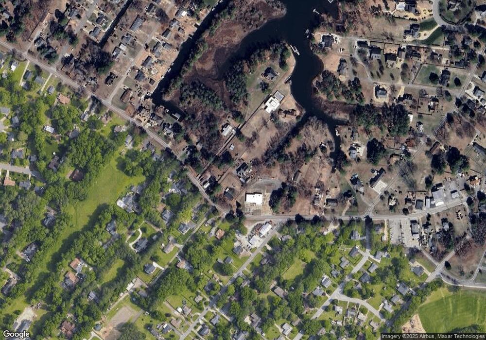
Map
Nearby Homes
- 718C Poquoson Ave
- 21 Rens Rd
- 62 Rens Rd
- 35 River Rd
- 29 River Rd
- 63 Charles Parish Dr
- 45 Valasia Rd
- 6 Lessies Dr
- 10 Kathy Dr
- 38 Valasia Rd
- 45 Cedar Rd
- 1 Smith St
- 3 Carmines Ct
- 7 Carmines Ct
- 105 Rens Rd Unit 30
- 105 Rens Rd Unit 2
- 105 Rens Rd Unit 74
- 105 Rens Rd Unit Lot 48
- 208 Little Florida Rd
- 7 Quail Cove
- 715 Poquoson Ave
- 715 Poquoson Ave
- 721 Poquoson Ave
- 731 Poquoson Ave
- 739 Poquoson Ave
- 707 Poquoson Ave
- 1 Islander Way
- 716 Poquoson Ave
- 710 Poquoson Ave
- 734 Poquoson Ave
- 711 Poquoson Ave
- 726 Poquoson Ave
- 722 Poquoson Ave
- 719 Poquoson Ave
- 719B Poquoson Ave
- 706 Poquoson Ave
- 111 Hudgins Rd
- 747 Poquoson Ave
- 114 Hudgins Rd
- 683 Poquoson Ave