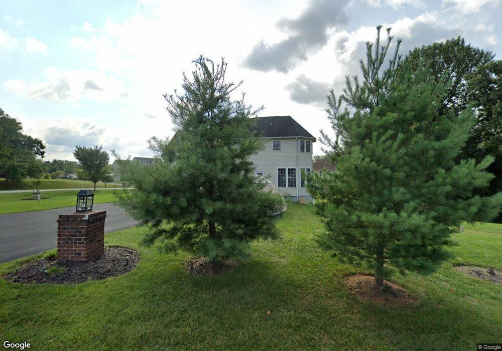
1 Towhee Ct Randallstown, MD 21133
Estimated Value: $689,081 - $773,000
Studio
3
Baths
4,716
Sq Ft
$157/Sq Ft
Est. Value
About This Home
This home is located at 1 Towhee Ct, Randallstown, MD 21133 and is currently estimated at $739,020, approximately $156 per square foot. 1 Towhee Ct is a home located in Baltimore County with nearby schools including Randallstown Elementary School, Windsor Mill Middle School, and Randallstown High School.
Ownership History
Date
Name
Owned For
Owner Type
Purchase Details
Closed on
Jun 22, 2020
Sold by
Tate John H and Tate Margaret L
Bought by
Tate Mary
Current Estimated Value
Purchase Details
Closed on
Aug 26, 2005
Sold by
Patapsco Valley Preserve Llc
Bought by
Tate John H and Tate Margaret L
Home Financials for this Owner
Home Financials are based on the most recent Mortgage that was taken out on this home.
Original Mortgage
$705,000
Interest Rate
7.5%
Mortgage Type
Purchase Money Mortgage
Create a Home Valuation Report for This Property
The Home Valuation Report is an in-depth analysis detailing your home's value as well as a comparison with similar homes in the area
Home Values in the Area
Average Home Value in this Area
Purchase History
| Date | Buyer | Sale Price | Title Company |
|---|---|---|---|
| Tate Mary | -- | None Available | |
| Tate John H | $200,000 | -- |
Source: Public Records
Mortgage History
| Date | Status | Borrower | Loan Amount |
|---|---|---|---|
| Closed | Tate John H | $705,000 |
Source: Public Records
Tax History
| Year | Tax Paid | Tax Assessment Tax Assessment Total Assessment is a certain percentage of the fair market value that is determined by local assessors to be the total taxable value of land and additions on the property. | Land | Improvement |
|---|---|---|---|---|
| 2025 | $6,909 | $589,533 | -- | -- |
| 2024 | $6,909 | $567,700 | $136,700 | $431,000 |
| 2023 | $3,427 | $560,600 | $0 | $0 |
| 2022 | $6,708 | $553,500 | $0 | $0 |
| 2021 | $6,439 | $546,400 | $136,700 | $409,700 |
| 2020 | $6,439 | $534,300 | $0 | $0 |
| 2019 | $6,203 | $522,200 | $0 | $0 |
| 2018 | $5,975 | $510,100 | $136,700 | $373,400 |
| 2017 | $5,689 | $484,033 | $0 | $0 |
| 2016 | $7,059 | $457,967 | $0 | $0 |
| 2015 | $7,059 | $431,900 | $0 | $0 |
| 2014 | $7,059 | $431,900 | $0 | $0 |
Source: Public Records
Map
Nearby Homes
- 3320 Offutt Rd
- 3332 Offutt Rd
- 8711 Windsor Mill Rd
- 3506 Bayer Ave
- 5713 Old Court Rd
- 0 Old Court Rd Parcel 631
- 9208A Liberty Rd
- 9 Greens Landing Ct
- 8601 Greens Ln
- 9301 Silver Charm Dr
- 9202 Samoset Rd
- 3524 Orchard Shade Rd
- 9401 Summer Squal Dr
- 3715 Peace Chance Dr
- 3317 Southgreen Rd
- 3723 Eastman Rd
- 3 Dajobe Ct
- 3558 Corn Stream Rd
- 3516 Corn Stream Rd
- 9605 Mendoza Rd
- 9112 Sylvan Dell Rd
- 2 Towhee Ct
- 9111 Sylvan Dell Rd
- 9109 Sylvan Dell Rd
- 9113 Sylvan Dell Rd
- 9201 Sylvan Dell Rd
- 9110 Sylvan Dell Rd
- 6 Towhee Ct
- 9107 Sylvan Dell Rd
- 9202 Sylvan Dell Rd
- 3231 Offutt Rd
- 9203 Sylvan Dell Rd
- 8706 Julia Flowers Ct
- 8 Towhee Ct
- 4 Phoebe Ct
- 8708 Julia Flowers Ct
- 9103 Sylvan Dell Rd
- 3302 Offutt Rd
- 6 Phoebe Ct
- 9101 Sylvan Dell Rd
Your Personal Tour Guide
Ask me questions while you tour the home.