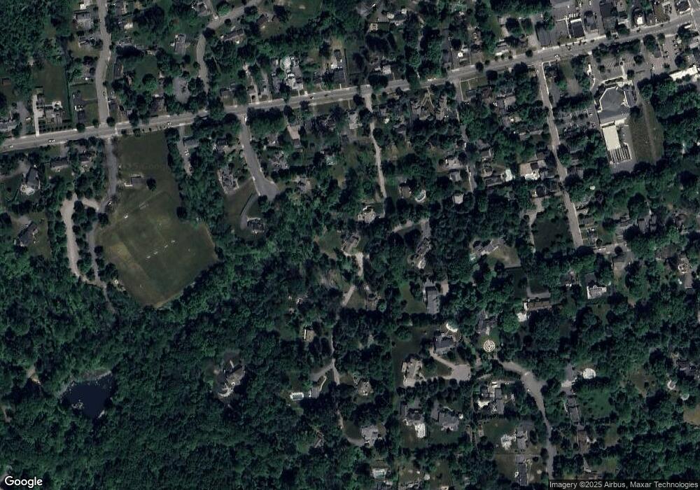
1 Townsend Rd Mendham, NJ 07945
Estimated Value: $714,799 - $835,000
Studio
--
Bath
1,621
Sq Ft
$488/Sq Ft
Est. Value
About This Home
This home is located at 1 Townsend Rd, Mendham, NJ 07945 and is currently estimated at $791,450, approximately $488 per square foot. 1 Townsend Rd is a home located in Morris County with nearby schools including Hilltop Elementary School, Mountain View Middle School, and West Morris Mendham High School.
Ownership History
Date
Name
Owned For
Owner Type
Purchase Details
Closed on
Dec 19, 2006
Sold by
Lopanik Darlene
Bought by
Lopanik Darlene and Lopanik Bruce
Current Estimated Value
Home Financials for this Owner
Home Financials are based on the most recent Mortgage that was taken out on this home.
Original Mortgage
$310,000
Outstanding Balance
$184,622
Interest Rate
6.24%
Mortgage Type
New Conventional
Estimated Equity
$606,828
Create a Home Valuation Report for This Property
The Home Valuation Report is an in-depth analysis detailing your home's value as well as a comparison with similar homes in the area
Home Values in the Area
Average Home Value in this Area
Purchase History
| Date | Buyer | Sale Price | Title Company |
|---|---|---|---|
| Lopanik Darlene | -- | -- |
Source: Public Records
Mortgage History
| Date | Status | Borrower | Loan Amount |
|---|---|---|---|
| Open | Lopanik Darlene | $310,000 |
Source: Public Records
Tax History Compared to Growth
Tax History
| Year | Tax Paid | Tax Assessment Tax Assessment Total Assessment is a certain percentage of the fair market value that is determined by local assessors to be the total taxable value of land and additions on the property. | Land | Improvement |
|---|---|---|---|---|
| 2025 | $12,317 | $500,700 | $334,700 | $166,000 |
| 2024 | $12,287 | $500,700 | $334,700 | $166,000 |
Source: Public Records
Map
Nearby Homes