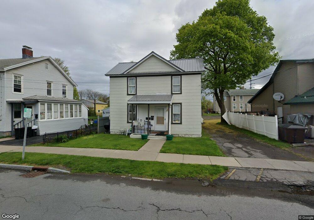
1 Underwood St Auburn, NY 13021
Estimated Value: $85,000 - $115,000
3
Beds
2
Baths
1,984
Sq Ft
$51/Sq Ft
Est. Value
About This Home
This home is located at 1 Underwood St, Auburn, NY 13021 and is currently estimated at $100,774, approximately $50 per square foot. 1 Underwood St is a home located in Cayuga County with nearby schools including Auburn Junior High School, Auburn High School, and Creative Minds Montessori School.
Ownership History
Date
Name
Owned For
Owner Type
Purchase Details
Closed on
Jul 24, 2015
Sold by
City Of Auburn
Bought by
Hurd John
Current Estimated Value
Purchase Details
Closed on
Jun 1, 2015
Sold by
Gauthier Robert Treasurer
Bought by
Auburn City Of
Purchase Details
Closed on
Nov 8, 2006
Sold by
Bertonica Steven
Bought by
Louisiana Equities Inc
Create a Home Valuation Report for This Property
The Home Valuation Report is an in-depth analysis detailing your home's value as well as a comparison with similar homes in the area
Home Values in the Area
Average Home Value in this Area
Purchase History
| Date | Buyer | Sale Price | Title Company |
|---|---|---|---|
| Hurd John | $20,550 | Stewart Title Insurance Co | |
| Auburn City Of | -- | John Rossi | |
| City Of Auburn New York | -- | None Available | |
| Louisiana Equities Inc | $19,250 | Ellen Priest | |
| Tcif Reoi Llc | $53,700 | Jordan Katz |
Source: Public Records
Tax History Compared to Growth
Tax History
| Year | Tax Paid | Tax Assessment Tax Assessment Total Assessment is a certain percentage of the fair market value that is determined by local assessors to be the total taxable value of land and additions on the property. | Land | Improvement |
|---|---|---|---|---|
| 2024 | $1,450 | $62,200 | $13,500 | $48,700 |
| 2023 | $1,449 | $62,200 | $13,500 | $48,700 |
| 2022 | $1,527 | $60,300 | $13,500 | $46,800 |
| 2021 | $1,644 | $60,000 | $12,000 | $48,000 |
| 2020 | $1,624 | $60,000 | $12,000 | $48,000 |
| 2019 | $510 | $60,000 | $12,000 | $48,000 |
| 2018 | $1,657 | $60,000 | $12,000 | $48,000 |
| 2017 | $1,814 | $66,300 | $12,700 | $53,600 |
| 2016 | $2,265 | $66,300 | $12,700 | $53,600 |
| 2015 | $945 | $66,300 | $12,700 | $53,600 |
| 2014 | $945 | $66,300 | $12,700 | $53,600 |
Source: Public Records
Map
Nearby Homes
- 0 N Division St Unit S1471491
- 6 Brookfield Place
- 81 Orchard St
- 21-23 Derby Ave
- 77 Orchard St
- 53 West St
- 47 West St Unit 49
- 50 N Division St
- 68 N Division St
- 7 Barber St
- 183 van Anden St
- 5 West St
- 7 Orchard Ave
- 8/151/9-11 Spring State Aurelius St
- 8 Spring St
- 107-109 Wall St
- 63 Washington St
- 12 Orchard Ave
- 16 Orchard Ave
- 288 Genesee St
- 3 Underwood St
- 17 Columbus St
- 11 Columbus St
- 7 Underwood St
- 9 Underwood St
- 25 Columbus St
- 11 Underwood St
- 4 Underwood St
- 6 Underwood St
- 13 Underwood St
- 8 Underwood St
- 15 Underwood St
- 10 Underwood St
- 12 Underwood St
- 17 Underwood St
- 31 Columbus St
- 0 N Division St
- 00 N Division St
- 0 N Division St Unit R1554297
- 0 N Division St Unit S1473529