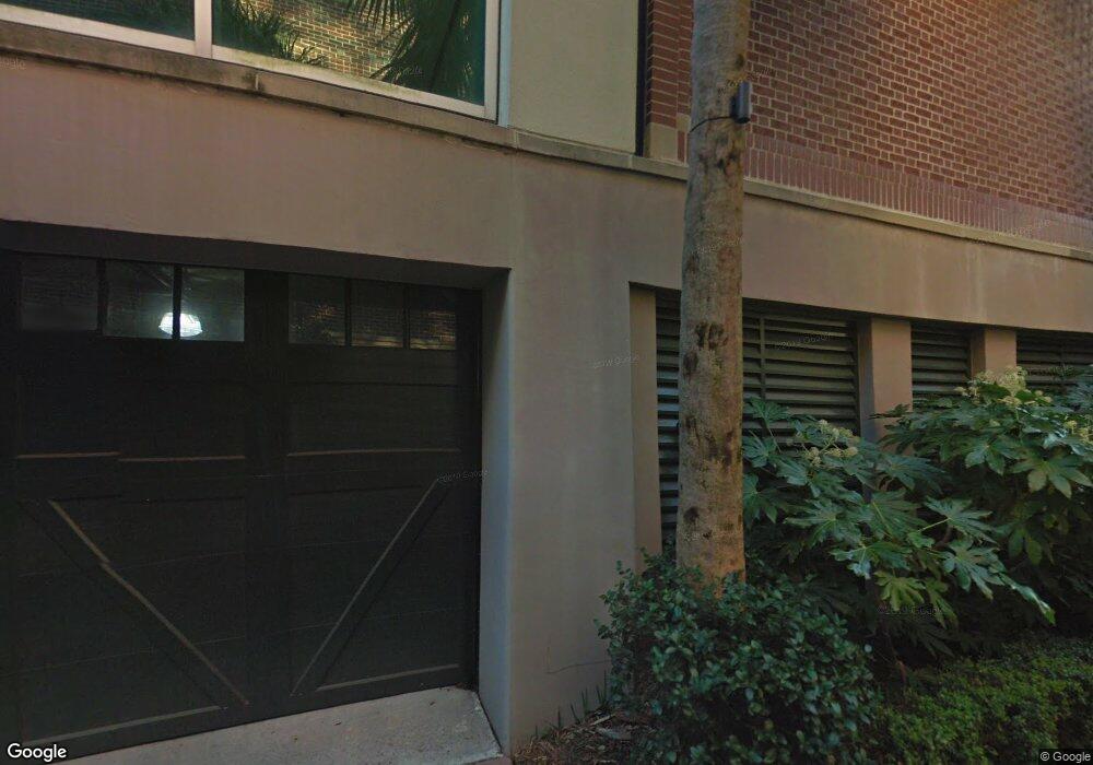
1 Vendue Range Unit 122 Charleston, SC 29401
French Quarter NeighborhoodEstimated Value: $3,495,431 - $4,138,000
3
Beds
3
Baths
3,261
Sq Ft
$1,139/Sq Ft
Est. Value
About This Home
This home is located at 1 Vendue Range Unit 122, Charleston, SC 29401 and is currently estimated at $3,713,477, approximately $1,138 per square foot. 1 Vendue Range Unit 122 is a home located in Charleston County with nearby schools including Memminger Elementary School, Simmons Pinckney Middle, and Burke High School.
Ownership History
Date
Name
Owned For
Owner Type
Purchase Details
Closed on
Oct 9, 2014
Sold by
Griffifhs Frances Dickey
Bought by
Matus Michael
Current Estimated Value
Purchase Details
Closed on
Jun 10, 2010
Sold by
Wallace David G and Wallace Laura
Bought by
Griffiths Frances Dickey
Purchase Details
Closed on
Dec 31, 2002
Sold by
Vendue/Prioleau Associates Llc
Bought by
Wallace David G and Wallace Laura
Create a Home Valuation Report for This Property
The Home Valuation Report is an in-depth analysis detailing your home's value as well as a comparison with similar homes in the area
Home Values in the Area
Average Home Value in this Area
Purchase History
| Date | Buyer | Sale Price | Title Company |
|---|---|---|---|
| Matus Michael | $2,700,000 | -- | |
| Griffiths Frances Dickey | $2,700,000 | -- | |
| Wallace David G | $2,085,250 | -- |
Source: Public Records
Tax History
| Year | Tax Paid | Tax Assessment Tax Assessment Total Assessment is a certain percentage of the fair market value that is determined by local assessors to be the total taxable value of land and additions on the property. | Land | Improvement |
|---|---|---|---|---|
| 2024 | $14,638 | $112,630 | $0 | $0 |
| 2023 | $14,049 | $112,630 | $0 | $0 |
| 2022 | $13,294 | $112,630 | $0 | $0 |
| 2021 | $13,970 | $112,630 | $0 | $0 |
| 2020 | $14,505 | $112,630 | $0 | $0 |
| 2019 | $13,706 | $104,550 | $0 | $0 |
| 2017 | $13,210 | $104,550 | $0 | $0 |
| 2016 | $39,411 | $156,810 | $0 | $0 |
| 2015 | $37,592 | $156,810 | $0 | $0 |
| 2014 | $36,873 | $0 | $0 | $0 |
| 2011 | -- | $0 | $0 | $0 |
Source: Public Records
Map
Nearby Homes
- 1 Vendue Range Unit I
- 5 Middle Atlantic Wharf Unit 2b
- 4 Exchange St
- 55 Concord St
- 109 E Bay St Unit 2D
- 15 N Adgers Wharf
- 21 Broad St
- 10 Philadelphia Aly Unit Lot C
- 12 Bedons Aly
- 124 Church St
- 103 Church St Unit A
- 6 Saint Michaels Aly
- 241 E Bay St
- 79 Church St
- 73 Church St
- 60 Church St
- 125 Meeting St Unit D
- 259 E Bay St Unit 7B
- 54 Church St
- 34 Pinckney St
- 1 Vendue Range Unit 133
- 1 Vendue Range Unit 132
- 1 Vendue Range Unit 131
- 1 Vendue Range Unit 124
- 1 Vendue Range Unit 123
- 1 Vendue Range Unit 121
- 1 Vendue Range Unit 114
- 1 Vendue Range Unit 113
- 1 Vendue Range Unit 112
- 1 Vendue Range Unit 111
- 1 Vendue Range Unit C
- 1 Vendue Range Unit 134
- 1 Vendue Range Unit 411
- 1 Vendue Range Unit A3.3
- 1 Vendue Range Unit 1E
- 1 Vendue Range Unit A3.2
- 1 Vendue Range Unit C2.3
- 1 Vendue Range Unit A1.3
- 1 Vendue Range Unit C3.2
- 1 Vendue Range Unit B1.2
Your Personal Tour Guide
Ask me questions while you tour the home.