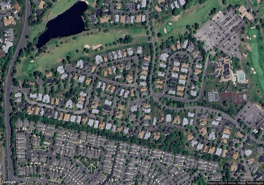
1 Ventnor Dr Monroe Township, NJ 08831
Estimated Value: $506,000 - $551,000
2
Beds
2
Baths
2,190
Sq Ft
$241/Sq Ft
Est. Value
About This Home
This home is located at 1 Ventnor Dr, Monroe Township, NJ 08831 and is currently estimated at $527,883, approximately $241 per square foot. 1 Ventnor Dr is a home located in Middlesex County with nearby schools including Oak Tree Elementary School, Monroe Township Middle School, and Monroe Township High School.
Ownership History
Date
Name
Owned For
Owner Type
Purchase Details
Closed on
May 3, 2018
Sold by
Faber Robert A and Faber Judith A
Bought by
Intersimone Nancy S
Current Estimated Value
Purchase Details
Closed on
Feb 8, 2012
Sold by
Faber Robert A and Faber Judith A
Bought by
Faber Robet A and Faber Judith A
Purchase Details
Closed on
Mar 9, 2005
Sold by
Faber William
Bought by
Faber Robert and Faber Judith
Create a Home Valuation Report for This Property
The Home Valuation Report is an in-depth analysis detailing your home's value as well as a comparison with similar homes in the area
Home Values in the Area
Average Home Value in this Area
Purchase History
| Date | Buyer | Sale Price | Title Company |
|---|---|---|---|
| Intersimone Nancy S | $300,000 | Nrt Title Agency Llc | |
| Faber Robet A | -- | None Available | |
| Faber Robert | $220,000 | -- |
Source: Public Records
Tax History Compared to Growth
Tax History
| Year | Tax Paid | Tax Assessment Tax Assessment Total Assessment is a certain percentage of the fair market value that is determined by local assessors to be the total taxable value of land and additions on the property. | Land | Improvement |
|---|---|---|---|---|
| 2025 | $4,995 | $177,700 | $75,000 | $102,700 |
| 2024 | $4,821 | $177,700 | $75,000 | $102,700 |
| 2023 | $4,821 | $177,700 | $75,000 | $102,700 |
| 2022 | $4,739 | $177,700 | $75,000 | $102,700 |
| 2021 | $3,536 | $177,700 | $75,000 | $102,700 |
| 2020 | $4,723 | $177,700 | $75,000 | $102,700 |
| 2019 | $4,617 | $177,700 | $75,000 | $102,700 |
| 2018 | $4,581 | $177,700 | $75,000 | $102,700 |
| 2017 | $4,510 | $177,700 | $75,000 | $102,700 |
| 2016 | $4,443 | $177,700 | $75,000 | $102,700 |
| 2015 | $4,336 | $177,700 | $75,000 | $102,700 |
| 2014 | $4,190 | $177,700 | $75,000 | $102,700 |
Source: Public Records
Map
Nearby Homes
- 15 Ingram Dr
- 35D Edinburgh Dr Unit C
- 22 Ventnor Dr Unit D
- 249 Nighthawk Dr
- 264 Nighthawk Dr
- 264 Nighthawk Dr Unit A
- 267 Nighthawk Dr
- 409 Harrier Dr Unit 409 H
- 10B Andrew Johnson Dr Unit D
- 284 Mockingbird Dr
- 277 Nighthawk Dr
- 125 Concordia Cir Unit A
- 125 Concordia Cir Unit 125A
- 218 N Pondview Blvd
- 123 Concordia Cir Unit G
- 16A Alexander Hamilton Ct Unit B
- 780B Ardmore Rd
- 13 John Hancock Dr
- 8 Benjamin Franklin Dr Unit 8E
- 8 Benjamin Franklin Dr Unit E
- 3 Ventnor Dr
- 7A Spaulding Dr
- B Abraham Lincoln Ct
- A Spaulding Dr
- 33 Ingram Dr
- 28B Ingram Dr
- 29 Ingram Dr
- 28D Ingram Dr
- 7B Spaulding Dr
- 4 Hempstead Dr
- 28A Ingram Dr
- 8 Spaulding Dr
- 28C Ingram Dr
- 27 Ingram Dr
- 9 Ventnor Dr
- 3C Spaulding Dr Unit 623C
- 3A Spaulding Dr
- 6 Spaulding Dr
- 25 Ingram Dr
- 2D Hempstead Dr Unit 632D
