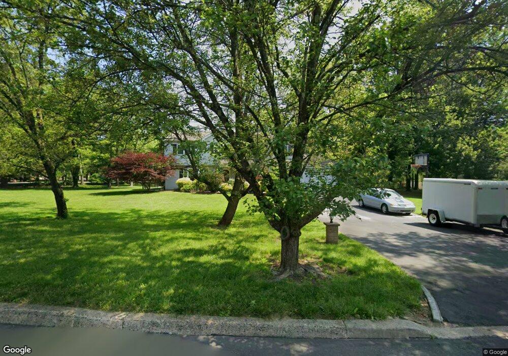
1 Virginia Ln Horsham, PA 19044
Estimated Value: $620,000 - $692,000
4
Beds
3
Baths
2,380
Sq Ft
$276/Sq Ft
Est. Value
About This Home
This home is located at 1 Virginia Ln, Horsham, PA 19044 and is currently estimated at $657,997, approximately $276 per square foot. 1 Virginia Ln is a home located in Montgomery County with nearby schools including Simmons Elementary School, Keith Valley Middle School, and Hatboro-Horsham Senior High School.
Ownership History
Date
Name
Owned For
Owner Type
Purchase Details
Closed on
Aug 12, 2011
Sold by
Wooler Robert L and Wooler Lynne L
Bought by
Kent David and Kent Jenna
Current Estimated Value
Home Financials for this Owner
Home Financials are based on the most recent Mortgage that was taken out on this home.
Original Mortgage
$335,700
Outstanding Balance
$232,001
Interest Rate
4.53%
Estimated Equity
$425,996
Create a Home Valuation Report for This Property
The Home Valuation Report is an in-depth analysis detailing your home's value as well as a comparison with similar homes in the area
Home Values in the Area
Average Home Value in this Area
Purchase History
| Date | Buyer | Sale Price | Title Company |
|---|---|---|---|
| Kent David | $373,000 | None Available |
Source: Public Records
Mortgage History
| Date | Status | Borrower | Loan Amount |
|---|---|---|---|
| Open | Kent David | $335,700 |
Source: Public Records
Tax History Compared to Growth
Tax History
| Year | Tax Paid | Tax Assessment Tax Assessment Total Assessment is a certain percentage of the fair market value that is determined by local assessors to be the total taxable value of land and additions on the property. | Land | Improvement |
|---|---|---|---|---|
| 2025 | $7,275 | $185,080 | $55,850 | $129,230 |
| 2024 | $7,275 | $185,080 | $55,850 | $129,230 |
| 2023 | $6,925 | $185,080 | $55,850 | $129,230 |
| 2022 | $6,701 | $185,080 | $55,850 | $129,230 |
| 2021 | $6,542 | $185,080 | $55,850 | $129,230 |
| 2020 | $6,388 | $185,080 | $55,850 | $129,230 |
| 2019 | $6,265 | $185,080 | $55,850 | $129,230 |
| 2018 | $5,331 | $185,080 | $55,850 | $129,230 |
| 2017 | $5,985 | $185,080 | $55,850 | $129,230 |
| 2016 | $5,912 | $185,080 | $55,850 | $129,230 |
| 2015 | $5,646 | $185,080 | $55,850 | $129,230 |
| 2014 | $5,646 | $185,080 | $55,850 | $129,230 |
Source: Public Records
Map
Nearby Homes
- 124 Sarahs Ln
- 45 Ember Ln
- 80 Whetstone Rd
- 2 Cedarbrook Dr
- 585 Colonial Dr
- 221 Winchester Dr
- 4 Beaver Hill Rd
- 603 Norristown Rd
- 45 Brookside Ct
- 44 Brookside Ct Unit 44
- 8 Barrel Stave Cir
- 15 Barrel Stave Cir
- 3 Emily Ct
- 6 Pheasant Run
- 454 1/2 Avenue A Unit A
- 43 Black Watch Ct
- 18 Hunt Dr
- 132 Hunt Dr
- 159 Hunt Dr
- 890 Easton Rd
- 501 Norristown Rd
- 3 Virginia Ln
- 4 Virginia Ln
- 2 Virginia Ln
- 6 Virginia Ln
- 475 Norristown Rd
- 5 Virginia Ln
- 500 Norristown Rd
- 438 Norristown Rd
- 441 Norristown Rd
- 473 Norristown Rd
- 8 Virginia Ln
- 440 Norristown Rd Unit 64
- 7 Virginia Ln
- 436 Norristown Rd
- 439 Norristown Rd
- 509 Norristown Rd
- 471 Norristown Rd
- 9 Virginia Ln
- 10 Virginia Ln