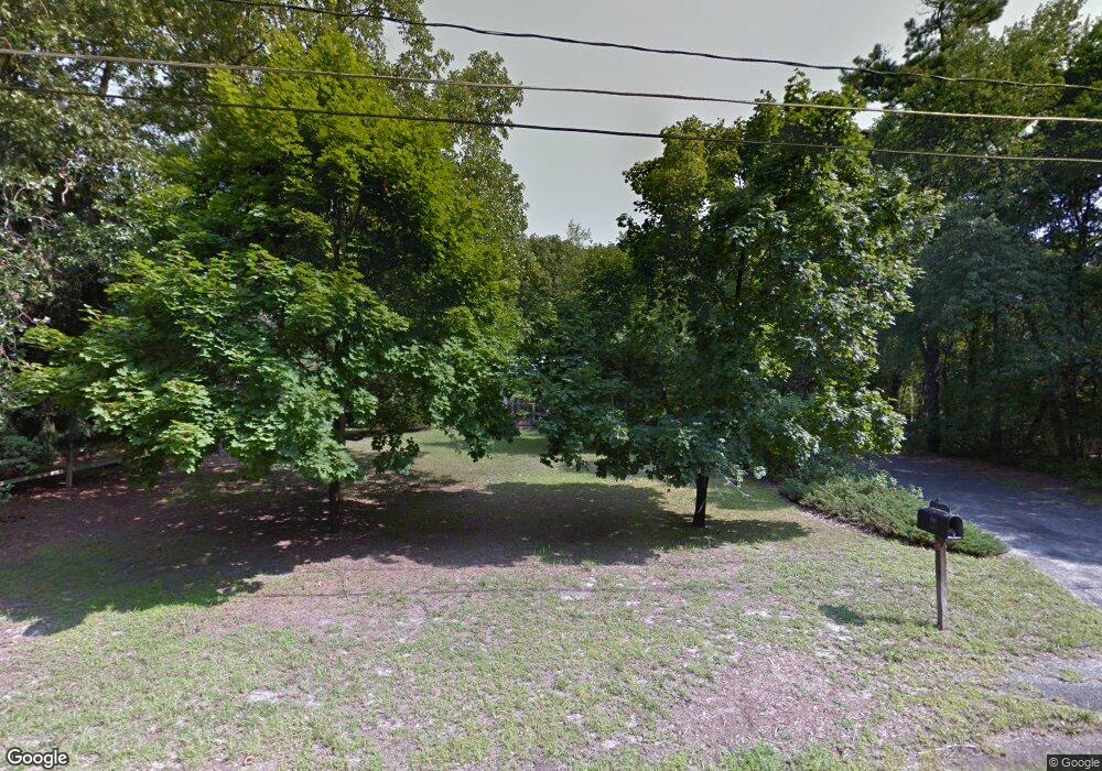
1 W Whites Bogs Rd Browns Mills, NJ 08015
Estimated Value: $295,000 - $321,755
3
Beds
2
Baths
1,250
Sq Ft
$250/Sq Ft
Est. Value
About This Home
This home is located at 1 W Whites Bogs Rd, Browns Mills, NJ 08015 and is currently estimated at $312,439, approximately $249 per square foot. 1 W Whites Bogs Rd is a home located in Burlington County.
Ownership History
Date
Name
Owned For
Owner Type
Purchase Details
Closed on
Jan 20, 2016
Sold by
Mcm Capital Partners Llc
Bought by
Raines John S
Current Estimated Value
Purchase Details
Closed on
Feb 5, 2015
Sold by
Ramey Dawn
Bought by
Mcm Capital Partners Llc
Purchase Details
Closed on
Sep 17, 2009
Sold by
Ramey Edward F
Bought by
Ramey Edward F
Home Financials for this Owner
Home Financials are based on the most recent Mortgage that was taken out on this home.
Original Mortgage
$65,000
Interest Rate
5.14%
Mortgage Type
New Conventional
Create a Home Valuation Report for This Property
The Home Valuation Report is an in-depth analysis detailing your home's value as well as a comparison with similar homes in the area
Home Values in the Area
Average Home Value in this Area
Purchase History
| Date | Buyer | Sale Price | Title Company |
|---|---|---|---|
| Raines John S | $40,000 | Linear Title & Closing Ltd | |
| Mcm Capital Partners Llc | -- | Fortune Title Agency Inc | |
| Ramey Edward F | -- | None Available |
Source: Public Records
Mortgage History
| Date | Status | Borrower | Loan Amount |
|---|---|---|---|
| Previous Owner | Ramey Edward F | $65,000 |
Source: Public Records
Tax History Compared to Growth
Tax History
| Year | Tax Paid | Tax Assessment Tax Assessment Total Assessment is a certain percentage of the fair market value that is determined by local assessors to be the total taxable value of land and additions on the property. | Land | Improvement |
|---|---|---|---|---|
| 2025 | $5,048 | $164,700 | $40,000 | $124,700 |
| 2024 | $4,737 | $164,700 | $40,000 | $124,700 |
| 2023 | $4,737 | $164,700 | $40,000 | $124,700 |
| 2022 | $4,384 | $164,700 | $40,000 | $124,700 |
| 2021 | $3,923 | $164,700 | $40,000 | $124,700 |
| 2020 | $4,047 | $164,700 | $40,000 | $124,700 |
| 2019 | $3,875 | $164,700 | $40,000 | $124,700 |
| 2018 | $3,744 | $164,700 | $40,000 | $124,700 |
| 2017 | $3,386 | $152,100 | $40,000 | $112,100 |
| 2016 | $3,233 | $86,500 | $16,000 | $70,500 |
| 2015 | $3,207 | $86,500 | $16,000 | $70,500 |
| 2014 | $3,066 | $86,500 | $16,000 | $70,500 |
Source: Public Records
Map
Nearby Homes
- 2 Kiowa Trail
- 9 Winnebago Trail
- 13 Muskogean Trail
- 22 Maricopa Trail
- 77 Sepulga Dr
- 764 Lakehurst Rd
- 406 Cherokee Dr
- 203 Seneca Trail
- 224 Cherokee Dr
- 1714 Red Feather Trail
- 0 Margaret St
- 338 Ridge Rd
- 256 Ridge Rd
- 258 Ridge Rd
- 300 Ridge Rd
- 304 Mohawk Trail
- 304 Spring Lake Blvd
- 4101 N Lakeshore Dr
- 317 Cayuga Trail
- 306 Apache Trail
- 1 W Whitesbog Rd
- 689 Lakehurst Rd
- 687 Lakehurst Rd
- 5 W Whites Bogs Rd
- 685 Lakehurst Rd
- 9 W Whites Bogs Rd
- 683 Lakehurst Rd
- 6 W Whites Bogs Rd
- 11 W Whites Bogs Rd
- 681 Lakehurst Rd
- 13 W Whitesbog Rd
- 679 Lakehurst Rd
- 15 W Whites Bogs Rd
- 675 Lakehurst Rd
- 17 W Whites Bogs Rd
- 19 W Whites Bogs Rd
- 19 W Whitesbog Rd
- 673 Lakehurst Rd
- 21 W Whites Bogs Rd
- 671 Lakehurst Rd
