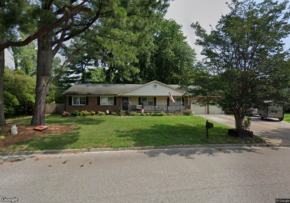
1 Wainwright Dr Poquoson, VA 23662
Poquoson West NeighborhoodEstimated Value: $386,554 - $425,000
3
Beds
2
Baths
1,894
Sq Ft
$214/Sq Ft
Est. Value
About This Home
This home is located at 1 Wainwright Dr, Poquoson, VA 23662 and is currently estimated at $406,139, approximately $214 per square foot. 1 Wainwright Dr is a home located in Poquoson City with nearby schools including Emmanuel Lutheran School, Living Word Academy, and Summit Christian Academy - Upper School.
Ownership History
Date
Name
Owned For
Owner Type
Purchase Details
Closed on
Sep 16, 2024
Sold by
Sklute Brian Gary and Sklute Rosalyn J
Bought by
Johnston Walter and Johnston Eban Hancock
Current Estimated Value
Home Financials for this Owner
Home Financials are based on the most recent Mortgage that was taken out on this home.
Original Mortgage
$302,000
Outstanding Balance
$298,618
Interest Rate
6.49%
Mortgage Type
New Conventional
Estimated Equity
$107,521
Create a Home Valuation Report for This Property
The Home Valuation Report is an in-depth analysis detailing your home's value as well as a comparison with similar homes in the area
Home Values in the Area
Average Home Value in this Area
Purchase History
| Date | Buyer | Sale Price | Title Company |
|---|---|---|---|
| Johnston Walter | $387,000 | Title Concepts |
Source: Public Records
Mortgage History
| Date | Status | Borrower | Loan Amount |
|---|---|---|---|
| Open | Johnston Walter | $302,000 |
Source: Public Records
Tax History Compared to Growth
Tax History
| Year | Tax Paid | Tax Assessment Tax Assessment Total Assessment is a certain percentage of the fair market value that is determined by local assessors to be the total taxable value of land and additions on the property. | Land | Improvement |
|---|---|---|---|---|
| 2024 | $3,510 | $307,900 | $103,800 | $204,100 |
| 2023 | $3,418 | $307,900 | $103,800 | $204,100 |
| 2022 | $3,258 | $288,300 | $103,800 | $184,500 |
| 2021 | $3,258 | $288,300 | $103,800 | $184,500 |
| 2020 | -- | $269,200 | $103,800 | $165,400 |
| 2019 | -- | $269,200 | $103,800 | $165,400 |
| 2018 | -- | $259,600 | $103,800 | $155,800 |
| 2017 | -- | $253,900 | $103,800 | $150,100 |
| 2016 | -- | $253,900 | $103,800 | $150,100 |
| 2015 | -- | $253,900 | $103,800 | $150,100 |
| 2013 | -- | $253,900 | $103,800 | $150,100 |
Source: Public Records
Map
Nearby Homes
- 38 Valasia Rd
- 45 Valasia Rd
- 718C Poquoson Ave
- 35 River Rd
- 29 River Rd
- 21 Rens Rd
- 11 Valmoore Dr
- 706 Yorktown Rd
- 1 Smith St
- 62 Rens Rd
- 40 Valmoore Dr
- Allegheny Plan at Legacy of Poquoson
- Lehigh Plan at Legacy of Poquoson
- Ballenger Plan at Legacy of Poquoson
- 8 Wornom Farm Rd
- 15+AC Browns Neck Rd
- 41 W Sandy Point Rd
- 28 Pasture Rd
- 309 Legacy Blvd
- 9 Cherokee Dr
- 3 Wainwright Dr
- 582 Wythe Creek Rd
- 2 Wainwright Dr
- 2 Valasia Rd
- 4 Wainwright Dr
- 590 Wythe Creek Rd
- 584 Wythe Creek Rd
- 584 Wythe Creek Rd
- 584 Wythe Creek Rd
- 4 Bannister Ct
- 6 Bannister Ct
- 572 Wythe Creek Rd
- 8 Bannister Ct
- 2 Bannister Ct
- MM Ella W Out Frog Trail
- MM Ashlynn W Frog Dove Point Trail
- MM Dove Point Trail
- MM Kellan Dove Point Trail
- MM Kenston II Dove Point Trail
- MM Ella Dove Point Trail