1 Waters Edge Dr Swanton, VT 05488
Estimated Value: $538,000 - $593,000
3
Beds
3
Baths
1,904
Sq Ft
$297/Sq Ft
Est. Value
About This Home
This home is located at 1 Waters Edge Dr, Swanton, VT 05488 and is currently estimated at $565,740, approximately $297 per square foot. 1 Waters Edge Dr is a home located in Franklin County with nearby schools including St. Albans Town Educational Center.
Ownership History
Date
Name
Owned For
Owner Type
Purchase Details
Closed on
May 1, 2024
Sold by
Reardon Edward and Reardon Susan M
Bought by
Reardon Family Trust Dated /24
Current Estimated Value
Purchase Details
Closed on
Apr 7, 2022
Sold by
Luke L & Tina M Boudreau Rev Trust
Bought by
Reardon Edward F and Reardon Susan M
Purchase Details
Closed on
Mar 9, 2015
Sold by
Boudreau Luke and Boudreau Tina
Bought by
Luke And Tina Boudreau Revocable Trust D and Tina
Purchase Details
Closed on
Sep 3, 2004
Sold by
Samson Robert W
Bought by
Boudreau Luke and Boudreau Tina
Create a Home Valuation Report for This Property
The Home Valuation Report is an in-depth analysis detailing your home's value as well as a comparison with similar homes in the area
Home Values in the Area
Average Home Value in this Area
Purchase History
| Date | Buyer | Sale Price | Title Company |
|---|---|---|---|
| Reardon Family Trust Dated /24 | -- | -- | |
| Reardon Family Trust Dated /24 | -- | -- | |
| Reardon Edward F | $455,000 | -- | |
| Reardon Edward F | $455,000 | -- | |
| Reardon Edward F | $455,000 | -- | |
| Luke And Tina Boudreau Revocable Trust D | -- | -- | |
| Luke And Tina Boudreau Revocable Trust D | -- | -- | |
| Boudreau Luke | $105,000 | -- |
Source: Public Records
Tax History
| Year | Tax Paid | Tax Assessment Tax Assessment Total Assessment is a certain percentage of the fair market value that is determined by local assessors to be the total taxable value of land and additions on the property. | Land | Improvement |
|---|---|---|---|---|
| 2024 | -- | $371,800 | $120,200 | $251,600 |
| 2023 | -- | $371,800 | $120,200 | $251,600 |
| 2022 | $7,302 | $371,800 | $120,200 | $251,600 |
| 2021 | $7,350 | $371,800 | $120,200 | $251,600 |
| 2020 | $6,821 | $371,800 | $120,200 | $251,600 |
| 2019 | $6,575 | $371,800 | $120,200 | $251,600 |
| 2018 | $9,346 | $371,800 | $120,200 | $251,600 |
| 2017 | $6,264 | $371,800 | $120,200 | $251,600 |
| 2016 | $6,533 | $371,800 | $120,200 | $251,600 |
| 2015 | -- | $3,718 | $0 | $0 |
| 2014 | -- | $3,718 | $0 | $0 |
| 2013 | -- | $3,718 | $0 | $0 |
Source: Public Records
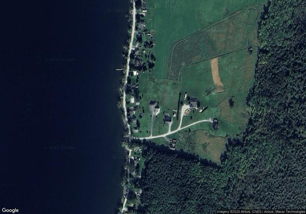
Map
Nearby Homes
- 1001 Samson Rd
- 67 Montagne Rd
- 570 Lapan Rd
- 1 Hathaway Shore Estates
- 91 Hathaway Inn Dr
- Lot 20 Rocky Shore Farm Rd
- Lot 23 Rocky Shore Farm Rd
- 4300 Butler Island W
- 4542 Maquam Shore Rd
- 102 Mcginn Dr
- 2159 Hathaway Point Rd
- 102 E Shore Dr
- 126 Georgia Shore Rd
- 0 Caroline's Way Unit 4
- 0 Caroline's Way Unit 5077417
- 26 Pike Dr
- 32 Church Rd
- 4131 Lower Newton Rd
- 499 Lake Rd
- 497 Lake Rd
- 3 Waters Edge Dr
- 1113 Samson Rd
- 1089 Samson Rd
- 1129 Samson Rd
- 2 Waters Edge
- 1039 Samson Rd
- 5 Waters Edge Dr
- 2 Waters Edge Dr
- 1025 Samson Rd
- 1025 Samson Rd
- 4 Waters Edge Dr
- 959 Samson Rd
- 917 Samson Rd
- 851 Samson Rd
- 1245 Samson Rd
- 829 Samson Rd
- 226 Shantee Point Rd
- 1263 Samson Rd
- 801 Samson Rd
- 1367 Samson Rd
Your Personal Tour Guide
Ask me questions while you tour the home.