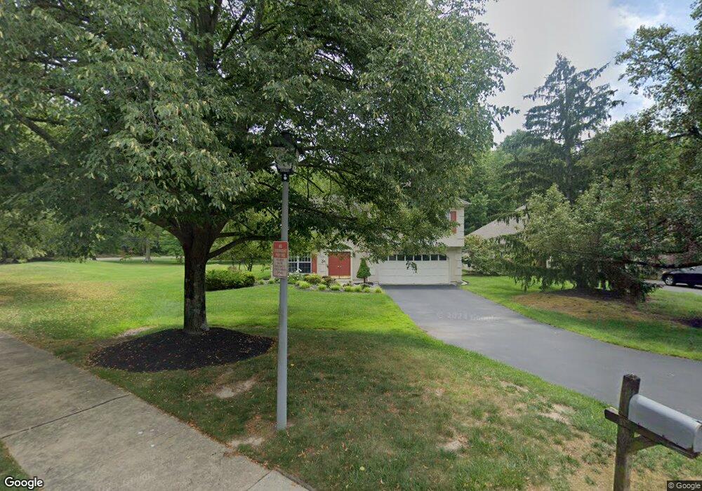
1 Westwinds Dr Princeton Junction, NJ 08550
Estimated Value: $763,000 - $1,019,000
--
Bed
--
Bath
2,359
Sq Ft
$377/Sq Ft
Est. Value
About This Home
This home is located at 1 Westwinds Dr, Princeton Junction, NJ 08550 and is currently estimated at $888,854, approximately $376 per square foot. 1 Westwinds Dr is a home located in Mercer County with nearby schools including Maurice Hawk Elementary School, Village Elementary School, and Thomas R. Grover Middle School.
Ownership History
Date
Name
Owned For
Owner Type
Purchase Details
Closed on
Aug 21, 1998
Sold by
Moon Edward
Bought by
Cheung Clement and Cheung Angela
Current Estimated Value
Home Financials for this Owner
Home Financials are based on the most recent Mortgage that was taken out on this home.
Original Mortgage
$120,000
Outstanding Balance
$25,034
Interest Rate
6.92%
Estimated Equity
$863,820
Purchase Details
Closed on
Apr 30, 1993
Sold by
Westwinds At Princeton Junction
Bought by
Moon Edward K
Create a Home Valuation Report for This Property
The Home Valuation Report is an in-depth analysis detailing your home's value as well as a comparison with similar homes in the area
Home Values in the Area
Average Home Value in this Area
Purchase History
| Date | Buyer | Sale Price | Title Company |
|---|---|---|---|
| Cheung Clement | $235,000 | -- | |
| Moon Edward K | $227,000 | -- |
Source: Public Records
Mortgage History
| Date | Status | Borrower | Loan Amount |
|---|---|---|---|
| Open | Cheung Clement | $120,000 |
Source: Public Records
Tax History Compared to Growth
Tax History
| Year | Tax Paid | Tax Assessment Tax Assessment Total Assessment is a certain percentage of the fair market value that is determined by local assessors to be the total taxable value of land and additions on the property. | Land | Improvement |
|---|---|---|---|---|
| 2025 | $13,229 | $431,600 | $143,600 | $288,000 |
| 2024 | $12,676 | $431,600 | $143,600 | $288,000 |
| 2023 | $12,676 | $431,600 | $143,600 | $288,000 |
| 2022 | $12,430 | $431,600 | $143,600 | $288,000 |
| 2021 | $12,327 | $431,600 | $143,600 | $288,000 |
| 2020 | $12,102 | $431,600 | $143,600 | $288,000 |
| 2019 | $11,964 | $431,600 | $143,600 | $288,000 |
| 2018 | $11,852 | $431,600 | $143,600 | $288,000 |
| 2017 | $11,606 | $431,600 | $143,600 | $288,000 |
| 2016 | $11,355 | $431,600 | $143,600 | $288,000 |
| 2015 | $11,092 | $431,600 | $143,600 | $288,000 |
| 2014 | $10,963 | $431,600 | $143,600 | $288,000 |
Source: Public Records
Map
Nearby Homes
- 3 Westwinds Dr
- 5 Westwinds Dr
- 2 Westwinds Dr
- 7 Westwinds Dr
- 4 Westwinds Dr
- 9 Westwinds Dr
- 6 Westwinds Dr
- 11 Westwinds Dr
- 2 Wright Place
- 2 Grovers Ct
- 4 Grovers Ct
- 15 Westwinds Dr
- 4 Wright Place
- 1 Wright Place
- 3 Wright Place
- 6 Wright Place
- 17 Westwinds Dr
- 91 Penn Lyle Rd
- 64 Penn Lyle Rd
- 71 Penn Lyle Rd