1 Wharfs Quarry Rd Vinalhaven, ME 04863
Estimated Value: $363,273 - $1,891,000
--
Bed
--
Bath
--
Sq Ft
5.8
Acres
About This Home
This home is located at 1 Wharfs Quarry Rd, Vinalhaven, ME 04863 and is currently estimated at $920,091. 1 Wharfs Quarry Rd is a home with nearby schools including Vinalhaven School.
Ownership History
Date
Name
Owned For
Owner Type
Purchase Details
Closed on
Mar 10, 2025
Sold by
Creelman Andrew B
Bought by
Creelman Erin A
Current Estimated Value
Home Financials for this Owner
Home Financials are based on the most recent Mortgage that was taken out on this home.
Original Mortgage
$50,000
Outstanding Balance
$49,662
Interest Rate
6.95%
Mortgage Type
Second Mortgage Made To Cover Down Payment
Estimated Equity
$870,429
Create a Home Valuation Report for This Property
The Home Valuation Report is an in-depth analysis detailing your home's value as well as a comparison with similar homes in the area
Home Values in the Area
Average Home Value in this Area
Purchase History
| Date | Buyer | Sale Price | Title Company |
|---|---|---|---|
| Creelman Erin A | -- | None Available | |
| Creelman Erin A | -- | None Available | |
| Creelman Erin A | -- | None Available |
Source: Public Records
Mortgage History
| Date | Status | Borrower | Loan Amount |
|---|---|---|---|
| Open | Creelman Erin A | $50,000 | |
| Closed | Creelman Erin A | $50,000 |
Source: Public Records
Tax History Compared to Growth
Tax History
| Year | Tax Paid | Tax Assessment Tax Assessment Total Assessment is a certain percentage of the fair market value that is determined by local assessors to be the total taxable value of land and additions on the property. | Land | Improvement |
|---|---|---|---|---|
| 2025 | $4,054 | $302,500 | $68,300 | $234,200 |
| 2024 | $3,902 | $302,500 | $68,300 | $234,200 |
| 2023 | $3,721 | $302,500 | $68,300 | $234,200 |
| 2022 | $3,542 | $302,500 | $68,300 | $234,200 |
| 2021 | $3,810 | $277,500 | $45,900 | $231,600 |
| 2020 | $3,698 | $271,300 | $41,400 | $229,900 |
| 2019 | $3,492 | $271,300 | $41,400 | $229,900 |
| 2018 | $3,329 | $271,300 | $41,400 | $229,900 |
| 2017 | $3,096 | $271,300 | $41,400 | $229,900 |
| 2016 | $3,119 | $275,500 | $41,400 | $234,100 |
| 2015 | $2,723 | $268,000 | $41,400 | $226,600 |
| 2014 | $2,667 | $268,000 | $41,400 | $226,600 |
Source: Public Records
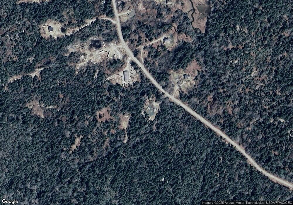
Map
Nearby Homes
- 006-60 Round the Island Rd
- TBD Burying Island
- 00 Tolman Rd
- 32 High St
- 0A Old Harbor Rd
- 24 Old Harbor Rd
- 7 Mountain St
- 62 W Main St
- 64 Main St
- 38 W Main St Unit 1
- 26 W Main St
- 15 Main St
- 90 Greens Island
- 27 Clam Shell Aly
- 111 E Main St
- 46 Atlantic Ave
- 50 E Boston Rd
- 14 Kingsbury Point
- 0 Lenas Ln
- 129 E East Boston Rd
- 667 N Haven Rd
- 687 N Haven Rd
- 006-042H N Haven Rd
- 09/ 21 N Haven Rd
- 769 N Haven Rd
- 701 N Haven Rd
- 14 Sportsmans Way
- 10 Sportsman Way
- 714 N Haven Rd
- 4 Sportsmans Way
- 727 N Haven Rd
- 730 N Haven Rd
- 731 N Haven Rd
- 732 N Haven Rd
- 6 Ambergris Rd
- 735 N Haven Rd
- 737 N Haven Rd
- 750 N Haven Rd
- 748 N Haven Rd
- 0 N Haven Rd