1 Widows Cove Ln Wareham, MA 02571
Estimated Value: $1,332,000 - $1,469,299
3
Beds
3
Baths
3,520
Sq Ft
$404/Sq Ft
Est. Value
About This Home
This home is located at 1 Widows Cove Ln, Wareham, MA 02571 and is currently estimated at $1,423,075, approximately $404 per square foot. 1 Widows Cove Ln is a home located in Plymouth County.
Ownership History
Date
Name
Owned For
Owner Type
Purchase Details
Closed on
Aug 31, 1990
Sold by
Rockland T Co
Bought by
Kelly Lee A
Current Estimated Value
Home Financials for this Owner
Home Financials are based on the most recent Mortgage that was taken out on this home.
Original Mortgage
$242,000
Interest Rate
9.85%
Mortgage Type
Purchase Money Mortgage
Create a Home Valuation Report for This Property
The Home Valuation Report is an in-depth analysis detailing your home's value as well as a comparison with similar homes in the area
Home Values in the Area
Average Home Value in this Area
Purchase History
| Date | Buyer | Sale Price | Title Company |
|---|---|---|---|
| Kelly Lee A | $342,000 | -- | |
| Kelly Lee A | $342,000 | -- |
Source: Public Records
Mortgage History
| Date | Status | Borrower | Loan Amount |
|---|---|---|---|
| Closed | Kelly Lee A | $242,000 | |
| Previous Owner | Kelly Lee A | $400,000 |
Source: Public Records
Tax History Compared to Growth
Tax History
| Year | Tax Paid | Tax Assessment Tax Assessment Total Assessment is a certain percentage of the fair market value that is determined by local assessors to be the total taxable value of land and additions on the property. | Land | Improvement |
|---|---|---|---|---|
| 2025 | $13,150 | $1,262,000 | $569,400 | $692,600 |
| 2024 | $11,942 | $1,063,400 | $428,200 | $635,200 |
| 2023 | $10,959 | $954,000 | $390,400 | $563,600 |
| 2022 | $10,959 | $831,500 | $373,400 | $458,100 |
| 2021 | $10,895 | $810,000 | $373,400 | $436,600 |
| 2020 | $10,361 | $781,400 | $373,400 | $408,000 |
| 2019 | $9,853 | $741,400 | $377,000 | $364,400 |
| 2018 | $9,645 | $707,600 | $377,000 | $330,600 |
| 2017 | $9,402 | $699,000 | $377,000 | $322,000 |
| 2016 | $8,887 | $656,800 | $377,000 | $279,800 |
| 2015 | $10,226 | $782,400 | $502,600 | $279,800 |
| 2014 | $10,302 | $801,700 | $464,600 | $337,100 |
Source: Public Records
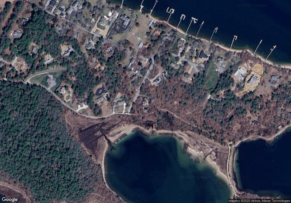
Map
Nearby Homes
- 46 Winship Ave
- 200 Great Neck Rd
- 45 Kins Ct
- 46 Kins Ct
- 14 Over Jordan Rd
- 8 Over Jordan Rd
- 38 Amos Way
- 17 Carleton St Unit 17
- 12 Grove St
- 10 Over Jordan Rd
- 6 Beacon St Unit 79
- 52 Starboard Dr Unit 36H
- 8 Beacon St Unit 80
- 10 Beacon St Unit 83
- 9 10th St
- 17 5th St
- 35 Locust St
- 35 Locust St
- 26 Highland Ave
- 12 Beacon St Unit 84
- 64 Burgess Point Rd
- 64 Burgess Point Road (Private)
- 13 Widows Cove Ln
- 5 Widows Cove Ln
- 4 Widows Cove Ln
- 4 Widow's Cove Ln
- 53 Winship Ave
- 9 Widows Cove Ln
- 9 Boat House Dr
- 56 Burgess Point Rd
- 11 Boat House Dr
- 8 Widows Cove Ln
- 10 Widows Cove Ln
- 12 Widows Cove Ln
- 12 Widow's Cove Ln
- 5 Boat House Dr
- 14 Widows Cove Ln
- 8 Boat House Dr
- 55 Burgess Point Rd
- 16 Widows Cove Ln