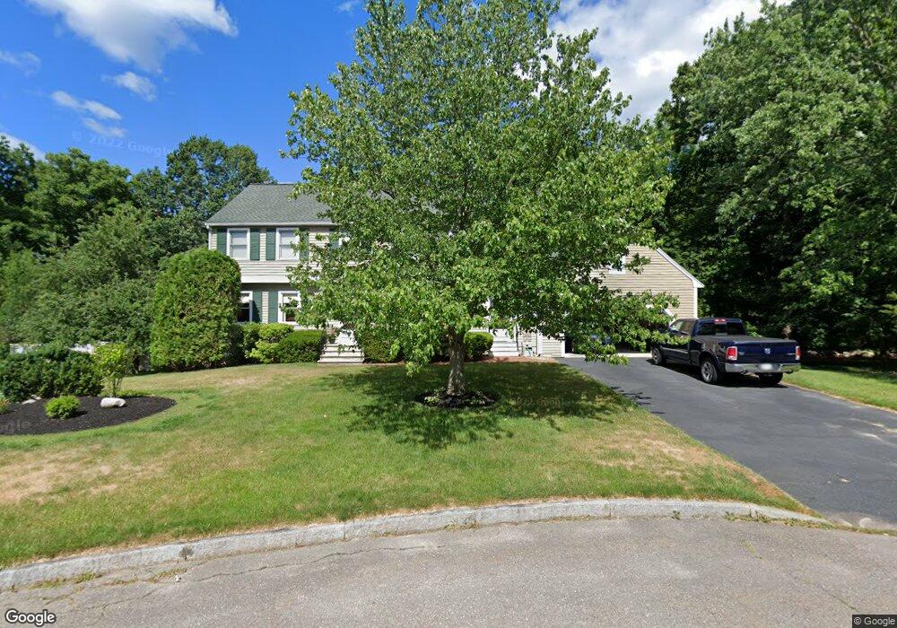
1 Wight Farm Rd Natick, MA 01760
Estimated Value: $1,294,000 - $1,479,000
4
Beds
4
Baths
2,438
Sq Ft
$571/Sq Ft
Est. Value
About This Home
This home is located at 1 Wight Farm Rd, Natick, MA 01760 and is currently estimated at $1,392,071, approximately $570 per square foot. 1 Wight Farm Rd is a home located in Middlesex County with nearby schools including Natick High School, Wilson Middle School, and Bennett-Hemenway (Ben-Hem) Elementary School.
Ownership History
Date
Name
Owned For
Owner Type
Purchase Details
Closed on
Sep 11, 2019
Sold by
Thurston Kevin P and Thurston Marlene K
Bought by
Kevin P Thurston 2019 T
Current Estimated Value
Purchase Details
Closed on
May 25, 1988
Sold by
Wight Farm Rt
Bought by
Thurston Kevin P
Home Financials for this Owner
Home Financials are based on the most recent Mortgage that was taken out on this home.
Original Mortgage
$185,000
Interest Rate
10.18%
Mortgage Type
Purchase Money Mortgage
Create a Home Valuation Report for This Property
The Home Valuation Report is an in-depth analysis detailing your home's value as well as a comparison with similar homes in the area
Home Values in the Area
Average Home Value in this Area
Purchase History
| Date | Buyer | Sale Price | Title Company |
|---|---|---|---|
| Kevin P Thurston 2019 T | -- | -- | |
| Thurston Kevin P | $320,000 | -- |
Source: Public Records
Mortgage History
| Date | Status | Borrower | Loan Amount |
|---|---|---|---|
| Previous Owner | Thurston Kevin P | $182,700 | |
| Previous Owner | Thurston Kevin P | $22,000 | |
| Previous Owner | Thurston Kevin P | $185,000 |
Source: Public Records
Tax History Compared to Growth
Tax History
| Year | Tax Paid | Tax Assessment Tax Assessment Total Assessment is a certain percentage of the fair market value that is determined by local assessors to be the total taxable value of land and additions on the property. | Land | Improvement |
|---|---|---|---|---|
| 2025 | $14,515 | $1,213,600 | $501,800 | $711,800 |
| 2024 | $14,059 | $1,146,700 | $475,300 | $671,400 |
| 2023 | $13,018 | $1,029,900 | $441,300 | $588,600 |
| 2022 | $12,605 | $944,900 | $397,100 | $547,800 |
| 2021 | $12,267 | $901,300 | $391,900 | $509,400 |
| 2020 | $12,053 | $885,600 | $376,200 | $509,400 |
| 2019 | $11,256 | $885,600 | $376,200 | $509,400 |
| 2018 | $11,107 | $851,100 | $363,200 | $487,900 |
| 2017 | $11,348 | $841,200 | $362,500 | $478,700 |
| 2016 | $11,362 | $837,300 | $362,500 | $474,800 |
| 2015 | $11,020 | $797,400 | $362,500 | $434,900 |
Source: Public Records
Map
Nearby Homes
- 3 Wight Farm Rd
- 2 Wight Farm Rd
- 4 Wight Farm Rd
- 5 Wight Farm Rd
- 3 Meetinghouse Ln
- 223 Bacon St
- 7 Wight Farm Rd
- 227 Bacon St
- 221 Bacon St
- 215 Bacon St
- 1 Meetinghouse Ln
- 17 Hawthorne St
- 4 Meetinghouse Ln
- 9 Wight Farm Rd
- 2 Meetinghouse Ln
- 217 Bacon St
- 216 Bacon St
- 15 Hawthorne St
- 224 Bacon St
- 214 Bacon St