1 Wilson Ln Plymouth, MA 02360
Estimated Value: $441,000 - $542,000
2
Beds
1
Bath
960
Sq Ft
$530/Sq Ft
Est. Value
About This Home
This home is located at 1 Wilson Ln, Plymouth, MA 02360 and is currently estimated at $508,349, approximately $529 per square foot. 1 Wilson Ln is a home located in Plymouth County with nearby schools including Manomet Elementary School, Plymouth Community Intermediate, and Plymouth North High School.
Ownership History
Date
Name
Owned For
Owner Type
Purchase Details
Closed on
Mar 1, 1995
Sold by
Heres William R
Bought by
Johnson Stephen R and Sewell Diana J
Current Estimated Value
Purchase Details
Closed on
Aug 18, 1994
Sold by
Lenders Mass Inc
Bought by
Heres William R
Purchase Details
Closed on
Mar 25, 1994
Sold by
Hall William E and Heres Mary C
Bought by
Lenders Mass Inc
Create a Home Valuation Report for This Property
The Home Valuation Report is an in-depth analysis detailing your home's value as well as a comparison with similar homes in the area
Home Values in the Area
Average Home Value in this Area
Purchase History
| Date | Buyer | Sale Price | Title Company |
|---|---|---|---|
| Johnson Stephen R | $100,000 | -- | |
| Heres William R | $80,000 | -- | |
| Lenders Mass Inc | $59,500 | -- |
Source: Public Records
Mortgage History
| Date | Status | Borrower | Loan Amount |
|---|---|---|---|
| Open | Lenders Mass Inc | $175,000 | |
| Closed | Lenders Mass Inc | $150,000 | |
| Closed | Lenders Mass Inc | $34,000 |
Source: Public Records
Tax History Compared to Growth
Tax History
| Year | Tax Paid | Tax Assessment Tax Assessment Total Assessment is a certain percentage of the fair market value that is determined by local assessors to be the total taxable value of land and additions on the property. | Land | Improvement |
|---|---|---|---|---|
| 2025 | $5,719 | $450,700 | $243,000 | $207,700 |
| 2024 | $5,414 | $420,700 | $224,000 | $196,700 |
| 2023 | $5,319 | $388,000 | $204,000 | $184,000 |
| 2022 | $5,323 | $345,000 | $191,400 | $153,600 |
| 2021 | $5,270 | $326,100 | $191,400 | $134,700 |
| 2020 | $5,055 | $309,200 | $176,400 | $132,800 |
| 2019 | $4,883 | $295,200 | $166,400 | $128,800 |
| 2018 | $4,665 | $283,400 | $156,400 | $127,000 |
| 2017 | $4,553 | $274,600 | $156,400 | $118,200 |
| 2016 | $4,312 | $265,000 | $146,400 | $118,600 |
| 2015 | $4,047 | $260,400 | $141,400 | $119,000 |
| 2014 | $3,894 | $257,400 | $141,400 | $116,000 |
Source: Public Records
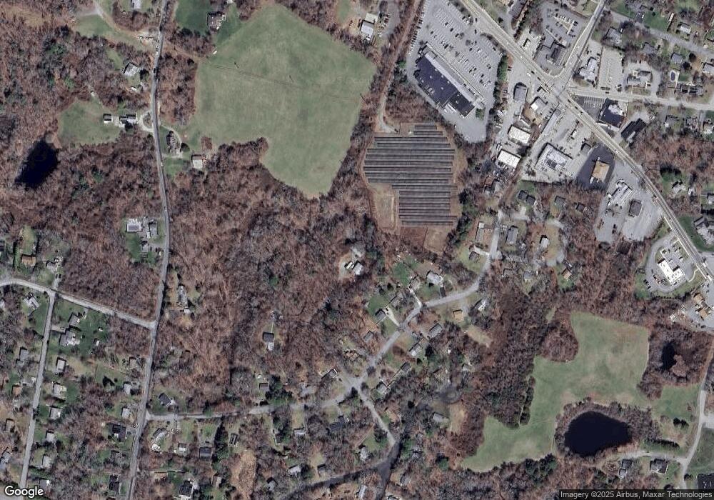
Map
Nearby Homes
- 84 Bartlett Rd
- 3 Clearwater Dr
- 90 Bartlett Rd
- 54 Manomet Point Rd
- 38 Hawley Ave
- 38 Hawley Ave Unit 38
- 32 Ray Rd
- 158 Bartlett Rd
- 65 Hilltop Ave
- 59 Hilltop Ave
- 14 O'Toole Rd Unit 14
- 18 Beach St
- 4 Old Field Rd Unit 4
- 4 Old Field Rd
- 17 Fresh Pond Cir
- 24 Highland Terrace Unit 2415
- 4 Highland Terrace Unit 403
- 52 Taylor Ave
- 2 Tideview Path Unit 4
- 30 Highland Terrace Unit 3007
- 42 Presidents Ln
- 46 Presidents Ln
- 38 Presidents Ln
- 50 Presidents Ln
- 50 President's Ln
- 34 Presidents Ln
- 701 State Rd
- 30 Presidents Ln
- 43 Presidents Ln
- 54 Presidents Ln
- 37 Presidents Ln
- 26 Presidents Ln
- 33 Presidents Ln
- 47 Presidents Ln
- 60 Presidents Ln
- 27 Presidents Ln
- 51 Presidents Ln
- 16 Eisenhower Way
- 18 Presidents Ln
- 3 Beacon St