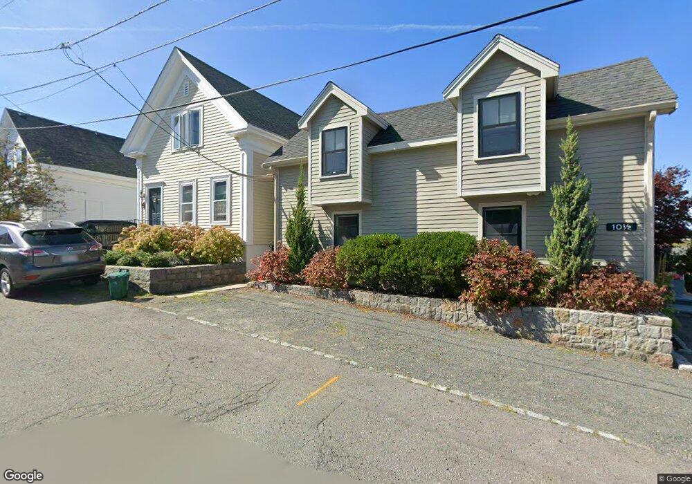
10 1/2 Clarendon St Gloucester, MA 01930
East Gloucester NeighborhoodEstimated Value: $1,324,000 - $1,655,000
3
Beds
2
Baths
2,335
Sq Ft
$639/Sq Ft
Est. Value
About This Home
This home is located at 10 1/2 Clarendon St, Gloucester, MA 01930 and is currently estimated at $1,491,939, approximately $638 per square foot. 10 1/2 Clarendon St is a home with nearby schools including East Gloucester Elementary School, Ralph B O'maley Middle School, and Gloucester High School.
Ownership History
Date
Name
Owned For
Owner Type
Purchase Details
Closed on
Dec 27, 2019
Sold by
Gold Richard and Gold Rosalyn
Bought by
Richard & Rosalyn Gold Ret
Current Estimated Value
Purchase Details
Closed on
Nov 30, 2017
Sold by
Johnson Susan D
Bought by
Gold Richard and Gold Rosalyn
Home Financials for this Owner
Home Financials are based on the most recent Mortgage that was taken out on this home.
Original Mortgage
$400,000
Interest Rate
3.88%
Mortgage Type
New Conventional
Purchase Details
Closed on
Apr 30, 1997
Sold by
Farrell Stanton Est
Bought by
Johnson Laco M and Johnson Susan D
Create a Home Valuation Report for This Property
The Home Valuation Report is an in-depth analysis detailing your home's value as well as a comparison with similar homes in the area
Home Values in the Area
Average Home Value in this Area
Purchase History
| Date | Buyer | Sale Price | Title Company |
|---|---|---|---|
| Richard & Rosalyn Gold Ret | -- | None Available | |
| Gold Richard | $680,000 | -- | |
| Johnson Laco M | $192,000 | -- |
Source: Public Records
Mortgage History
| Date | Status | Borrower | Loan Amount |
|---|---|---|---|
| Previous Owner | Gold Richard | $400,000 | |
| Previous Owner | Johnson Laco M | $220,000 | |
| Previous Owner | Johnson Laco M | $12,000 | |
| Previous Owner | Johnson Laco M | $205,000 |
Source: Public Records
Tax History Compared to Growth
Tax History
| Year | Tax Paid | Tax Assessment Tax Assessment Total Assessment is a certain percentage of the fair market value that is determined by local assessors to be the total taxable value of land and additions on the property. | Land | Improvement |
|---|---|---|---|---|
| 2025 | $13,068 | $1,344,400 | $642,600 | $701,800 |
| 2024 | $12,784 | $1,313,900 | $612,100 | $701,800 |
| 2023 | $12,022 | $1,135,200 | $522,200 | $613,000 |
| 2022 | $11,626 | $991,100 | $454,300 | $536,800 |
| 2021 | $11,215 | $901,500 | $412,900 | $488,600 |
| 2020 | $8,160 | $661,800 | $412,900 | $248,900 |
| 2019 | $6,958 | $548,300 | $393,700 | $154,600 |
| 2018 | $7,127 | $551,200 | $384,100 | $167,100 |
| 2017 | $6,917 | $524,400 | $365,900 | $158,500 |
| 2016 | $6,672 | $490,200 | $349,900 | $140,300 |
| 2015 | $6,439 | $471,700 | $342,000 | $129,700 |
Source: Public Records
Map
Nearby Homes
- 73 Rocky Neck Ave Unit 2
- 60 Rocky Neck Ave Unit 202
- 1 Wonson St
- 7 Rackliffe St Unit 1
- 197 E Main St
- 197 E Main St Unit 1
- 197 E Main St Unit 2
- 197 E Main St Unit 1 & 2
- 191 Main St Unit 2B
- 191 Main St Unit 3
- 191 Main St Unit 2A
- 7 Hawthorne Ln
- 90 Middle St Unit L
- 35 Middle St Unit 4
- 33 Middle St
- 30 Chapel St Unit B
- 4 Hillside Rd
- 160 Prospect St Unit 3
- 100 E Main St
- 97 E Main St