10 10 Nw Cedar Point Elysian, MN 56028
Estimated Value: $769,000 - $1,108,000
2
Beds
2
Baths
3,104
Sq Ft
$319/Sq Ft
Est. Value
About This Home
This home is located at 10 10 Nw Cedar Point, Elysian, MN 56028 and is currently estimated at $988,732, approximately $318 per square foot. 10 10 Nw Cedar Point is a home located in Le Sueur County with nearby schools including Waterville Elementary School, Morristown Elementary School, and Waterville-Elysian-Morristown Junior High School.
Ownership History
Date
Name
Owned For
Owner Type
Purchase Details
Closed on
Feb 28, 2017
Sold by
4M Properties Llc
Bought by
Sarver Jason D and Meyer Shelby J
Current Estimated Value
Home Financials for this Owner
Home Financials are based on the most recent Mortgage that was taken out on this home.
Original Mortgage
$400,000
Outstanding Balance
$331,240
Interest Rate
4.12%
Mortgage Type
New Conventional
Estimated Equity
$657,492
Create a Home Valuation Report for This Property
The Home Valuation Report is an in-depth analysis detailing your home's value as well as a comparison with similar homes in the area
Purchase History
| Date | Buyer | Sale Price | Title Company |
|---|---|---|---|
| Sarver Jason D | $500,000 | -- |
Source: Public Records
Mortgage History
| Date | Status | Borrower | Loan Amount |
|---|---|---|---|
| Open | Sarver Jason D | $400,000 |
Source: Public Records
Tax History
| Year | Tax Paid | Tax Assessment Tax Assessment Total Assessment is a certain percentage of the fair market value that is determined by local assessors to be the total taxable value of land and additions on the property. | Land | Improvement |
|---|---|---|---|---|
| 2025 | $13,216 | $921,300 | $514,300 | $407,000 |
| 2024 | $12,256 | $872,900 | $501,100 | $371,800 |
| 2023 | $11,056 | $847,400 | $489,100 | $358,300 |
| 2022 | $11,302 | $758,900 | $406,000 | $352,900 |
| 2021 | $11,144 | $674,200 | $406,000 | $268,200 |
| 2020 | $11,016 | $646,700 | $396,600 | $250,100 |
| 2019 | $11,866 | $638,100 | $396,600 | $241,500 |
| 2018 | $10,204 | $583,500 | $359,200 | $224,300 |
| 2017 | $8,631 | $563,400 | $384,199 | $179,201 |
| 2016 | $9,500 | $545,800 | $370,000 | $175,800 |
| 2015 | $7,620 | $554,000 | $370,000 | $184,000 |
| 2014 | $7,209 | $549,000 | $364,999 | $184,001 |
| 2013 | $6,562 | $501,600 | $339,000 | $162,600 |
Source: Public Records
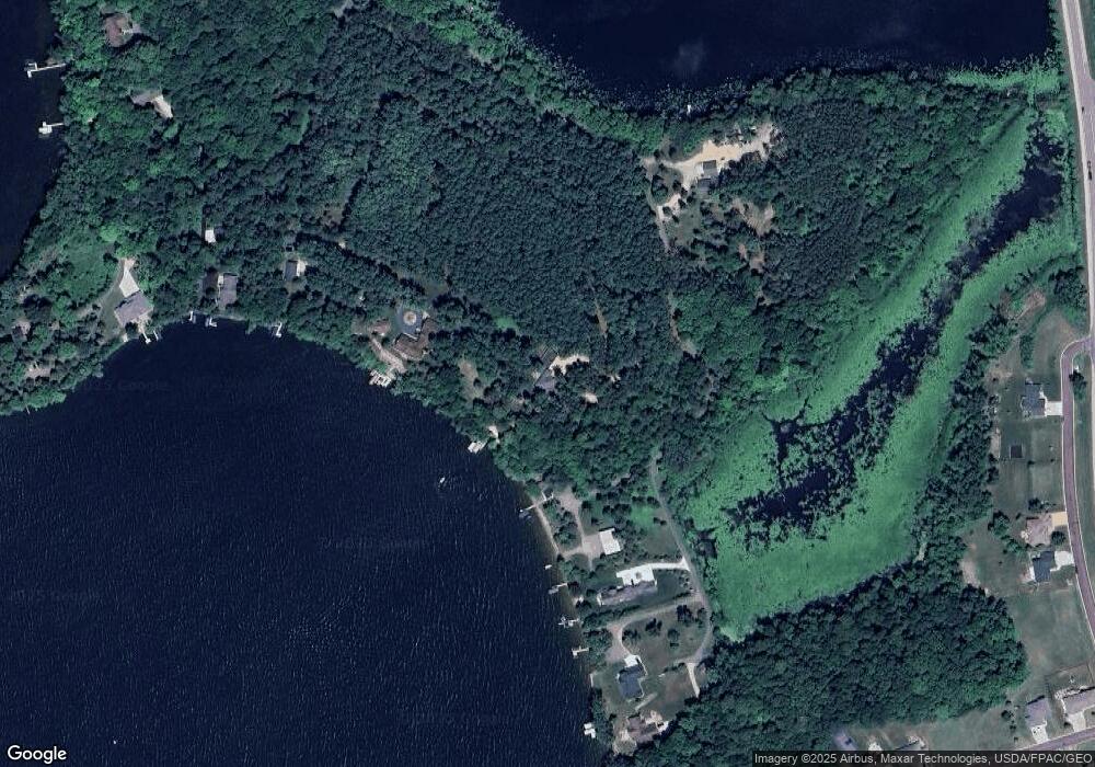
Map
Nearby Homes
- 11 Cedar Point Dr NW
- 2 Marie Cir
- 125 Willow Point Dr
- 121 Willow Point Dr
- 101 Shoreview Dr
- 13 Egret Ln
- 0 Xx Lewis Ln Unit 7025397
- 0 Xx Lewis Ln Unit 7025381
- xx Lewis Ln
- 0 SW Maple Ave
- xxxxxx Lewis Ln
- 220 SW Maple Ave
- -XX Jason Dr
- 14 Silver's Resort
- 49279 Sportsmans Ln
- 49189 Sportsmans Ln
- 49097 Sportsmans Ln
- 48901 N Shore Rd
- 0 N Shore Rd
- 48937 N Shore Rd
- 10 Cedar Point Ln
- 10 10 Nw Cedar Pointe Ln
- 235 Po Box
- 64 Po Box
- 0 Tbd Ne Frank Ave Unit 7029331
- 9 Cedar Point Ln NW
- 11 11 Nw Cedar Point Ln
- 11 Cedar Point Ln
- 8 Cedar Point Ln
- 13 Cedar Point Ln NW
- 14 Cedar Point Ln NW
- 7 Cedar Point Dr NW
- 15 Cedar Point Ln NW
- 169 Shoreview Dr
- 2 Cedar Point Dr
- 2 Cedar Point Dr NW
- 167 Shoreview Dr
- 165 Shoreview Dr
- 171 Shoreview Dr
- Unit #2 Kaplans Cedar Pointe
Your Personal Tour Guide
Ask me questions while you tour the home.