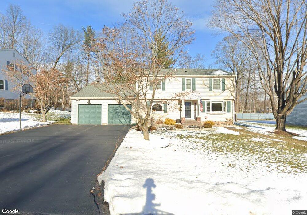
10 Adams Ln West Hartford, CT 06117
Estimated Value: $616,000 - $637,000
4
Beds
3
Baths
2,106
Sq Ft
$297/Sq Ft
Est. Value
About This Home
This home is located at 10 Adams Ln, West Hartford, CT 06117 and is currently estimated at $626,040, approximately $297 per square foot. 10 Adams Ln is a home located in Hartford County with nearby schools including Aiken School, King Philip Middle School, and Hall High School.
Ownership History
Date
Name
Owned For
Owner Type
Purchase Details
Closed on
May 29, 2002
Sold by
Arhin Akwasi and Arhin Vilma V
Bought by
Berman Larry S and Berman Desrosiers-Berman J
Current Estimated Value
Purchase Details
Closed on
Jun 8, 1998
Sold by
Levine Michael G and Levine Melissa A P
Bought by
Arhin Akwasi and Arhin Arhin
Purchase Details
Closed on
Nov 17, 1997
Sold by
Torres Samuel and Torres Juana
Bought by
Nucifora Joseph and Nucifora Lucy
Purchase Details
Closed on
Sep 4, 1996
Sold by
Harlow Steven A and Harlow Robin P
Bought by
Darrew Robert H
Purchase Details
Closed on
Jul 26, 1996
Sold by
Brian Inv Prop
Bought by
Bergamini Fred and Engdahl Tracy
Purchase Details
Closed on
Jun 13, 1995
Sold by
Greenberg Naomi
Bought by
Levine Michael and Levine Melissa
Create a Home Valuation Report for This Property
The Home Valuation Report is an in-depth analysis detailing your home's value as well as a comparison with similar homes in the area
Home Values in the Area
Average Home Value in this Area
Purchase History
| Date | Buyer | Sale Price | Title Company |
|---|---|---|---|
| Berman Larry S | $275,000 | -- | |
| Arhin Akwasi | $189,000 | -- | |
| Nucifora Joseph | $135,000 | -- | |
| Darrew Robert H | $39,000 | -- | |
| Bergamini Fred | $143,500 | -- | |
| Levine Michael | $188,000 | -- |
Source: Public Records
Mortgage History
| Date | Status | Borrower | Loan Amount |
|---|---|---|---|
| Open | Levine Michael | $44,892 | |
| Closed | Levine Michael | $96,660 |
Source: Public Records
Tax History Compared to Growth
Tax History
| Year | Tax Paid | Tax Assessment Tax Assessment Total Assessment is a certain percentage of the fair market value that is determined by local assessors to be the total taxable value of land and additions on the property. | Land | Improvement |
|---|---|---|---|---|
| 2025 | $12,549 | $280,230 | $86,400 | $193,830 |
| 2024 | $11,868 | $280,230 | $86,400 | $193,830 |
| 2023 | $11,467 | $280,230 | $86,400 | $193,830 |
| 2022 | $11,400 | $280,230 | $86,400 | $193,830 |
| 2021 | $10,022 | $236,250 | $75,500 | $160,750 |
| 2020 | $9,875 | $236,250 | $75,500 | $160,750 |
| 2019 | $9,875 | $236,250 | $75,460 | $160,790 |
| 2018 | $9,686 | $236,250 | $75,460 | $160,790 |
| 2017 | $9,696 | $236,250 | $75,460 | $160,790 |
| 2016 | $9,583 | $242,550 | $64,190 | $178,360 |
| 2015 | $9,292 | $242,550 | $64,190 | $178,360 |
| 2014 | $9,064 | $242,550 | $64,190 | $178,360 |
Source: Public Records
Map
Nearby Homes
- 5 Northmoor Rd
- 320 N Steele Rd
- 111 Bloomfield Ave
- 243 Terry Rd
- 165 Bloomfield Ave
- 3 Trumbull Ln
- 175 Scarborough St
- 7 Sequin Rd
- 80 Terry Rd
- 11 Lawler Rd
- 302 Quaker Ln N
- 25 Cornwall St
- 275 Kenyon St
- 129 Steele Rd
- 293 Oxford St
- 60 Goodwin Cir
- 103 Baltimore St
- 111 Westbourne Pkwy Unit 113
- 260 Oxford St Unit 262
- 209 Ballard Dr