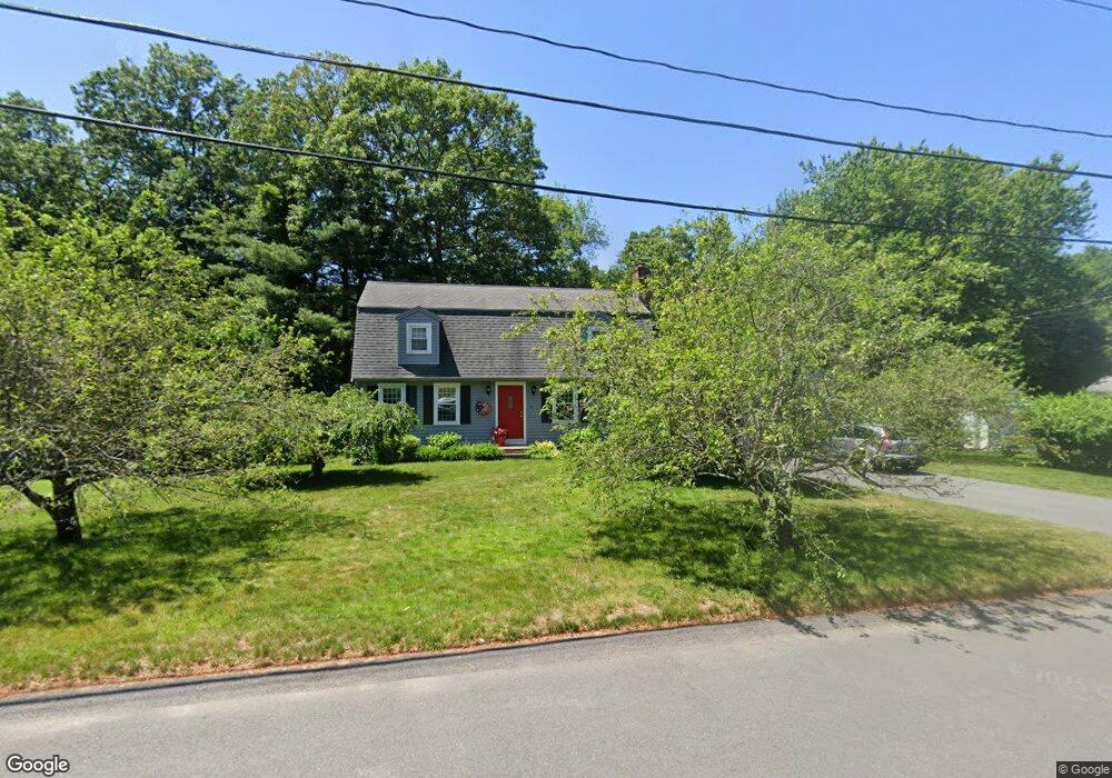
10 Albany Rd Walpole, MA 02081
Estimated Value: $729,093 - $966,000
3
Beds
2
Baths
1,728
Sq Ft
$459/Sq Ft
Est. Value
About This Home
This home is located at 10 Albany Rd, Walpole, MA 02081 and is currently estimated at $792,773, approximately $458 per square foot. 10 Albany Rd is a home located in Norfolk County with nearby schools including Elm Street School, Eleanor N. Johnson Middle School, and Walpole High School.
Create a Home Valuation Report for This Property
The Home Valuation Report is an in-depth analysis detailing your home's value as well as a comparison with similar homes in the area
Home Values in the Area
Average Home Value in this Area
Tax History Compared to Growth
Tax History
| Year | Tax Paid | Tax Assessment Tax Assessment Total Assessment is a certain percentage of the fair market value that is determined by local assessors to be the total taxable value of land and additions on the property. | Land | Improvement |
|---|---|---|---|---|
| 2025 | $8,595 | $669,900 | $354,200 | $315,700 |
| 2024 | $8,344 | $631,200 | $340,600 | $290,600 |
| 2023 | $8,017 | $577,200 | $296,200 | $281,000 |
| 2022 | $7,539 | $521,400 | $274,300 | $247,100 |
| 2021 | $7,389 | $497,900 | $258,700 | $239,200 |
| 2020 | $7,260 | $484,300 | $244,100 | $240,200 |
| 2019 | $6,943 | $459,800 | $234,700 | $225,100 |
| 2018 | $6,601 | $432,300 | $226,600 | $205,700 |
| 2017 | $6,409 | $418,100 | $217,900 | $200,200 |
| 2016 | $6,233 | $400,600 | $209,500 | $191,100 |
| 2015 | $6,049 | $385,300 | $199,700 | $185,600 |
| 2014 | $5,817 | $369,100 | $199,700 | $169,400 |
Source: Public Records
Map
Nearby Homes
- 21 Spear Ave
- 634 Main St Unit 14
- 19 and 23 Arlington Ln
- 2213 Pennington Dr Unit 2213
- 66 Gould St
- 224 School St Unit 10
- 291 Plimpton St
- 4403 Pennington Dr Unit 4403
- 4 Lost Brook Trail
- 24 Pelican Dr
- 12 Timberline Dr Unit 28
- 103 Centre Ln
- 305 Centre Ln
- 18 Teal Cir
- 44 Millbrook Ave
- 16 Magpie Cir Unit 16
- 137 Clear Pond Dr
- 127 Clear Pond Dr
- 74 Granite St
- 8 Autumn Ln