10 Alexander Ave Harpswell, ME 04079
Harpswell NeighborhoodEstimated Value: $490,657 - $629,000
3
Beds
2
Baths
2,252
Sq Ft
$245/Sq Ft
Est. Value
About This Home
This home is located at 10 Alexander Ave, Harpswell, ME 04079 and is currently estimated at $552,164, approximately $245 per square foot. 10 Alexander Ave is a home with nearby schools including Mt Ararat High School.
Ownership History
Date
Name
Owned For
Owner Type
Purchase Details
Closed on
Mar 12, 2021
Sold by
Darling-Soper Julia L
Bought by
Soper Zachary D and Oneill-Soper Mairead
Current Estimated Value
Home Financials for this Owner
Home Financials are based on the most recent Mortgage that was taken out on this home.
Original Mortgage
$450,000
Outstanding Balance
$410,199
Interest Rate
3.75%
Mortgage Type
Purchase Money Mortgage
Estimated Equity
$141,965
Create a Home Valuation Report for This Property
The Home Valuation Report is an in-depth analysis detailing your home's value as well as a comparison with similar homes in the area
Home Values in the Area
Average Home Value in this Area
Purchase History
| Date | Buyer | Sale Price | Title Company |
|---|---|---|---|
| Soper Zachary D | -- | None Available |
Source: Public Records
Mortgage History
| Date | Status | Borrower | Loan Amount |
|---|---|---|---|
| Open | Soper Zachary D | $450,000 |
Source: Public Records
Tax History Compared to Growth
Tax History
| Year | Tax Paid | Tax Assessment Tax Assessment Total Assessment is a certain percentage of the fair market value that is determined by local assessors to be the total taxable value of land and additions on the property. | Land | Improvement |
|---|---|---|---|---|
| 2024 | $1,941 | $305,200 | $60,100 | $245,100 |
| 2023 | $1,862 | $305,200 | $60,100 | $245,100 |
| 2022 | $1,801 | $305,200 | $60,100 | $245,100 |
| 2021 | $1,770 | $261,900 | $54,900 | $207,000 |
| 2020 | $1,765 | $261,900 | $54,900 | $207,000 |
| 2019 | $1,755 | $261,900 | $54,900 | $207,000 |
| 2018 | $1,697 | $261,900 | $54,900 | $207,000 |
| 2017 | $1,692 | $261,900 | $54,900 | $207,000 |
| 2016 | $1,676 | $261,900 | $54,900 | $207,000 |
| 2015 | $1,634 | $261,900 | $54,900 | $207,000 |
| 2013 | $1,514 | $261,900 | $54,900 | $207,000 |
Source: Public Records
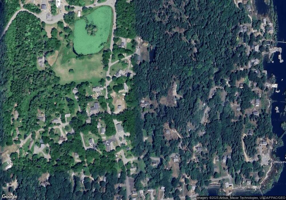
Map
Nearby Homes
- 943 Cundys Harbor Rd
- 136 Bethel Point Rd
- 205 W Cundys Point
- 37 & 38 S Dyers Cove Rd
- 11 Orion Point Way
- lot C Long Point Rd
- 65 Shell Rd
- 242 Long Reach Ln
- 93 Abbot Cove Rd
- 20 Long Point Island
- 1682 Main Rd
- 7-1 Wrong Way Dr
- 25 Echo Ln
- 0 Bayview Rd Unit 2 1632776
- 10 Birch Point Rd
- 270 Harpswell Neck Rd
- 218 Sam Day Hill Rd
- 15 Church Ln
- 29 & 30 Nob Hill Ave
- 646 Gurnet Rd
- 821 Cundys Harbor Rd
- 8 Alexander Ave
- 47 Holbrook St
- 25 Holbrook St
- 815 Cundys Harbor Rd
- 824 Cundys Harbor Rd
- 13 Holbrook St
- 1 Holbrook St
- 6 Longley Dr
- 3 Longley Dr
- 29 Holbrook St
- A Longley
- 7 Longley Dr
- 41 Holbrook St
- 811 Cundys Harbor Rd
- 805 Cundys Harbor Rd
- 24 Holbrook St
- 20 Holbrook St
- 850 Cundys Harbor Rd
- 12 Holbrook St