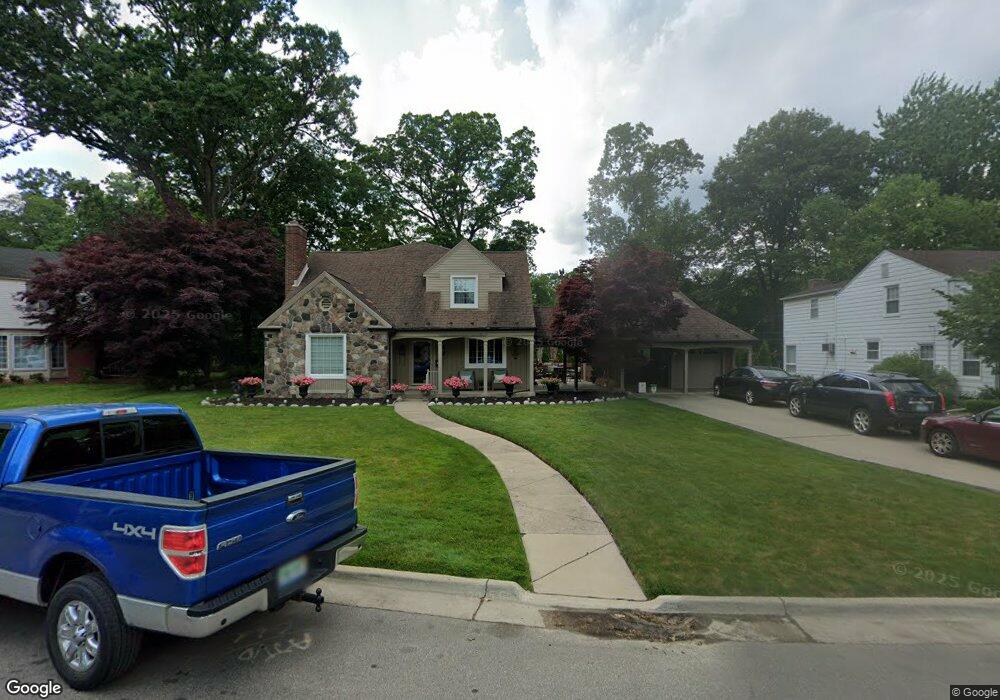
10 Amherst Ln Unit Bldg-Unit Dearborn, MI 48120
Springwells Dearborn NeighborhoodEstimated Value: $438,000 - $524,000
2
Beds
3
Baths
2,814
Sq Ft
$165/Sq Ft
Est. Value
About This Home
This home is located at 10 Amherst Ln Unit Bldg-Unit, Dearborn, MI 48120 and is currently estimated at $463,005, approximately $164 per square foot. 10 Amherst Ln Unit Bldg-Unit is a home located in Wayne County with nearby schools including Geer Park Elementary School, Stout Middle School, and Edsel Ford High School.
Ownership History
Date
Name
Owned For
Owner Type
Purchase Details
Closed on
Feb 1, 2018
Sold by
Patricia A Emety Trust
Bought by
Hammond Mansour
Current Estimated Value
Purchase Details
Closed on
Nov 3, 2010
Sold by
Emery Patricia A
Bought by
Emery Patricia A and Patricia A Emery Trust
Purchase Details
Closed on
Dec 9, 2008
Sold by
Jpmorgan Chase Bank Na
Bought by
Emery Patricia A
Purchase Details
Closed on
Sep 29, 2006
Sold by
Linton Rodney C and Linton Patricia F
Bought by
Linton Rodney C and Rodney C Linton Revocable Trust
Create a Home Valuation Report for This Property
The Home Valuation Report is an in-depth analysis detailing your home's value as well as a comparison with similar homes in the area
Home Values in the Area
Average Home Value in this Area
Purchase History
| Date | Buyer | Sale Price | Title Company |
|---|---|---|---|
| Hammond Mansour | $230,000 | Title One Inc | |
| Emery Patricia A | -- | Minnesota Title Agency | |
| Emery Patricia A | $185,000 | None Available | |
| Linton Rodney C | -- | None Available |
Source: Public Records
Tax History Compared to Growth
Tax History
| Year | Tax Paid | Tax Assessment Tax Assessment Total Assessment is a certain percentage of the fair market value that is determined by local assessors to be the total taxable value of land and additions on the property. | Land | Improvement |
|---|---|---|---|---|
| 2025 | $7,349 | $212,500 | $0 | $0 |
| 2024 | $7,349 | $249,200 | $0 | $0 |
| 2023 | $5,968 | $197,600 | $0 | $0 |
| 2022 | $6,716 | $149,400 | $0 | $0 |
| 2021 | $7,804 | $144,400 | $0 | $0 |
| 2019 | $7,725 | $122,400 | $0 | $0 |
| 2018 | $5,176 | $106,400 | $0 | $0 |
| 2017 | $1,485 | $103,200 | $0 | $0 |
| 2016 | $4,842 | $101,900 | $0 | $0 |
| 2015 | $9,151 | $112,100 | $0 | $0 |
| 2013 | $8,865 | $88,650 | $0 | $0 |
| 2011 | -- | $93,300 | $0 | $0 |
Source: Public Records
Map
Nearby Homes
- 12 Byfield Ln
- 6 Berwick Ln
- 2 Brookwood Ln
- 3144 Lindenwood Dr Unit 146
- 3 Colony Ln
- 1 Colony Ln
- 3064 Lindenwood Dr
- 3939 Charles St
- 14600 Prospect St
- 4400 Lapham St
- 4901 Rosalie St
- 4636 Ternes St
- 4788 Helen St
- 14203 Barclay St
- 6 Bradford Ct Unit 24
- 4886 Rosalie St
- 1026 Linden St
- 5000 Ternes St
- 4964 Kenilworth St
- 17652 Robert St