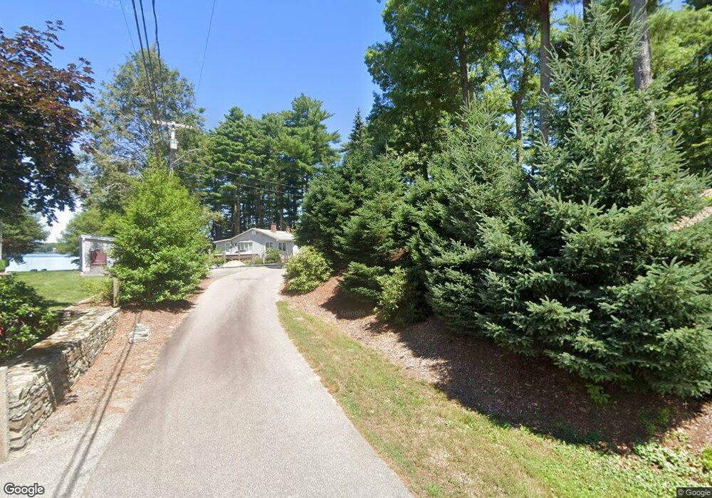
10 Andrews Point Rd Carver, MA 02330
Estimated Value: $566,000 - $718,000
3
Beds
2
Baths
1,400
Sq Ft
$478/Sq Ft
Est. Value
About This Home
This home is located at 10 Andrews Point Rd, Carver, MA 02330 and is currently estimated at $669,276, approximately $478 per square foot. 10 Andrews Point Rd is a home with nearby schools including Carver Elementary School.
Ownership History
Date
Name
Owned For
Owner Type
Purchase Details
Closed on
Apr 4, 2017
Sold by
Sullivan Daniel and Sullivan Mary J
Bought by
Renaissance Nt
Current Estimated Value
Purchase Details
Closed on
Jun 19, 2007
Sold by
Lakin Ft and Lakin Mark H
Bought by
Sullivan Daniel and Sullivan Mary Jane
Purchase Details
Closed on
Apr 15, 2003
Sold by
Lakin Donald A and Lakin Audrey V
Bought by
Lakin Audrey and Lakin Donald A
Create a Home Valuation Report for This Property
The Home Valuation Report is an in-depth analysis detailing your home's value as well as a comparison with similar homes in the area
Home Values in the Area
Average Home Value in this Area
Purchase History
| Date | Buyer | Sale Price | Title Company |
|---|---|---|---|
| Renaissance Nt | -- | -- | |
| Sullivan Daniel | $375,000 | -- | |
| Lakin Audrey | -- | -- |
Source: Public Records
Mortgage History
| Date | Status | Borrower | Loan Amount |
|---|---|---|---|
| Previous Owner | Lakin Audrey | $30,000 |
Source: Public Records
Tax History Compared to Growth
Tax History
| Year | Tax Paid | Tax Assessment Tax Assessment Total Assessment is a certain percentage of the fair market value that is determined by local assessors to be the total taxable value of land and additions on the property. | Land | Improvement |
|---|---|---|---|---|
| 2025 | $9,544 | $688,100 | $254,000 | $434,100 |
| 2024 | $9,124 | $643,900 | $249,000 | $394,900 |
| 2023 | $8,893 | $609,500 | $249,000 | $360,500 |
| 2022 | $8,418 | $526,800 | $212,900 | $313,900 |
| 2021 | $8,079 | $476,900 | $190,100 | $286,800 |
| 2020 | $7,730 | $449,700 | $177,700 | $272,000 |
| 2019 | $7,468 | $438,000 | $172,500 | $265,500 |
| 2018 | $8,325 | $472,200 | $172,500 | $299,700 |
| 2017 | $7,998 | $452,100 | $165,900 | $286,200 |
| 2016 | $6,751 | $396,400 | $121,600 | $274,800 |
| 2015 | $5,074 | $298,300 | $121,600 | $176,700 |
| 2014 | $5,336 | $313,700 | $163,900 | $149,800 |
Source: Public Records
Map
Nearby Homes
- 3 Rochester Rd
- 19 Pine Ridge Way
- 210 Tremont St
- 28 Wareham St
- Lot 1 Ohana Way
- 5 Ohana Way
- Lot 2 Ohana Way
- 9 Everett St
- 29 Pipers Way
- 38 Copper Lantern Ln
- 6 Jefferson Way
- 5 Presidents Way
- 5 Marks Way
- 28 Washington Park
- 23 Marks Way
- 2 Cranberry Cir
- 235 Main St
- 5 Carver Square Blvd Unit 5
- 5 Carver Square Blvd
- 29 S Meadow Village
- 12 Andrews Point Rd
- LOT12- 5b Andrews Point Rd
- 14 Andrews Point Rd
- 6 Andrews Point Rd
- 24 Lakeview St
- 8 Andrews Point Rd
- 4 Andrews Point Rd
- 22 Lakeview St
- 2A Andrews Point Rd
- 2B Andrews Point Rd
- 18 Lakeview St
- 92 S Main St
- 15 Lakeview St
- 0 Andrews Point Rd Unit 72087319
- 14 Lakeview St
- 00 Lakeview St
- 11 Lakeview St
- 25 Lakeview St
- 27 Lakeview St
- 8 Lakeview St