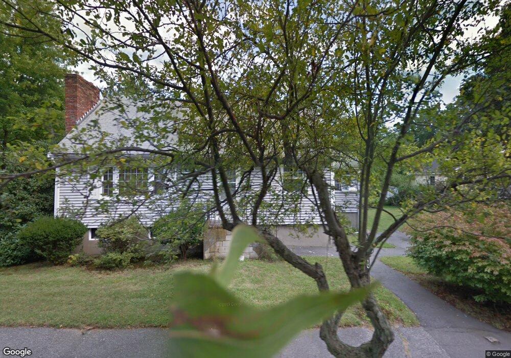
10 Andrews Rd Wakefield, MA 01880
Montrose NeighborhoodEstimated Value: $922,000 - $1,360,000
4
Beds
4
Baths
3,128
Sq Ft
$383/Sq Ft
Est. Value
About This Home
This home is located at 10 Andrews Rd, Wakefield, MA 01880 and is currently estimated at $1,197,493, approximately $382 per square foot. 10 Andrews Rd is a home located in Middlesex County with nearby schools including Wakefield Memorial High School, Odyssey Day School, and St Joseph School.
Create a Home Valuation Report for This Property
The Home Valuation Report is an in-depth analysis detailing your home's value as well as a comparison with similar homes in the area
Home Values in the Area
Average Home Value in this Area
Tax History Compared to Growth
Tax History
| Year | Tax Paid | Tax Assessment Tax Assessment Total Assessment is a certain percentage of the fair market value that is determined by local assessors to be the total taxable value of land and additions on the property. | Land | Improvement |
|---|---|---|---|---|
| 2025 | $13,276 | $1,169,700 | $411,300 | $758,400 |
| 2024 | $12,772 | $1,135,300 | $399,200 | $736,100 |
| 2023 | $12,331 | $1,051,200 | $369,600 | $681,600 |
| 2022 | $11,773 | $955,600 | $336,000 | $619,600 |
| 2021 | $10,981 | $862,600 | $312,200 | $550,400 |
| 2020 | $7,504 | $587,600 | $299,300 | $288,300 |
| 2019 | $7,280 | $567,400 | $289,000 | $278,400 |
| 2018 | $5,925 | $457,500 | $270,900 | $186,600 |
| 2017 | $5,654 | $433,900 | $258,000 | $175,900 |
| 2016 | $5,489 | $406,900 | $238,500 | $168,400 |
| 2015 | $5,126 | $380,300 | $222,900 | $157,400 |
| 2014 | $4,709 | $368,500 | $216,000 | $152,500 |
Source: Public Records
Map
Nearby Homes
- 9 Nelson Ave
- 3 Garden Ln
- 11 Wilson Ave
- 314 Water St Unit 5
- 6 Blue Jay Cir Unit 2
- 18 Walton St
- 14 Sycamore Rd
- 1 Millbrook Ln Unit 304
- 22 Wayland Rd
- 13 Highland St
- 16 Pleasant St
- 199 Nahant St
- 9 Lilah Cir
- 24 Park St
- 1 Mansfield Dr
- 35 Richardson St Unit 2
- 51 Crescent St
- 48 Cordis St
- 22 Jefferson Rd
- 134 Nahant St Unit B