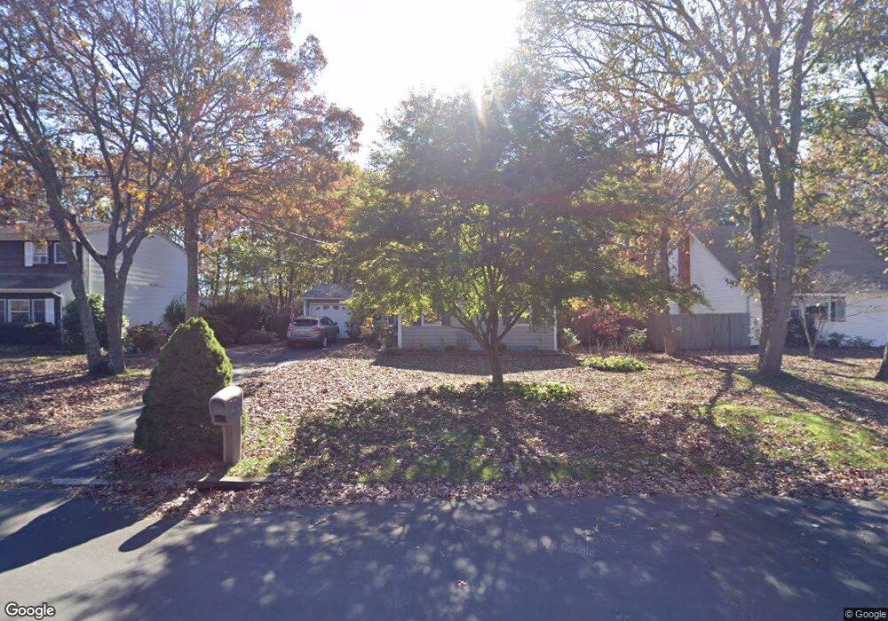
10 Appel Dr E Shirley, NY 11967
Estimated Value: $476,000 - $518,000
3
Beds
1
Bath
1,195
Sq Ft
$415/Sq Ft
Est. Value
About This Home
This home is located at 10 Appel Dr E, Shirley, NY 11967 and is currently estimated at $496,388, approximately $415 per square foot. 10 Appel Dr E is a home located in Suffolk County with nearby schools including Nathaniel Woodhull Elementary School, William Paca Middle School, and William Floyd High School.
Ownership History
Date
Name
Owned For
Owner Type
Purchase Details
Closed on
Apr 10, 2012
Sold by
Soto Eladio
Bought by
Soto Eladio and Soto Santa
Current Estimated Value
Purchase Details
Closed on
Aug 6, 2000
Sold by
Guyer Scott and Guyer Christine
Bought by
Soto Eladio
Home Financials for this Owner
Home Financials are based on the most recent Mortgage that was taken out on this home.
Original Mortgage
$60,000
Interest Rate
8.07%
Purchase Details
Closed on
Oct 26, 1998
Sold by
Bechhofer Jeffrey M and Bechhofer Maryann
Bought by
Guyer Scott and Guyer Christine
Create a Home Valuation Report for This Property
The Home Valuation Report is an in-depth analysis detailing your home's value as well as a comparison with similar homes in the area
Home Values in the Area
Average Home Value in this Area
Purchase History
| Date | Buyer | Sale Price | Title Company |
|---|---|---|---|
| Soto Eladio | -- | -- | |
| Soto Eladio | $158,000 | Fidelity National Title Ins | |
| Guyer Scott | $101,000 | First American Title Ins Co |
Source: Public Records
Mortgage History
| Date | Status | Borrower | Loan Amount |
|---|---|---|---|
| Previous Owner | Soto Eladio | $60,000 |
Source: Public Records
Tax History
| Year | Tax Paid | Tax Assessment Tax Assessment Total Assessment is a certain percentage of the fair market value that is determined by local assessors to be the total taxable value of land and additions on the property. | Land | Improvement |
|---|---|---|---|---|
| 2024 | $6,073 | $2,000 | $150 | $1,850 |
| 2023 | $6,073 | $2,000 | $150 | $1,850 |
| 2022 | $6,405 | $2,000 | $150 | $1,850 |
| 2021 | $6,405 | $2,000 | $150 | $1,850 |
| 2020 | $6,616 | $2,000 | $150 | $1,850 |
| 2019 | $6,616 | $0 | $0 | $0 |
| 2018 | $6,209 | $2,000 | $150 | $1,850 |
| 2017 | $6,209 | $2,000 | $150 | $1,850 |
| 2016 | $6,218 | $2,000 | $150 | $1,850 |
| 2015 | -- | $2,000 | $150 | $1,850 |
| 2014 | -- | $2,000 | $150 | $1,850 |
Source: Public Records
Map
Nearby Homes
- 34 Greentree Ct
- 21 Greentree Ct
- 41 Greentree Ct
- 70 Breston Dr E
- 39 Appel Dr E
- 10 Amarr Dr
- 0 Amarr Dr Unit KEYL3493702
- 7 Pondview Cir
- 33 Ranch Dr
- 43 Adobe Dr
- 191 Flower Rd
- 7 Tipton Dr W
- 4 Cotton Tail Ct
- 33 Loughlin Dr
- 41 Lama Dr
- 54 Beacon St
- 21 Lama Dr
- 19 Carmen View Dr
- Vacant Lot The Green
- VL - (Sec 937 Lot 14 The Green
Your Personal Tour Guide
Ask me questions while you tour the home.