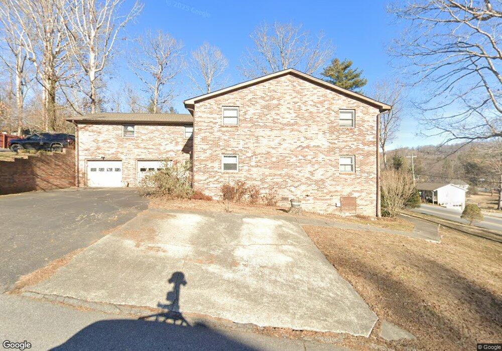
10 Ardis Ln Hendersonville, NC 28792
Estimated Value: $216,137 - $233,000
2
Beds
2
Baths
1,152
Sq Ft
$195/Sq Ft
Est. Value
About This Home
This home is located at 10 Ardis Ln, Hendersonville, NC 28792 and is currently estimated at $224,569, approximately $194 per square foot. 10 Ardis Ln is a home located in Henderson County with nearby schools including Clear Creek Elementary School, Apple Valley Middle School, and North Henderson High School.
Ownership History
Date
Name
Owned For
Owner Type
Purchase Details
Closed on
Dec 19, 2019
Sold by
Burke Deborah Ann
Bought by
Brown Erik Luther and Brown Donnie Faye
Current Estimated Value
Purchase Details
Closed on
Aug 31, 2016
Bought by
Childress Zeffrey Aaron
Purchase Details
Closed on
Jun 15, 2016
Sold by
Atkins Robert Anthony
Bought by
Asheville Rei Llc
Purchase Details
Closed on
Dec 16, 2015
Sold by
Moore Sarah J
Bought by
Burke Deborah Ann
Home Financials for this Owner
Home Financials are based on the most recent Mortgage that was taken out on this home.
Original Mortgage
$74,000
Interest Rate
3.98%
Mortgage Type
New Conventional
Purchase Details
Closed on
Jul 8, 2014
Sold by
Jollie George A
Bought by
Smith Paige Mcdaniel
Create a Home Valuation Report for This Property
The Home Valuation Report is an in-depth analysis detailing your home's value as well as a comparison with similar homes in the area
Home Values in the Area
Average Home Value in this Area
Purchase History
| Date | Buyer | Sale Price | Title Company |
|---|---|---|---|
| Brown Erik Luther | $130,500 | -- | |
| Childress Zeffrey Aaron | $104,500 | -- | |
| Asheville Rei Llc | $73,500 | -- | |
| Burke Deborah Ann | $93,000 | -- | |
| Smith Paige Mcdaniel | $90,000 | -- |
Source: Public Records
Mortgage History
| Date | Status | Borrower | Loan Amount |
|---|---|---|---|
| Previous Owner | Burke Deborah Ann | $74,000 |
Source: Public Records
Tax History Compared to Growth
Tax History
| Year | Tax Paid | Tax Assessment Tax Assessment Total Assessment is a certain percentage of the fair market value that is determined by local assessors to be the total taxable value of land and additions on the property. | Land | Improvement |
|---|---|---|---|---|
| 2025 | -- | $20,500 | $20,500 | $0 |
| 2024 | -- | $20,500 | $20,500 | $0 |
| 2023 | -- | $20,500 | $20,500 | $0 |
| 2022 | $0 | $20,500 | $20,500 | $0 |
| 2021 | $0 | $20,500 | $20,500 | $0 |
| 2020 | $0 | $20,500 | $0 | $0 |
| 2019 | $0 | $20,500 | $0 | $0 |
| 2018 | $0 | $20,500 | $0 | $0 |
| 2017 | $0 | $20,500 | $0 | $0 |
| 2016 | $0 | $0 | $0 | $0 |
| 2015 | -- | $0 | $0 | $0 |
| 2014 | -- | $400,200 | $0 | $0 |
Source: Public Records
Map
Nearby Homes
- 231 Kimberly Ann Dr
- 65 Brookside Dr Unit 35
- 1042 Brookside Camp Rd
- 103 Oakwood Place Unit 3
- 103 Oakwood Place Unit 4
- 324 Whispering Hills Dr
- 111 Laura Trace
- 125 Fulton Dr
- 3204 Hickory Hill Rd
- 3224 Hickory Hill Rd
- 3119 Hickory Hill Rd
- 3017 Chestnut Tree Rd
- 208 Bragg Ct
- 292 Brookside Camp Rd
- 00 Old Roper Rd
- 0 Empress Ln
- 49 Gosling Cir E
- 701 Salisbury Rd
- 150 Baton Ln
- 21 Fox Run Dr