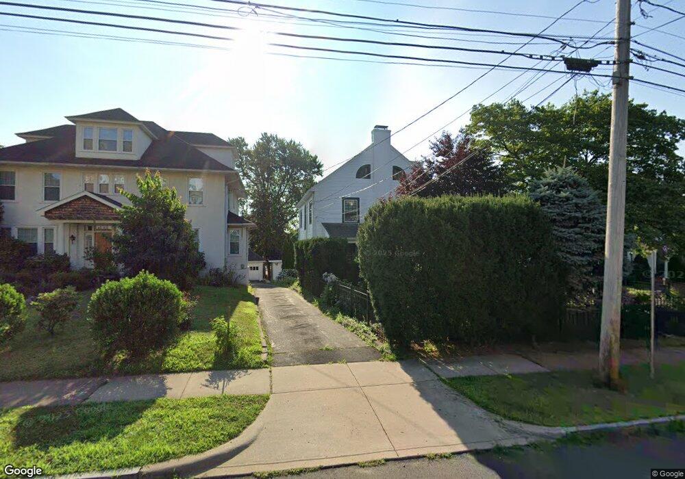
10 Arnoldale Rd West Hartford, CT 06119
Estimated Value: $536,000 - $717,000
5
Beds
4
Baths
2,908
Sq Ft
$220/Sq Ft
Est. Value
About This Home
This home is located at 10 Arnoldale Rd, West Hartford, CT 06119 and is currently estimated at $640,096, approximately $220 per square foot. 10 Arnoldale Rd is a home located in Hartford County with nearby schools including Whiting Lane School, Adams Elementary School, and King Philip Middle School.
Ownership History
Date
Name
Owned For
Owner Type
Purchase Details
Closed on
Jul 9, 1998
Sold by
Bonadies Jennie P Est
Bought by
Stodder James P and Curry Elizabeth A
Current Estimated Value
Create a Home Valuation Report for This Property
The Home Valuation Report is an in-depth analysis detailing your home's value as well as a comparison with similar homes in the area
Home Values in the Area
Average Home Value in this Area
Purchase History
| Date | Buyer | Sale Price | Title Company |
|---|---|---|---|
| Stodder James P | $149,000 | -- |
Source: Public Records
Mortgage History
| Date | Status | Borrower | Loan Amount |
|---|---|---|---|
| Open | Stodder James P | $100,000 | |
| Open | Stodder James P | $260,000 | |
| Closed | Stodder James P | $35,000 | |
| Closed | Stodder James P | $160,000 |
Source: Public Records
Tax History Compared to Growth
Tax History
| Year | Tax Paid | Tax Assessment Tax Assessment Total Assessment is a certain percentage of the fair market value that is determined by local assessors to be the total taxable value of land and additions on the property. | Land | Improvement |
|---|---|---|---|---|
| 2025 | $11,463 | $255,990 | $92,260 | $163,730 |
| 2024 | $10,841 | $255,990 | $92,260 | $163,730 |
| 2023 | $10,475 | $255,990 | $92,260 | $163,730 |
| 2022 | $10,414 | $255,990 | $92,260 | $163,730 |
| 2021 | $9,992 | $235,550 | $92,260 | $143,290 |
| 2020 | $9,550 | $228,480 | $87,430 | $141,050 |
| 2019 | $9,550 | $228,480 | $87,430 | $141,050 |
| 2018 | $9,368 | $228,480 | $87,430 | $141,050 |
| 2017 | $9,377 | $228,480 | $87,430 | $141,050 |
| 2016 | $8,972 | $227,080 | $87,500 | $139,580 |
| 2015 | $8,699 | $227,080 | $87,500 | $139,580 |
| 2014 | $8,486 | $227,080 | $87,500 | $139,580 |
Source: Public Records
Map
Nearby Homes
- 48 Walkley Rd
- 16 Lilley Rd
- 237 Fern St Unit 314
- 520 Prospect Ave
- 518 Prospect Ave
- 39 Fairlawn St
- 478 Prospect Ave
- 16 Lockwood Terrace
- 21 Warren Terrace
- 105 Ardmore Rd
- 90-92 Rowe Ave
- 2 Rodney St
- 62 Whitney St
- 869 Farmington Ave Unit 305
- 30 Outlook Ave Unit 205
- 287 Whiting Ln
- 126 Heath St
- 54 Robin Rd Unit B2
- 120 Whitney St
- 54 James St Unit 56
- 12 Arnoldale Rd
- 8 Arnoldale Rd
- 16 Arnoldale Rd
- 9 Beverly Rd
- 735 Farmington Ave
- 11 Beverly Rd
- 737 Farmington Ave
- 15 Beverly Rd
- 3 Arnoldale Rd
- 9 Arnoldale Rd
- 15 Arnoldale Rd
- 19 Beverly Rd
- 22 Arnoldale Rd
- 17 Arnoldale Rd
- 21 Beverly Rd
- 8 Beverly Rd
- 10 Beverly Rd
- 745-749 Farmington Ave
- 745 Farmington Ave
- 749 Farmington Ave