10 Ashford Ln Newtown, CT 06470
Estimated Value: $925,082 - $1,088,000
4
Beds
3
Baths
3,539
Sq Ft
$288/Sq Ft
Est. Value
About This Home
This home is located at 10 Ashford Ln, Newtown, CT 06470 and is currently estimated at $1,020,771, approximately $288 per square foot. 10 Ashford Ln is a home located in Fairfield County with nearby schools including Reed Intermediate School, Head O'Meadow Elementary School, and Newtown Middle School.
Ownership History
Date
Name
Owned For
Owner Type
Purchase Details
Closed on
Dec 2, 2003
Sold by
Robinson Carl and Robinson Jacqueline
Bought by
Mele David and Mele Lauralee
Current Estimated Value
Home Financials for this Owner
Home Financials are based on the most recent Mortgage that was taken out on this home.
Original Mortgage
$300,000
Outstanding Balance
$141,050
Interest Rate
6.09%
Estimated Equity
$879,721
Purchase Details
Closed on
Sep 15, 1993
Sold by
Griffith David and Griffith Jacqueline
Bought by
Robinson Carl and Robinson Jacquleine
Purchase Details
Closed on
Mar 22, 1990
Sold by
L & L Homes Inc
Bought by
Griffith David
Create a Home Valuation Report for This Property
The Home Valuation Report is an in-depth analysis detailing your home's value as well as a comparison with similar homes in the area
Home Values in the Area
Average Home Value in this Area
Purchase History
| Date | Buyer | Sale Price | Title Company |
|---|---|---|---|
| Mele David | $667,400 | -- | |
| Mele David | $667,400 | -- | |
| Robinson Carl | $465,000 | -- | |
| Robinson Carl | $465,000 | -- | |
| Griffith David | $466,500 | -- |
Source: Public Records
Mortgage History
| Date | Status | Borrower | Loan Amount |
|---|---|---|---|
| Open | Griffith David | $300,000 | |
| Closed | Griffith David | $300,000 | |
| Previous Owner | Griffith David | $155,000 |
Source: Public Records
Tax History Compared to Growth
Tax History
| Year | Tax Paid | Tax Assessment Tax Assessment Total Assessment is a certain percentage of the fair market value that is determined by local assessors to be the total taxable value of land and additions on the property. | Land | Improvement |
|---|---|---|---|---|
| 2025 | $13,972 | $486,150 | $108,910 | $377,240 |
| 2024 | $13,111 | $486,150 | $108,910 | $377,240 |
| 2023 | $12,757 | $486,150 | $108,910 | $377,240 |
| 2022 | $12,449 | $359,060 | $93,610 | $265,450 |
| 2021 | $12,441 | $359,060 | $93,610 | $265,450 |
| 2020 | $12,481 | $359,060 | $93,610 | $265,450 |
| 2019 | $12,485 | $359,060 | $93,610 | $265,450 |
| 2018 | $12,294 | $359,060 | $93,610 | $265,450 |
| 2017 | $12,377 | $365,430 | $102,060 | $263,370 |
| 2016 | $12,278 | $365,430 | $102,060 | $263,370 |
| 2015 | $12,085 | $365,430 | $102,060 | $263,370 |
| 2014 | $12,172 | $365,430 | $102,060 | $263,370 |
Source: Public Records
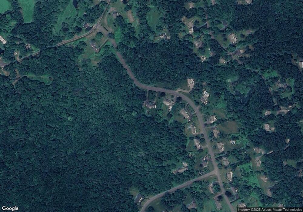
Map
Nearby Homes
- 8 Possum Ridge Rd
- 133 Sugar St
- 57 Scudder Rd
- 10 Wedgewood Ct
- 68 Birch Hill Rd
- 7 Cross Brook Rd
- 83 Birch Hill Rd
- 23 Taunton Ln
- 16 Rock Ridge Rd
- 184 Sugar St
- 3 Boulder Creek Rd
- 55 Sugar St Unit 17A
- 55 Sugar St Unit 9
- 55 Sugar St Unit 6
- 55 Sugar St Unit 2
- 55 Sugar St Unit 31
- 55 Sugar St Unit 33
- 55 Sugar St Unit 3
- 55 Sugar St Unit 20
- 55 Sugar St Unit 28
- 12 Ashford Ln
- 14 Ashford Ln
- 16 Ashford Ln
- 9 Ashford Ln
- 18 Ashford Ln
- 19 Cobblestone Ln
- 13 Ashford Ln
- 5 Ashford Ln
- 20 Ashford Ln
- 17 Cobblestone Ln
- 15 Ashford Ln
- 135 Castle Hill Rd
- 17 Ashford Ln
- 139 Head of Meadow Rd
- 137 Head of Meadow Rd
- 2 Ashford Ln
- 19 Ashford Ln
- 135 Head of Meadow Rd
- 22 Ashford Ln
- 141 Head of Meadow Rd