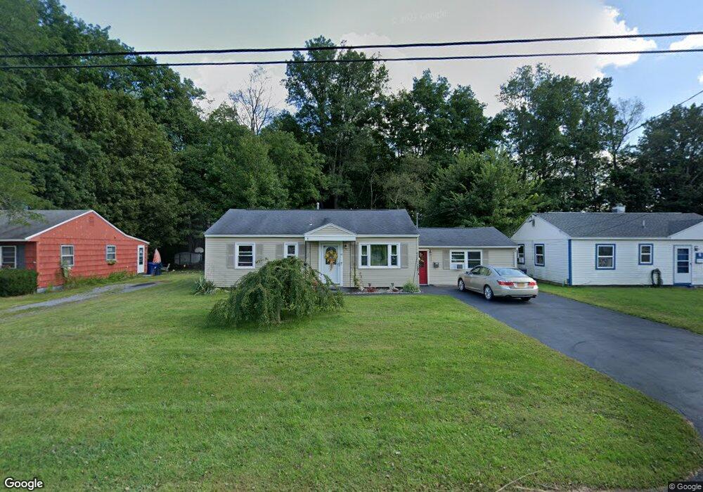
10 Ashwood Ave Whitesboro, NY 13492
Estimated Value: $158,000 - $186,000
3
Beds
1
Bath
1,380
Sq Ft
$126/Sq Ft
Est. Value
About This Home
This home is located at 10 Ashwood Ave, Whitesboro, NY 13492 and is currently estimated at $174,218, approximately $126 per square foot. 10 Ashwood Ave is a home located in Oneida County with nearby schools including Whitesboro High School and Harts Hill Baptist Academy.
Ownership History
Date
Name
Owned For
Owner Type
Purchase Details
Closed on
Oct 9, 2006
Sold by
Briggs Mary
Bought by
Hadlock Elizabeth
Current Estimated Value
Home Financials for this Owner
Home Financials are based on the most recent Mortgage that was taken out on this home.
Original Mortgage
$61,000
Outstanding Balance
$15,169
Interest Rate
6.47%
Mortgage Type
Purchase Money Mortgage
Estimated Equity
$159,049
Purchase Details
Closed on
May 4, 2001
Sold by
Angelhow Cynthia F and Angelhow K
Bought by
Campola Janine M
Create a Home Valuation Report for This Property
The Home Valuation Report is an in-depth analysis detailing your home's value as well as a comparison with similar homes in the area
Home Values in the Area
Average Home Value in this Area
Purchase History
| Date | Buyer | Sale Price | Title Company |
|---|---|---|---|
| Hadlock Elizabeth | $83,000 | John Maya | |
| Campola Janine M | $63,000 | Brian Miga |
Source: Public Records
Mortgage History
| Date | Status | Borrower | Loan Amount |
|---|---|---|---|
| Open | Hadlock Elizabeth | $61,000 |
Source: Public Records
Tax History Compared to Growth
Tax History
| Year | Tax Paid | Tax Assessment Tax Assessment Total Assessment is a certain percentage of the fair market value that is determined by local assessors to be the total taxable value of land and additions on the property. | Land | Improvement |
|---|---|---|---|---|
| 2024 | $1,171 | $69,000 | $8,800 | $60,200 |
| 2023 | $3,675 | $69,000 | $8,800 | $60,200 |
| 2022 | $3,685 | $69,000 | $8,800 | $60,200 |
| 2021 | $3,656 | $69,000 | $8,800 | $60,200 |
| 2020 | $2,335 | $69,000 | $8,800 | $60,200 |
| 2019 | $1,733 | $69,000 | $8,800 | $60,200 |
| 2018 | $1,809 | $69,000 | $8,800 | $60,200 |
| 2017 | $1,733 | $69,000 | $8,800 | $60,200 |
| 2016 | $1,680 | $69,000 | $8,800 | $60,200 |
| 2015 | -- | $69,000 | $8,800 | $60,200 |
| 2014 | -- | $69,000 | $8,800 | $60,200 |
Source: Public Records
Map
Nearby Homes
- 6 Pinecrest Rd
- 159 Wood Rd
- 48 Ashwood Ave
- 46 Walnut Dr
- 18 Fairdale Place
- 107 Hardcastle Ave
- 6 Denton Ave
- 129 Westmoreland St
- 13 Dodd St
- 15 Foster St
- 0 Wilcox Rd
- 179 Main St
- 327 Hillside Dr
- 315 Hillside Dr
- 14 Olena Dr
- 0 Westmoreland Rd
- 6 1st St
- 0 Airport Rd Unit S1595632
- 5549 Valley Rd
- 7 Dennison Ave