10 Atlantic Dr Little Compton, RI 02837
Estimated Value: $3,224,000 - $4,384,000
6
Beds
3
Baths
2,453
Sq Ft
$1,454/Sq Ft
Est. Value
About This Home
This home is located at 10 Atlantic Dr, Little Compton, RI 02837 and is currently estimated at $3,567,374, approximately $1,454 per square foot. 10 Atlantic Dr is a home located in Newport County with nearby schools including Wilbur & McMahon School.
Ownership History
Date
Name
Owned For
Owner Type
Purchase Details
Closed on
Feb 6, 2014
Sold by
Chase Molly
Bought by
Malabar Llc
Current Estimated Value
Purchase Details
Closed on
Aug 23, 2013
Sold by
Cook Caitlin R
Bought by
Malabar Llc
Create a Home Valuation Report for This Property
The Home Valuation Report is an in-depth analysis detailing your home's value as well as a comparison with similar homes in the area
Home Values in the Area
Average Home Value in this Area
Purchase History
| Date | Buyer | Sale Price | Title Company |
|---|---|---|---|
| Malabar Llc | -- | -- | |
| Malabar Llc | -- | -- | |
| Malabar Llc | -- | -- | |
| Malabar Llc | -- | -- | |
| Malabar Llc | -- | -- | |
| Malabar Llc | -- | -- | |
| Malabar Llc | -- | -- | |
| Malabar Llc | -- | -- | |
| Malabar Llc | -- | -- |
Source: Public Records
Tax History
| Year | Tax Paid | Tax Assessment Tax Assessment Total Assessment is a certain percentage of the fair market value that is determined by local assessors to be the total taxable value of land and additions on the property. | Land | Improvement |
|---|---|---|---|---|
| 2025 | $14,162 | $2,956,500 | $2,432,300 | $524,200 |
| 2024 | $13,226 | $2,603,600 | $2,113,700 | $489,900 |
| 2023 | $12,914 | $2,603,600 | $2,113,700 | $489,900 |
| 2022 | $12,758 | $2,603,600 | $2,113,700 | $489,900 |
| 2021 | $12,849 | $2,127,300 | $1,776,300 | $351,000 |
| 2020 | $12,743 | $2,127,300 | $1,776,300 | $351,000 |
| 2019 | $12,615 | $2,127,300 | $1,776,300 | $351,000 |
| 2018 | $12,667 | $2,125,400 | $1,776,300 | $349,100 |
| 2016 | $12,051 | $2,125,400 | $1,776,300 | $349,100 |
| 2015 | $9,709 | $1,688,500 | $1,299,800 | $388,700 |
| 2014 | $9,523 | $1,688,500 | $1,299,800 | $388,700 |
Source: Public Records
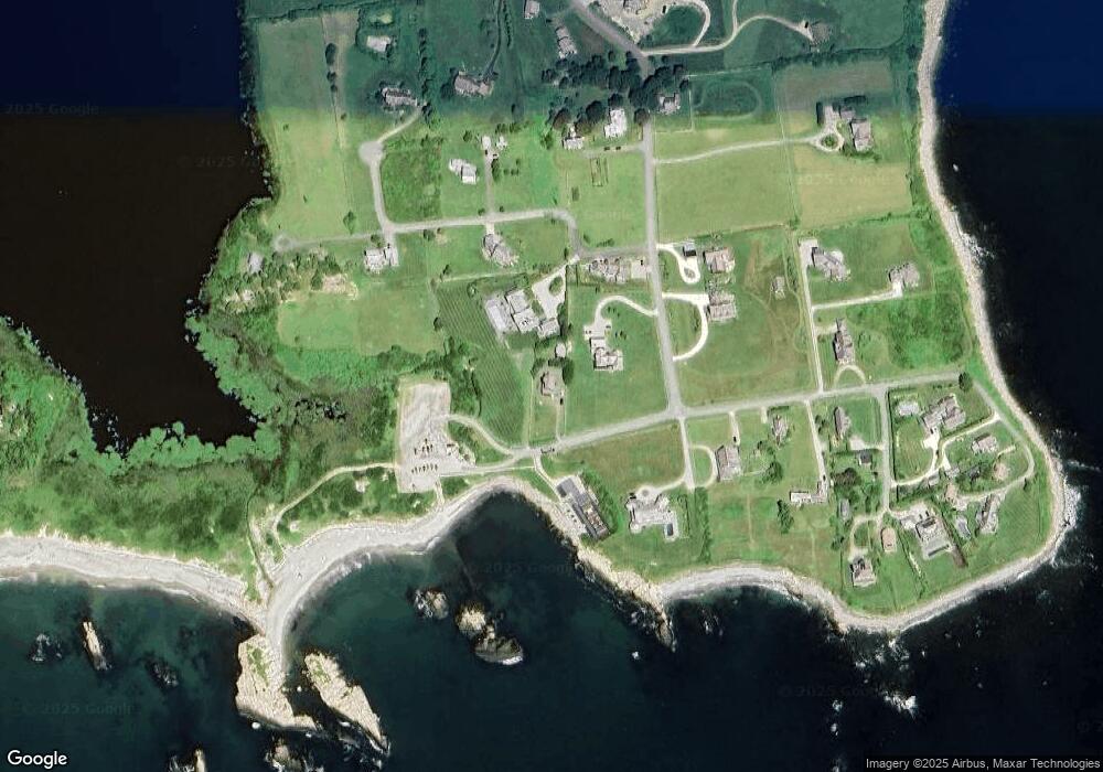
Map
Nearby Homes
- 141 S Of Commons Rd
- 49 Ocean Dr
- 38 Old Bull Ln
- 30 Indian Rd
- 89 S Shore Rd
- 128 Maple Ave
- 441 W Main Rd
- 138 Willow Ave
- 0 Willow Ave
- 515 Indian Ave
- 505 Long Hwy
- 141 Peckham Rd
- 180 W Main Rd
- 255 John Dyer Rd
- 17 Ferolbink Way
- 100 Summerfield Ln
- 155 W Main Rd
- 0 Indian Ave
- 141 Gray Craig Rd
- 225 Old Mill Ln
Your Personal Tour Guide
Ask me questions while you tour the home.