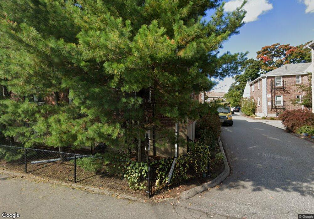
10 Bacon St Unit 2 Waltham, MA 02451
Bank Square NeighborhoodEstimated Value: $307,331 - $343,000
1
Bed
1
Bath
527
Sq Ft
$628/Sq Ft
Est. Value
About This Home
This home is located at 10 Bacon St Unit 2, Waltham, MA 02451 and is currently estimated at $330,833, approximately $627 per square foot. 10 Bacon St Unit 2 is a home located in Middlesex County with nearby schools including Thomas R Plympton Elementary School, John F Kennedy Middle School, and Waltham Sr High School.
Ownership History
Date
Name
Owned For
Owner Type
Purchase Details
Closed on
Oct 7, 2002
Sold by
Pattison Cynthia D
Bought by
Mackenzie Michael R
Current Estimated Value
Home Financials for this Owner
Home Financials are based on the most recent Mortgage that was taken out on this home.
Original Mortgage
$140,600
Outstanding Balance
$59,419
Interest Rate
6.27%
Mortgage Type
Purchase Money Mortgage
Estimated Equity
$271,414
Create a Home Valuation Report for This Property
The Home Valuation Report is an in-depth analysis detailing your home's value as well as a comparison with similar homes in the area
Home Values in the Area
Average Home Value in this Area
Purchase History
| Date | Buyer | Sale Price | Title Company |
|---|---|---|---|
| Mackenzie Michael R | $148,000 | -- |
Source: Public Records
Mortgage History
| Date | Status | Borrower | Loan Amount |
|---|---|---|---|
| Open | Mackenzie Michael R | $140,600 |
Source: Public Records
Tax History
| Year | Tax Paid | Tax Assessment Tax Assessment Total Assessment is a certain percentage of the fair market value that is determined by local assessors to be the total taxable value of land and additions on the property. | Land | Improvement |
|---|---|---|---|---|
| 2025 | $2,640 | $268,800 | $0 | $268,800 |
| 2024 | $2,533 | $262,800 | $0 | $262,800 |
| 2023 | $2,373 | $229,900 | $0 | $229,900 |
| 2022 | $2,494 | $223,900 | $0 | $223,900 |
| 2021 | $2,485 | $219,500 | $0 | $219,500 |
| 2020 | $2,538 | $212,400 | $0 | $212,400 |
| 2019 | $2,081 | $164,400 | $0 | $164,400 |
| 2018 | $1,435 | $113,800 | $0 | $113,800 |
| 2017 | $1,429 | $113,800 | $0 | $113,800 |
| 2016 | $1,393 | $113,800 | $0 | $113,800 |
| 2015 | $1,899 | $144,600 | $0 | $144,600 |
Source: Public Records
Map
Nearby Homes
- 15 Howard St
- 291-293 School St
- 50 Hammond St
- 39 Floyd St Unit 2
- 43-45 Wellington St Unit 3
- 32 Vernon St
- 54-56 South St
- 55-57 Crescent St
- 31 Weston St Unit 2
- 70 School St
- 15 Lexington Terrace
- 41 Auburn St
- 7 Pearl St
- 19 Everett St Unit 2
- 31 Hall St Unit 2
- 61 Hall St Unit 1
- 61 Hall St Unit 9
- 61 Hall St Unit 2
- 61 Hall St Unit PH 15
- 15 Alder St Unit 1
- 12 Bacon St Unit 6
- 12 Bacon St Unit 5
- 12 Bacon St Unit 4
- 10 Bacon St Unit 6
- 10 Bacon St Unit 5
- 10 Bacon St Unit 4
- 12 Bacon St Unit 3
- 12 Bacon St Unit 2
- 12 Bacon St Unit 1
- 10 Bacon St Unit 3
- 10 Bacon St Unit 1
- 10 Bacon St Unit 2B
- 10 Bacon St Unit 1B
- 10 Bacon St Unit 10-2B
- 10 Bacon St Unit 10-4
- 12 Bacon St Unit 3,12
- 12 Bacon St Unit 1 12
- 18 Bacon St Unit 6
- 18 Bacon St Unit 5
- 18 Bacon St Unit 2
Your Personal Tour Guide
Ask me questions while you tour the home.