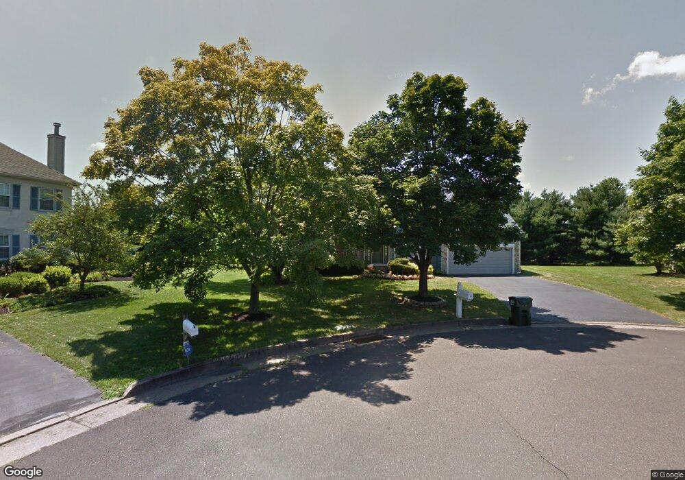
10 Balsam Ct Newtown, PA 18940
Estimated Value: $859,215 - $891,000
4
Beds
3
Baths
2,479
Sq Ft
$353/Sq Ft
Est. Value
About This Home
This home is located at 10 Balsam Ct, Newtown, PA 18940 and is currently estimated at $876,304, approximately $353 per square foot. 10 Balsam Ct is a home located in Bucks County with nearby schools including Newtown Elementary School, Newtown Middle School, and Council Rock High School North.
Ownership History
Date
Name
Owned For
Owner Type
Purchase Details
Closed on
May 3, 1991
Sold by
Fpa Corp
Bought by
Bachner Roger and Bachner Teresa
Current Estimated Value
Purchase Details
Closed on
Apr 3, 1980
Bought by
Fpa Corp
Create a Home Valuation Report for This Property
The Home Valuation Report is an in-depth analysis detailing your home's value as well as a comparison with similar homes in the area
Home Values in the Area
Average Home Value in this Area
Purchase History
| Date | Buyer | Sale Price | Title Company |
|---|---|---|---|
| Bachner Roger | $227,800 | -- | |
| Fpa Corp | $60,970,000 | -- |
Source: Public Records
Tax History Compared to Growth
Tax History
| Year | Tax Paid | Tax Assessment Tax Assessment Total Assessment is a certain percentage of the fair market value that is determined by local assessors to be the total taxable value of land and additions on the property. | Land | Improvement |
|---|---|---|---|---|
| 2025 | $8,339 | $46,920 | $10,200 | $36,720 |
| 2024 | $8,339 | $46,920 | $10,200 | $36,720 |
| 2023 | $7,978 | $46,920 | $10,200 | $36,720 |
| 2022 | $7,824 | $46,920 | $10,200 | $36,720 |
| 2021 | $7,702 | $46,920 | $10,200 | $36,720 |
| 2020 | $7,331 | $46,920 | $10,200 | $36,720 |
| 2019 | $7,158 | $46,920 | $10,200 | $36,720 |
| 2018 | $7,022 | $46,920 | $10,200 | $36,720 |
| 2017 | $6,779 | $46,920 | $10,200 | $36,720 |
| 2016 | $6,732 | $46,920 | $10,200 | $36,720 |
| 2015 | -- | $46,920 | $10,200 | $36,720 |
| 2014 | -- | $46,920 | $10,200 | $36,720 |
Source: Public Records
Map
Nearby Homes
- 10 Amy Cir
- 8 Periwinkle Place
- 4 Gladiola Cir
- 5 Pansy Ct
- 9 Tulip Dr
- 83 Cypress Place
- 102 Broadleaf Place
- 13 Sparrow Walk
- 316 Monterey Place
- 7 Grace Cir
- 291 Sequoia Dr
- 220 Stoopville Rd
- 35 Elfreths Ct
- 95 Rittenhouse Cir Unit 92
- Lot 4 Ava Ct
- 69 Hillyer Ln
- 22 Delaney Dr
- 2212 Society Place Unit D2
- 401 Society Place Unit A1
- 101 Laurel Cir