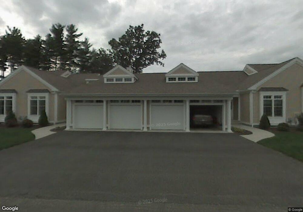
10 Balsam Dr Wilbraham, MA 01095
Estimated Value: $507,000 - $552,000
3
Beds
3
Baths
1,644
Sq Ft
$317/Sq Ft
Est. Value
About This Home
This home is located at 10 Balsam Dr, Wilbraham, MA 01095 and is currently estimated at $520,591, approximately $316 per square foot. 10 Balsam Dr is a home located in Hampden County with nearby schools including Minnechaug Regional High School and Wilbraham & Monson Academy.
Ownership History
Date
Name
Owned For
Owner Type
Purchase Details
Closed on
Jun 1, 2005
Sold by
Woods Wilbraham Llc
Bought by
Harris Lawrence B and Harris Sandra E
Current Estimated Value
Home Financials for this Owner
Home Financials are based on the most recent Mortgage that was taken out on this home.
Original Mortgage
$65,000
Outstanding Balance
$34,087
Interest Rate
5.83%
Mortgage Type
Purchase Money Mortgage
Estimated Equity
$486,504
Create a Home Valuation Report for This Property
The Home Valuation Report is an in-depth analysis detailing your home's value as well as a comparison with similar homes in the area
Home Values in the Area
Average Home Value in this Area
Purchase History
| Date | Buyer | Sale Price | Title Company |
|---|---|---|---|
| Harris Lawrence B | $355,000 | -- |
Source: Public Records
Mortgage History
| Date | Status | Borrower | Loan Amount |
|---|---|---|---|
| Open | Harris Lawrence B | $65,000 |
Source: Public Records
Tax History Compared to Growth
Tax History
| Year | Tax Paid | Tax Assessment Tax Assessment Total Assessment is a certain percentage of the fair market value that is determined by local assessors to be the total taxable value of land and additions on the property. | Land | Improvement |
|---|---|---|---|---|
| 2025 | $8,187 | $457,900 | $0 | $457,900 |
| 2024 | $7,293 | $394,200 | $0 | $394,200 |
| 2023 | $7,458 | $385,600 | $0 | $385,600 |
| 2022 | $7,458 | $364,000 | $0 | $364,000 |
| 2021 | $6,826 | $297,300 | $0 | $297,300 |
| 2020 | $6,654 | $297,300 | $0 | $297,300 |
| 2019 | $6,481 | $297,300 | $0 | $297,300 |
| 2018 | $6,647 | $293,600 | $0 | $293,600 |
| 2017 | $6,459 | $293,600 | $0 | $293,600 |
| 2016 | $6,374 | $295,100 | $0 | $295,100 |
| 2015 | $6,162 | $295,100 | $0 | $295,100 |
Source: Public Records
Map
Nearby Homes
- 79 High Pine Cir
- 69 High Pine Cir
- 54 High Pine Cir
- 35 Lake Dr
- 4 Hillcrest Dr
- 2 Vista Rd
- 28 Decorie Dr
- 46 Washington Rd
- 2 Bayberry Dr Unit 51
- 20 Old Orchard Rd
- 8 Patriot Ridge Ln
- 474 Mountain Rd
- 474-480 Mountain Rd
- 6 Teak Terrace Unit 24
- 19 Linwood Dr
- 182 Mountain Rd
- 99 Sandalwood Dr Unit site 00
- 103 Sandalwood Dr Unit site 00
- 57 Sandalwood Dr Unit site 61
- 111 Sandalwood Dr Unit site 00
- 6 Balsam Dr
- 12 Balsam Dr
- 8 Balsam Dr
- 84 High Pine Cir Unit 84
- 84 High Pine Cir Unit 184
- 95 High Pine Cir
- 93 High Pine Cir
- 91 High Pine Cir
- 89 High Pine Cir
- 87 High Pine Cir
- 85 High Pine Cir
- 84 High Pine Cir
- 83 High Pine Cir
- 82 High Pine Cir
- 81 High Pine Cir
- 77 High Pine Cir
- 75 High Pine Cir
- 73 High Pine Cir
- 71 High Pine Cir
- 67 High Pine Cir