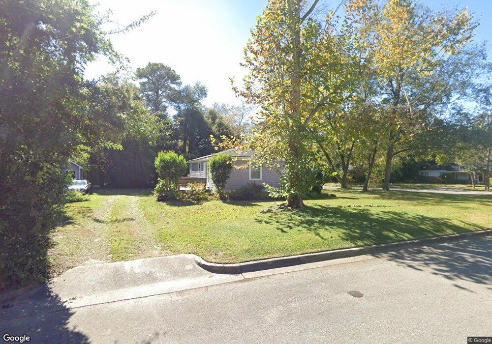
10 Barnard Dr Wilmington, NC 28405
Carolina Heights NeighborhoodEstimated Value: $292,000 - $313,000
3
Beds
1
Bath
924
Sq Ft
$325/Sq Ft
Est. Value
About This Home
This home is located at 10 Barnard Dr, Wilmington, NC 28405 and is currently estimated at $300,318, approximately $325 per square foot. 10 Barnard Dr is a home located in New Hanover County with nearby schools including Rachel Freeman School of Engineering, Williston Middle School, and New Hanover High School.
Ownership History
Date
Name
Owned For
Owner Type
Purchase Details
Closed on
Jan 1, 2001
Bought by
Maultsby J B
Current Estimated Value
Purchase Details
Closed on
Jun 28, 1996
Sold by
Jewell Kelly W Jr Isabelle M
Bought by
Jewell Patrick Smith Diana E
Purchase Details
Closed on
Jul 20, 1989
Sold by
Maultsby Lawrence S
Bought by
Jewell Kelly W Jr Isabelle M
Purchase Details
Closed on
Jul 7, 1989
Sold by
Maultsby J B Hrs
Bought by
Maultsby John B
Purchase Details
Closed on
May 3, 1989
Sold by
Maultsby Jr John B
Bought by
Maultsby Lawrence S
Create a Home Valuation Report for This Property
The Home Valuation Report is an in-depth analysis detailing your home's value as well as a comparison with similar homes in the area
Home Values in the Area
Average Home Value in this Area
Purchase History
| Date | Buyer | Sale Price | Title Company |
|---|---|---|---|
| Maultsby J B | -- | -- | |
| Jewell Patrick Smith Diana E | -- | -- | |
| Jewell Kelly W Jr Isabelle M | $28,000 | -- | |
| Maultsby John B | -- | -- | |
| Maultsby Lawrence S | -- | -- |
Source: Public Records
Tax History Compared to Growth
Tax History
| Year | Tax Paid | Tax Assessment Tax Assessment Total Assessment is a certain percentage of the fair market value that is determined by local assessors to be the total taxable value of land and additions on the property. | Land | Improvement |
|---|---|---|---|---|
| 2025 | $1,860 | $316,100 | $122,800 | $193,300 |
| 2023 | $1,272 | $146,200 | $68,600 | $77,600 |
| 2022 | $1,243 | $146,200 | $68,600 | $77,600 |
| 2021 | $1,251 | $146,200 | $68,600 | $77,600 |
| 2020 | $1,125 | $106,800 | $43,300 | $63,500 |
| 2019 | $1,125 | $106,800 | $43,300 | $63,500 |
| 2018 | $1,125 | $106,800 | $43,300 | $63,500 |
| 2017 | $1,125 | $106,800 | $43,300 | $63,500 |
| 2016 | $975 | $88,000 | $38,000 | $50,000 |
| 2015 | $932 | $88,000 | $38,000 | $50,000 |
| 2014 | $892 | $88,000 | $38,000 | $50,000 |
Source: Public Records
Map
Nearby Homes
- 102 N 25th St
- 221 N 26th St
- 2906 Market St Unit 202
- 2612 Princess Place Dr
- 106 Kenwood Ave
- 115 Forest Hills Dr
- 110 Kenwood Ave
- 6 Keaton Ave
- 17 Montgomery Ave
- 2208 Carlton Ave
- 2401 Westminister Way
- 222 Evans St
- 115 Covil Ave Unit 102
- 123 Covil Ave Unit 203
- 418 Forest Hills Dr
- 421 Evans St
- 109 & 113 Clay St
- 431-A Evans
- 431 Evans St
- 2024 Market St
- 102 Barnard Dr
- 106 Barnard Dr
- 11 Barnard Dr
- 13 Barnard Dr
- 9 Barnard Dr
- 2703 Lyndon Ave
- 101 Barnard Dr
- 110 Barnard Dr
- 105 Barnard Dr
- 2707 Lyndon Ave
- 2701 Market St
- 2709 Market St
- 2709 Market St
- 2709 Market St
- 2709 Market St
- 2709 Market St
- 2709 Market St
- 2709 Market St
- 2709 Market St Unit 107
- 114 Barnard Dr