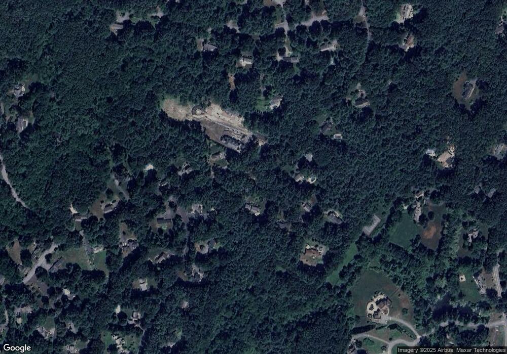
10 Barnet Rd Sudbury, MA 01776
Estimated Value: $893,868 - $1,081,000
4
Beds
2
Baths
1,883
Sq Ft
$536/Sq Ft
Est. Value
About This Home
This home is located at 10 Barnet Rd, Sudbury, MA 01776 and is currently estimated at $1,008,717, approximately $535 per square foot. 10 Barnet Rd is a home located in Middlesex County with nearby schools including Josiah Haynes Elementary School, Ephraim Curtis Middle School, and Lincoln-Sudbury Regional High School.
Ownership History
Date
Name
Owned For
Owner Type
Purchase Details
Closed on
Aug 28, 1992
Sold by
Kaplan Hal E and Kaplan Ellen R
Bought by
Dow Marilyn G
Current Estimated Value
Home Financials for this Owner
Home Financials are based on the most recent Mortgage that was taken out on this home.
Original Mortgage
$137,000
Interest Rate
8.09%
Mortgage Type
Purchase Money Mortgage
Create a Home Valuation Report for This Property
The Home Valuation Report is an in-depth analysis detailing your home's value as well as a comparison with similar homes in the area
Home Values in the Area
Average Home Value in this Area
Purchase History
| Date | Buyer | Sale Price | Title Company |
|---|---|---|---|
| Dow Marilyn G | $231,300 | -- |
Source: Public Records
Mortgage History
| Date | Status | Borrower | Loan Amount |
|---|---|---|---|
| Closed | Dow Marilyn G | $135,000 | |
| Closed | Dow Marilyn G | $137,000 | |
| Previous Owner | Dow Marilyn G | $32,000 |
Source: Public Records
Tax History Compared to Growth
Tax History
| Year | Tax Paid | Tax Assessment Tax Assessment Total Assessment is a certain percentage of the fair market value that is determined by local assessors to be the total taxable value of land and additions on the property. | Land | Improvement |
|---|---|---|---|---|
| 2025 | $10,882 | $743,300 | $461,600 | $281,700 |
| 2024 | $10,519 | $720,000 | $448,000 | $272,000 |
| 2023 | $10,604 | $672,400 | $414,800 | $257,600 |
| 2022 | $10,653 | $590,200 | $380,400 | $209,800 |
| 2021 | $10,566 | $561,100 | $380,400 | $180,700 |
| 2020 | $10,352 | $561,100 | $380,400 | $180,700 |
| 2019 | $10,049 | $561,100 | $380,400 | $180,700 |
| 2018 | $9,498 | $529,700 | $400,400 | $129,300 |
| 2017 | $9,007 | $507,700 | $395,600 | $112,100 |
| 2016 | $8,676 | $487,400 | $380,400 | $107,000 |
| 2015 | $7,985 | $453,700 | $365,600 | $88,100 |
| 2014 | $7,955 | $441,200 | $354,800 | $86,400 |
Source: Public Records
Map
Nearby Homes
- 16 Blacksmith Dr
- 42 Dakin Rd
- 369 Border Rd
- 67 Powder Mill Rd
- 29 Black Birch Ln Unit 29
- 57 Longfellow Rd
- 9 Black Birch Ln Unit 9
- 96 Forest Ridge Rd Unit 96
- 589 North Rd
- 40 Rookery Ln Unit 5
- 72 Rookery Ln Unit 3
- 401 Emery Ln Unit 104
- 24 Rookery Ln Unit 6
- 56 Rookery Ln Unit 4
- 5 Oak Ridge Dr Unit 7
- 80 N Branch Rd
- 10 Oak Ridge Dr Unit 5
- 1844 Main St Unit 1844
- 14 Frost Ln
- 394 Plainfield Rd Unit 394
- 11 Barnet Rd
- 19 Barnet Rd
- 126 Willard Grant Rd
- 182 Powers Rd
- 118 Willard Grant Rd
- 175 Powers Rd
- 24 Barnet Rd
- 169 Powers Rd
- Lot 2 & 3 Nolan Cir
- 29 Barnet Rd
- 188 Powers Rd
- 2759 Old Marlboro Rd
- 30 Barnet Rd
- 158 Powers Rd
- 112 Willard Grant Rd
- 161 Powers Rd
- 111 Willard Grant Rd
- 106 Willard Grant Rd
- 1445 Old Marlboro Rd
- 59 Hunters Ridge Rd
