10 Barton Rd Harvard, MA 01451
Estimated Value: $776,803 - $1,023,000
4
Beds
2
Baths
2,175
Sq Ft
$412/Sq Ft
Est. Value
About This Home
This home is located at 10 Barton Rd, Harvard, MA 01451 and is currently estimated at $895,201, approximately $411 per square foot. 10 Barton Rd is a home located in Worcester County with nearby schools including Hildreth Elementary School, The Bromfield School, and Immaculate Heart of Mary School.
Ownership History
Date
Name
Owned For
Owner Type
Purchase Details
Closed on
May 20, 2003
Sold by
Est Reed Robert D and Reed Warren C
Bought by
Adams Mark S and Adams Tracy L
Current Estimated Value
Home Financials for this Owner
Home Financials are based on the most recent Mortgage that was taken out on this home.
Original Mortgage
$322,700
Outstanding Balance
$140,762
Interest Rate
5.84%
Mortgage Type
Purchase Money Mortgage
Estimated Equity
$754,439
Create a Home Valuation Report for This Property
The Home Valuation Report is an in-depth analysis detailing your home's value as well as a comparison with similar homes in the area
Home Values in the Area
Average Home Value in this Area
Purchase History
| Date | Buyer | Sale Price | Title Company |
|---|---|---|---|
| Adams Mark S | $470,000 | -- |
Source: Public Records
Mortgage History
| Date | Status | Borrower | Loan Amount |
|---|---|---|---|
| Open | Adams Mark S | $322,700 |
Source: Public Records
Tax History
| Year | Tax Paid | Tax Assessment Tax Assessment Total Assessment is a certain percentage of the fair market value that is determined by local assessors to be the total taxable value of land and additions on the property. | Land | Improvement |
|---|---|---|---|---|
| 2025 | $10,658 | $681,000 | $325,800 | $355,200 |
| 2024 | $10,029 | $673,100 | $312,400 | $360,700 |
| 2023 | $10,011 | $602,700 | $277,000 | $325,700 |
| 2022 | $9,161 | $511,500 | $262,500 | $249,000 |
| 2021 | $103 | $484,700 | $262,500 | $222,200 |
| 2020 | $8,010 | $433,700 | $267,200 | $166,500 |
| 2019 | $7,557 | $433,800 | $267,200 | $166,600 |
| 2018 | $106 | $417,100 | $267,200 | $149,900 |
| 2017 | $6,818 | $376,700 | $228,200 | $148,500 |
| 2016 | $6,512 | $360,800 | $218,500 | $142,300 |
| 2015 | $6,757 | $379,800 | $214,100 | $165,700 |
| 2014 | $6,366 | $372,500 | $214,100 | $158,400 |
Source: Public Records
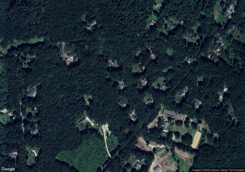
Map
Nearby Homes
- 19 Barton Rd
- 21 Woodside Rd
- 19 Partridge Hill Rd
- 236 Bolton Rd
- 3 Old Harvard Rd
- 18 B Pine Hill Way Unit BB
- 16 A Pine Hill Way Unit 16AA
- 14 Pine Hill Way
- 347 Green Rd
- 90 Corn Rd
- 13 Pine Hill Way
- 310 Codman Hill Rd Unit 35D
- 295 Vaughn Hill Rd
- 90 Harvard Rd
- 93 Vaughn Hill Rd
- Lot 54 Prospect Hill Rd
- Lot 60 Prospect Hill Rd
- 176 Swanson Rd Unit 304
- 220 Swanson Rd Unit 605
- 220 Swanson Rd Unit 606