10 Baston Blvd New Limerick, ME 04761
Estimated Value: $173,000 - $323,000
--
Bed
--
Bath
--
Sq Ft
--
Built
About This Home
This home is located at 10 Baston Blvd, New Limerick, ME 04761 and is currently estimated at $244,460. 10 Baston Blvd is a home with nearby schools including Mill Pond School and Hodgdon Middle/High School.
Ownership History
Date
Name
Owned For
Owner Type
Purchase Details
Closed on
Aug 22, 2025
Sold by
Mcguire Gary J and Mcguire Lisa A
Bought by
Merritt Jordyn and Brewer Megan
Current Estimated Value
Purchase Details
Closed on
Oct 30, 2012
Sold by
Baston Raymond E and Anderson Dawn R
Bought by
Mcguire Gary J and Mcguire Lisa M
Home Financials for this Owner
Home Financials are based on the most recent Mortgage that was taken out on this home.
Original Mortgage
$120,000
Interest Rate
3.56%
Mortgage Type
Commercial
Purchase Details
Closed on
Jun 7, 2005
Sold by
Cowan Irene A
Bought by
Mcguire Gary J and Mcguire Lisa M
Create a Home Valuation Report for This Property
The Home Valuation Report is an in-depth analysis detailing your home's value as well as a comparison with similar homes in the area
Home Values in the Area
Average Home Value in this Area
Purchase History
| Date | Buyer | Sale Price | Title Company |
|---|---|---|---|
| Merritt Jordyn | $480,000 | -- | |
| Merritt Jordyn | $480,000 | -- | |
| Mcguire Gary J | -- | -- | |
| Mcguire Gary J | -- | -- | |
| Mcguire Gary J | -- | -- | |
| Mcguire Gary J | -- | -- | |
| Mcguire Gary J | -- | -- |
Source: Public Records
Mortgage History
| Date | Status | Borrower | Loan Amount |
|---|---|---|---|
| Previous Owner | Mcguire Gary J | $120,000 |
Source: Public Records
Tax History Compared to Growth
Tax History
| Year | Tax Paid | Tax Assessment Tax Assessment Total Assessment is a certain percentage of the fair market value that is determined by local assessors to be the total taxable value of land and additions on the property. | Land | Improvement |
|---|---|---|---|---|
| 2022 | $1,383 | $184,400 | $52,400 | $132,000 |
| 2021 | $1,537 | $153,700 | $43,700 | $110,000 |
| 2020 | $1,537 | $153,700 | $43,700 | $110,000 |
| 2019 | $1,537 | $153,700 | $43,700 | $110,000 |
| 2018 | $1,383 | $153,700 | $43,700 | $110,000 |
| 2017 | $1,422 | $153,700 | $43,700 | $110,000 |
| 2016 | $1,306 | $153,700 | $43,700 | $110,000 |
| 2014 | $1,222 | $152,800 | $43,700 | $109,100 |
| 2013 | $1,146 | $152,800 | $43,700 | $109,100 |
Source: Public Records
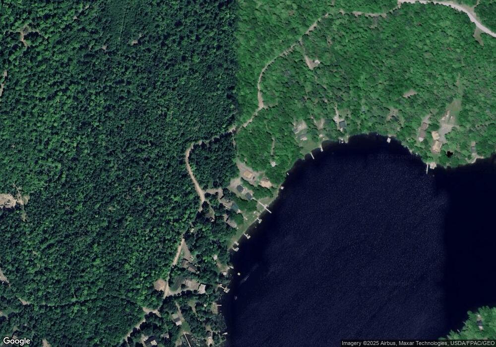
Map
Nearby Homes
- 101 S South Shore Rd
- 105 S Shore Rd
- 217 S Shore Rd
- 838 Drews Mill Rd
- Lot 12 Winter Rd
- 0 County Rd Unit U 24034245
- Lot U County Rd
- 9 Tapley Rd
- Lot 3 Morrison Brook Acres
- Lot 6 Morrison Brook Acres
- 1991 Ludlow Rd
- 12 Jamies Rd
- Lot 6
- M12L5-1 Burton Rd
- Lot 3
- 1020 County Rd
- 10 Drake Ln
- 8 Drake Ln
- 7 Brown Rd
- 276 White Rd
- 70 Chickadee Ln
- 42 Chickadee Ln
- 9 Chipmunk Ln
- 94 Chickadee Ln
- 28 Brown Trout Ln
- 30 Brown Trout Ln
- 102 Chickadee
- 10 Chickadee Ln
- 108 Chickadee Ln
- 35 Hummingbird Ln
- 101 S Shore Rd
- 0 N Shore Rd
- 27 Hummingbird Ln
- 105 S South Shore Rd
- 143 N Shore Rd
- 106 S South Shore Rd
- 141 N Shore Rd
- LT 65 Drews Island
- 100 Bald Eagfle Ln
- 139 S Shore Rd