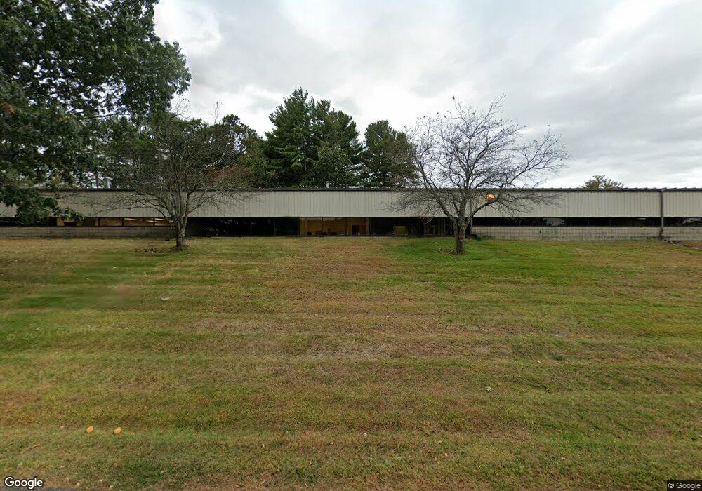
10 Bayfield Dr North Andover, MA 01845
Estimated Value: $3,090,265
--
Bed
--
Bath
22,402
Sq Ft
$138/Sq Ft
Est. Value
About This Home
This home is located at 10 Bayfield Dr, North Andover, MA 01845 and is currently estimated at $3,090,265, approximately $137 per square foot. 10 Bayfield Dr is a home located in Essex County with nearby schools including Franklin Elementary School, North Andover Middle School, and North Andover High School.
Ownership History
Date
Name
Owned For
Owner Type
Purchase Details
Closed on
Apr 20, 2018
Sold by
Atlee Of Delaware Inc
Bought by
Doyon North Andover Re
Current Estimated Value
Home Financials for this Owner
Home Financials are based on the most recent Mortgage that was taken out on this home.
Original Mortgage
$700,000
Outstanding Balance
$602,268
Interest Rate
4.46%
Mortgage Type
Unknown
Estimated Equity
$2,487,997
Purchase Details
Closed on
Feb 20, 1985
Bought by
Atlee Of Delaware Inc
Create a Home Valuation Report for This Property
The Home Valuation Report is an in-depth analysis detailing your home's value as well as a comparison with similar homes in the area
Home Values in the Area
Average Home Value in this Area
Purchase History
| Date | Buyer | Sale Price | Title Company |
|---|---|---|---|
| Doyon North Andover Re | $1,800,000 | -- | |
| Atlee Of Delaware Inc | -- | -- |
Source: Public Records
Mortgage History
| Date | Status | Borrower | Loan Amount |
|---|---|---|---|
| Open | Doyon North Andover Re | $700,000 |
Source: Public Records
Tax History Compared to Growth
Tax History
| Year | Tax Paid | Tax Assessment Tax Assessment Total Assessment is a certain percentage of the fair market value that is determined by local assessors to be the total taxable value of land and additions on the property. | Land | Improvement |
|---|---|---|---|---|
| 2025 | $36,682 | $2,318,700 | $747,200 | $1,571,500 |
| 2024 | $35,407 | $2,269,700 | $703,700 | $1,566,000 |
| 2023 | $37,510 | $2,174,500 | $659,000 | $1,515,500 |
| 2022 | $36,936 | $1,972,000 | $593,700 | $1,378,300 |
| 2021 | $33,759 | $1,750,100 | $528,300 | $1,221,800 |
| 2020 | $32,025 | $1,728,300 | $506,500 | $1,221,800 |
| 2019 | $32,456 | $1,692,200 | $506,500 | $1,185,700 |
| 2018 | $36,112 | $1,692,200 | $506,500 | $1,185,700 |
| 2017 | $28,659 | $1,401,400 | $449,900 | $951,500 |
| 2016 | $28,687 | $1,401,400 | $449,900 | $951,500 |
| 2015 | $28,459 | $1,402,600 | $438,000 | $964,600 |
Source: Public Records
Map
Nearby Homes
- 40 Flagship Dr
- 204 Chestnut St
- 180 Chestnut St
- 7 Heather Dr
- 34 Rosemont Dr
- 124 Hillside Rd
- 127 Tucker Farm Rd
- 122 Lisa Ln
- 12 Farnum St
- 4 Buchan Rd
- 495 Johnson St
- 105 Elm St Unit A
- 50 A Whittier St Unit 1
- 53 Salem St
- 58 Berkeley Rd
- 14 Summer St
- 78 Salem St
- 80 Sandra Ln
- 61 Elm St Unit 61
- 31 Bartlet St
- 68 Meadowood Rd
- 66 Meadowood Rd Unit Rd
- 66 Meadowood Rd
- 70 Meadowood Rd
- 76 Meadowood Rd
- 14 Kathleen Dr
- 82 Meadowood Rd
- 12 Kathleen Dr
- 16 Kathleen Dr
- 65 Meadowood Rd
- 75 Meadowood Rd
- 64 Meadowood Rd
- 81 Meadowood Rd
- 86 Meadowood Rd
- 10 Kathleen Dr
- 62 Meadowood Rd
- 57 Meadowood Rd
- 8 Kathleen Dr
- 91 Meadowood Rd
- 18 Kathleen Dr