10 Belle St Ipswich, MA 01938
Estimated Value: $870,515 - $951,000
3
Beds
3
Baths
2,246
Sq Ft
$400/Sq Ft
Est. Value
About This Home
This home is located at 10 Belle St, Ipswich, MA 01938 and is currently estimated at $898,129, approximately $399 per square foot. 10 Belle St is a home located in Essex County with nearby schools including Ipswich High School, Clark School, and North Shore Montessori School.
Ownership History
Date
Name
Owned For
Owner Type
Purchase Details
Closed on
Nov 7, 2024
Sold by
Mckinney Pamela A and Mckinney Robert C
Bought by
Mckinney Kaitlin P
Current Estimated Value
Create a Home Valuation Report for This Property
The Home Valuation Report is an in-depth analysis detailing your home's value as well as a comparison with similar homes in the area
Home Values in the Area
Average Home Value in this Area
Purchase History
| Date | Buyer | Sale Price | Title Company |
|---|---|---|---|
| Mckinney Kaitlin P | -- | None Available | |
| Mckinney Kaitlin P | -- | None Available |
Source: Public Records
Tax History
| Year | Tax Paid | Tax Assessment Tax Assessment Total Assessment is a certain percentage of the fair market value that is determined by local assessors to be the total taxable value of land and additions on the property. | Land | Improvement |
|---|---|---|---|---|
| 2025 | $8,994 | $806,600 | $348,900 | $457,700 |
| 2024 | $8,386 | $736,900 | $348,500 | $388,400 |
| 2023 | $8,088 | $661,300 | $322,300 | $339,000 |
| 2022 | $7,504 | $583,500 | $278,800 | $304,700 |
| 2021 | $7,468 | $564,900 | $283,100 | $281,800 |
| 2020 | $7,391 | $527,200 | $259,200 | $268,000 |
| 2019 | $7,180 | $509,600 | $252,600 | $257,000 |
| 2018 | $7,193 | $505,100 | $250,500 | $254,600 |
| 2017 | $7,007 | $493,800 | $248,300 | $245,500 |
| 2016 | $7,121 | $479,500 | $239,600 | $239,900 |
| 2015 | $6,478 | $479,500 | $239,600 | $239,900 |
Source: Public Records
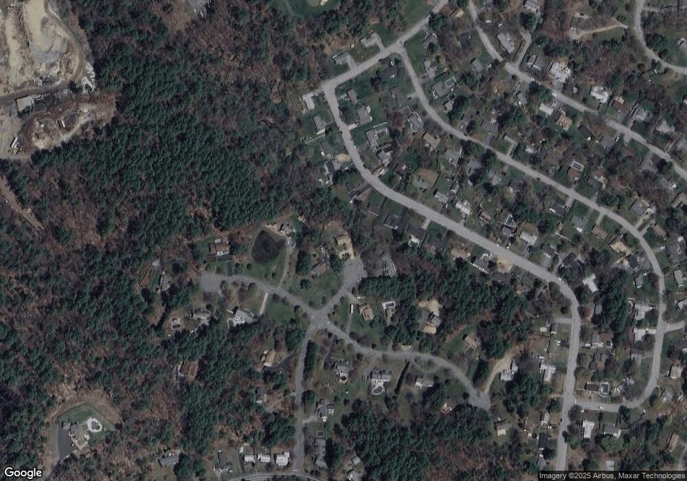
Map
Nearby Homes
- 75 Country Club Way
- 10 Choate Ln
- 196 Country Club Way
- 7 Hickory Ln
- 378 Linebrook Rd
- 17 Ice Pond Dr
- 76-78 Daniels Rd
- 38 Buttonwood
- 38 Buttonwood Unit 30
- 9 Booth Ct Unit 9
- 9 Booth Ct
- 30 Buttonwood
- 10 Fairway Dr Unit 10
- 16 Fairway Dr Unit 16
- 5 Cobblers Ln
- 37 East St
- 45 Pineswamp Rd
- 480 Newburyport Turnpike
- 460 - 472 Newburyport Turnpike
- 22 Taylor Ln
Your Personal Tour Guide
Ask me questions while you tour the home.