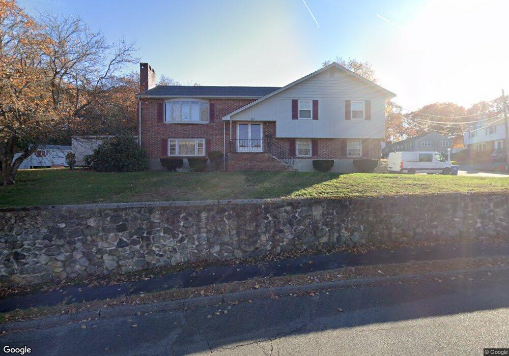
10 Belmont Rd Wakefield, MA 01880
Greenwood NeighborhoodEstimated Value: $860,000 - $1,000,000
3
Beds
3
Baths
2,294
Sq Ft
$397/Sq Ft
Est. Value
About This Home
This home is located at 10 Belmont Rd, Wakefield, MA 01880 and is currently estimated at $910,748, approximately $397 per square foot. 10 Belmont Rd is a home located in Middlesex County with nearby schools including Wakefield Memorial High School and Melrose Montessori School.
Ownership History
Date
Name
Owned For
Owner Type
Purchase Details
Closed on
Jul 13, 2004
Sold by
Eyres Orpha D and Eyres Ronald D
Bought by
Moscone Gene F and Moscone Mariann
Current Estimated Value
Home Financials for this Owner
Home Financials are based on the most recent Mortgage that was taken out on this home.
Original Mortgage
$471,975
Outstanding Balance
$237,333
Interest Rate
6.32%
Mortgage Type
Purchase Money Mortgage
Estimated Equity
$673,416
Purchase Details
Closed on
Oct 16, 1998
Sold by
Dugas Norman A and Dugas Louise B
Bought by
Eyres Ronald D and Eyres Orpha D
Purchase Details
Closed on
Apr 30, 1992
Sold by
Dwyer Wendell C and Dwyer Beverlyi R
Bought by
Bryan Louise A and Dugas Norman A
Create a Home Valuation Report for This Property
The Home Valuation Report is an in-depth analysis detailing your home's value as well as a comparison with similar homes in the area
Home Values in the Area
Average Home Value in this Area
Purchase History
| Date | Buyer | Sale Price | Title Company |
|---|---|---|---|
| Moscone Gene F | $525,000 | -- | |
| Eyres Ronald D | $330,750 | -- | |
| Bryan Louise A | $280,000 | -- |
Source: Public Records
Mortgage History
| Date | Status | Borrower | Loan Amount |
|---|---|---|---|
| Open | Eyres Ronald D | $288,900 | |
| Closed | Eyres Ronald D | $162,000 | |
| Open | Moscone Gene F | $471,975 |
Source: Public Records
Tax History
| Year | Tax Paid | Tax Assessment Tax Assessment Total Assessment is a certain percentage of the fair market value that is determined by local assessors to be the total taxable value of land and additions on the property. | Land | Improvement |
|---|---|---|---|---|
| 2025 | $8,624 | $759,800 | $395,300 | $364,500 |
| 2024 | $8,297 | $737,500 | $383,700 | $353,800 |
| 2023 | $8,010 | $682,900 | $355,300 | $327,600 |
| 2022 | $7,649 | $620,900 | $323,000 | $297,900 |
| 2021 | $8,115 | $637,500 | $301,100 | $336,400 |
| 2020 | $7,805 | $611,200 | $288,700 | $322,500 |
| 2019 | $7,571 | $590,100 | $278,700 | $311,400 |
| 2018 | $7,164 | $553,200 | $261,300 | $291,900 |
| 2017 | $6,866 | $526,900 | $248,900 | $278,000 |
| 2016 | $6,506 | $482,300 | $230,700 | $251,600 |
| 2015 | $6,077 | $450,800 | $215,600 | $235,200 |
| 2014 | $5,585 | $437,000 | $209,000 | $228,000 |
Source: Public Records
Map
Nearby Homes
- 11 Ludlow Ave
- 9 Lovis Ave
- 12 Lovis Ave
- 824 Main St Unit 1
- 33 Lake Ave
- 601 Franklin St Unit 2
- 7 West St
- 1 Sidney St
- 23 Ellsworth Ave
- 24 Ellsworth Ave
- 11 Valdora Dr
- 34-36 W Highland Ave
- 51 Spring St
- 9 Ledge St
- 159 Franklin St Unit D2
- 159 Franklin St Unit C2
- 159 Franklin St Unit E6
- 98 Boardman Ave
- 5 Chapel Way
- 176 Bay State Rd
Your Personal Tour Guide
Ask me questions while you tour the home.