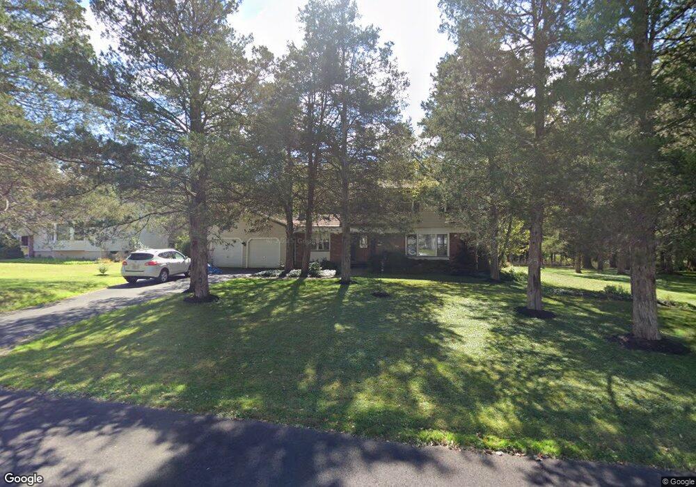
10 Bertram Dr Bridgewater, NJ 08807
Estimated Value: $840,185 - $894,000
Studio
--
Bath
2,174
Sq Ft
$401/Sq Ft
Est. Value
About This Home
This home is located at 10 Bertram Dr, Bridgewater, NJ 08807 and is currently estimated at $871,046, approximately $400 per square foot. 10 Bertram Dr is a home located in Somerset County with nearby schools including Milltown School, Eisenhower Intermediate School, and Bridgewater-Raritan Middle School.
Ownership History
Date
Name
Owned For
Owner Type
Purchase Details
Closed on
Dec 1, 1995
Sold by
Royal Estates
Bought by
Crosby Tim and Crosby Kim
Current Estimated Value
Home Financials for this Owner
Home Financials are based on the most recent Mortgage that was taken out on this home.
Original Mortgage
$165,000
Outstanding Balance
$3,376
Interest Rate
7.37%
Estimated Equity
$867,670
Create a Home Valuation Report for This Property
The Home Valuation Report is an in-depth analysis detailing your home's value as well as a comparison with similar homes in the area
Home Values in the Area
Average Home Value in this Area
Purchase History
| Date | Buyer | Sale Price | Title Company |
|---|---|---|---|
| Crosby Tim | $208,900 | -- |
Source: Public Records
Mortgage History
| Date | Status | Borrower | Loan Amount |
|---|---|---|---|
| Open | Crosby Tim | $165,000 |
Source: Public Records
Tax History
| Year | Tax Paid | Tax Assessment Tax Assessment Total Assessment is a certain percentage of the fair market value that is determined by local assessors to be the total taxable value of land and additions on the property. | Land | Improvement |
|---|---|---|---|---|
| 2025 | $13,702 | $708,400 | $286,900 | $421,500 |
| 2024 | $13,702 | $702,300 | $286,900 | $415,400 |
Source: Public Records
Map
Nearby Homes
- 11 Elmara Dr
- 402 Porter Way W Unit 402
- 1109 Pinhorn Dr
- 2103 Vroom Dr
- 508 Reading Cir
- 2403 Winder Dr
- 351 Route 28
- 2 Evans Ln
- 17 Craft Farm Dr
- 4104 Crawford Ct
- 319 Hannah Way
- 2512 Lindsley Rd
- 731 US Highway 202
- 1101 Doolittle Dr
- 805 Brokaw Ct
- 0 Elizabeth Ave
- 177 Maple St
- 178 Linden St
- 227 Church Rd
- 34 Tillman St
Your Personal Tour Guide
Ask me questions while you tour the home.