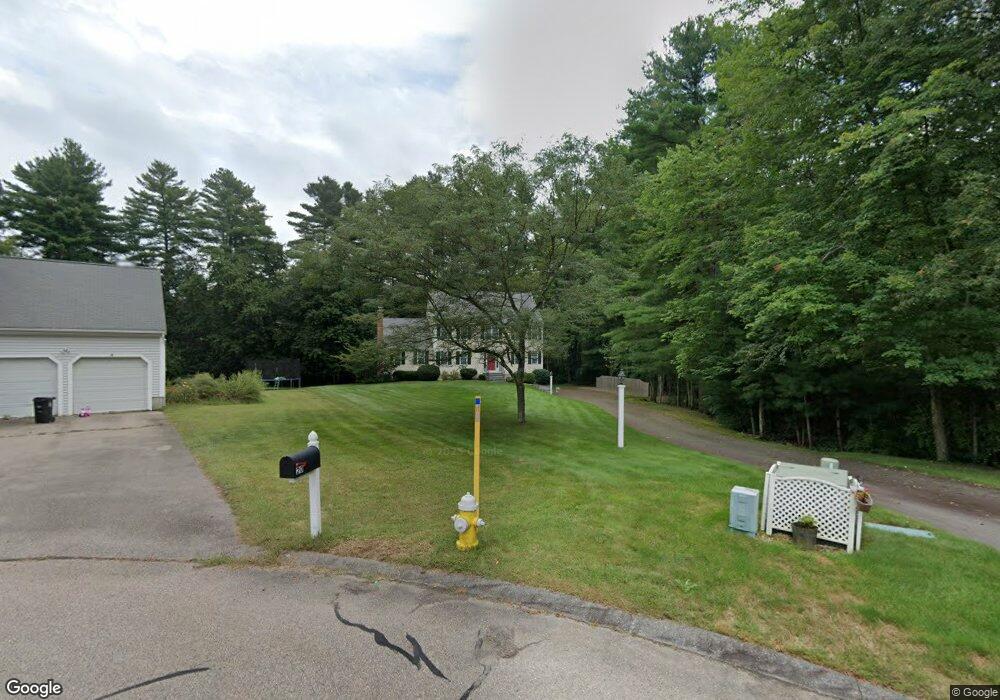
10 Binney Cir Wrentham, MA 02093
Estimated Value: $862,000 - $974,000
4
Beds
3
Baths
2,512
Sq Ft
$365/Sq Ft
Est. Value
About This Home
This home is located at 10 Binney Cir, Wrentham, MA 02093 and is currently estimated at $915,972, approximately $364 per square foot. 10 Binney Cir is a home located in Norfolk County with nearby schools including Delaney Elementary School and Charles E Roderick.
Ownership History
Date
Name
Owned For
Owner Type
Purchase Details
Closed on
Nov 20, 1998
Sold by
Paragon Bldrs Inc
Bought by
Haley Kevn R and Haley Denise A
Current Estimated Value
Home Financials for this Owner
Home Financials are based on the most recent Mortgage that was taken out on this home.
Original Mortgage
$200,000
Outstanding Balance
$43,272
Interest Rate
6.49%
Mortgage Type
Purchase Money Mortgage
Estimated Equity
$872,700
Create a Home Valuation Report for This Property
The Home Valuation Report is an in-depth analysis detailing your home's value as well as a comparison with similar homes in the area
Home Values in the Area
Average Home Value in this Area
Purchase History
| Date | Buyer | Sale Price | Title Company |
|---|---|---|---|
| Haley Kevn R | $297,250 | -- |
Source: Public Records
Mortgage History
| Date | Status | Borrower | Loan Amount |
|---|---|---|---|
| Open | Haley Kevn R | $200,000 |
Source: Public Records
Tax History Compared to Growth
Tax History
| Year | Tax Paid | Tax Assessment Tax Assessment Total Assessment is a certain percentage of the fair market value that is determined by local assessors to be the total taxable value of land and additions on the property. | Land | Improvement |
|---|---|---|---|---|
| 2025 | $8,850 | $763,600 | $304,900 | $458,700 |
| 2024 | $8,531 | $710,900 | $304,900 | $406,000 |
| 2023 | $8,208 | $650,400 | $277,300 | $373,100 |
| 2022 | $7,840 | $573,500 | $258,800 | $314,700 |
| 2021 | $7,259 | $515,900 | $226,200 | $289,700 |
| 2020 | $7,550 | $529,800 | $201,400 | $328,400 |
| 2019 | $7,269 | $514,800 | $201,400 | $313,400 |
| 2018 | $6,906 | $485,000 | $201,600 | $283,400 |
| 2017 | $6,723 | $471,800 | $197,800 | $274,000 |
| 2016 | $6,623 | $463,800 | $192,000 | $271,800 |
| 2015 | $6,606 | $441,000 | $184,600 | $256,400 |
| 2014 | $6,540 | $427,200 | $177,600 | $249,600 |
Source: Public Records
Map
Nearby Homes
- 50 Reed Fulton Ave Unit Lot 61
- 45 Joshua Rd
- 570 Franklin St
- 246 Forest Grove Ave
- 45 King St
- 12 Waites Crossing Way
- 3 Oak Rd
- 11 Elliot Mills Unit 11
- 14 Essex St
- 3 Sparrow Rd
- 11 Waites Crossing
- 20 Waites Crossing
- 19 Waites Crossing
- 9 Waites Crossing
- 13 Waites Crossing
- 10 Nature View Dr
- 15 Nature View Dr
- 0 W Birch Rd
- 10 W Birch Rd
- 11 Quail Run Rd