10 Birch Ln Chebeague Island, ME 04017
Chebeague Island NeighborhoodEstimated Value: $927,985 - $1,627,000
4
Beds
3
Baths
2,156
Sq Ft
$619/Sq Ft
Est. Value
About This Home
This home is located at 10 Birch Ln, Chebeague Island, ME 04017 and is currently estimated at $1,333,496, approximately $618 per square foot. 10 Birch Ln is a home located in Cumberland County with nearby schools including Chebeague Island School, Mabel I. Wilson School, and Greely Middle School 4-5.
Ownership History
Date
Name
Owned For
Owner Type
Purchase Details
Closed on
Mar 1, 2022
Sold by
Joseph A Barcia Ret
Bought by
Taylor Judith A
Current Estimated Value
Purchase Details
Closed on
May 22, 2015
Sold by
Barcia Joseph A and Barcia Carole S
Bought by
Joseph A Barcia Ret and Barcia Carole S
Create a Home Valuation Report for This Property
The Home Valuation Report is an in-depth analysis detailing your home's value as well as a comparison with similar homes in the area
Home Values in the Area
Average Home Value in this Area
Purchase History
| Date | Buyer | Sale Price | Title Company |
|---|---|---|---|
| Taylor Judith A | -- | None Available | |
| Taylor Judith A | -- | None Available | |
| Joseph A Barcia Ret | -- | -- | |
| Joseph A Barcia Ret | -- | -- |
Source: Public Records
Tax History Compared to Growth
Tax History
| Year | Tax Paid | Tax Assessment Tax Assessment Total Assessment is a certain percentage of the fair market value that is determined by local assessors to be the total taxable value of land and additions on the property. | Land | Improvement |
|---|---|---|---|---|
| 2024 | $9,798 | $421,400 | $194,800 | $226,600 |
| 2023 | $9,334 | $421,400 | $194,800 | $226,600 |
| 2022 | $8,934 | $421,400 | $194,800 | $226,600 |
| 2021 | $8,660 | $421,400 | $194,800 | $226,600 |
| 2020 | $8,575 | $421,400 | $194,800 | $226,600 |
| 2019 | $8,365 | $421,400 | $194,800 | $226,600 |
| 2018 | $8,302 | $421,400 | $194,800 | $226,600 |
| 2017 | $4,700 | $250,000 | $194,800 | $55,200 |
| 2016 | $4,548 | $249,200 | $194,800 | $54,400 |
| 2015 | $4,511 | $249,200 | $194,800 | $54,400 |
| 2014 | $4,336 | $249,200 | $194,800 | $54,400 |
| 2013 | -- | $249,200 | $194,800 | $54,400 |
Source: Public Records
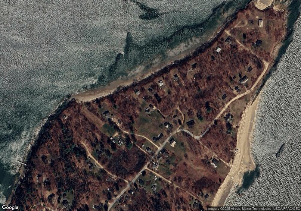
Map
Nearby Homes
- Lot 2 Buxhill Blvd
- 9 Central Landing Rd
- 9 Broad Reach Rd
- 471 South Rd Unit B
- 471 South Rd Unit A
- Lot#8C North Rd
- 460 South Rd
- 87 Wharf Rd
- 51 Oakland Ave
- 92 Spruce Point Rd
- 184 John Small Rd
- 184 Spruce Point Rd
- 61 Sawyer Rd
- 24 Daybreak Ln
- 13 & 13A Bustins Island
- 189 Basin Point Rd
- 6 Kane Ln
- 7 Lmc Ln
- 199 Princes Point Rd
- 25 Basin Cove Rd